
How to get from Concordia (Los Lagos Region) to Puyehue (Los Ríos Region)
Calculate route from Concordia (Los Lagos Region, Chile) to Puyehue (Los Ríos Region, Chile).
The flight distance (as the crow flies) between Concordia and Puyehue is 69.6 km.
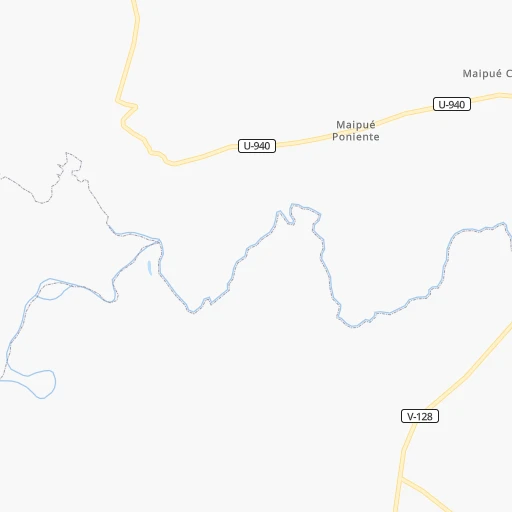
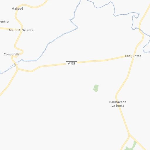
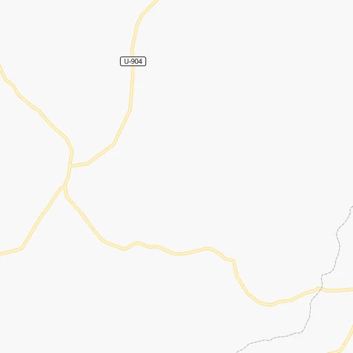
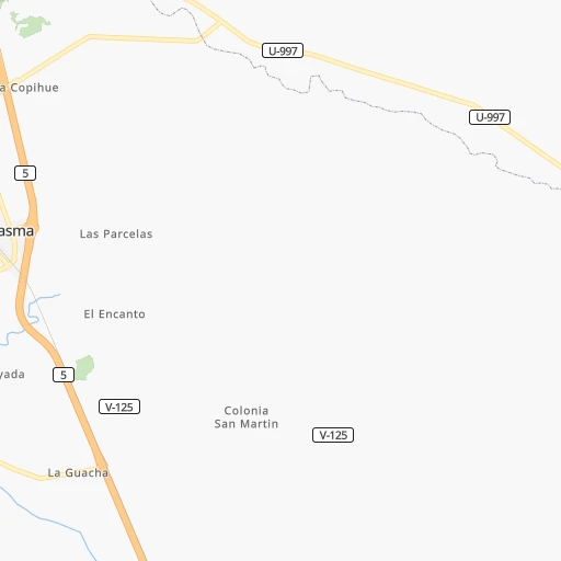
Roadmap (route) to go from Concordia to Puyehue detailed above, you can also see the course layout on the map.
While doing trip Concordia - Puyehue by car, the calculated route ends at a distance , or more straight.
Distance and duration of the route between Concordia and Puyehue
Calculation of distance and route from Puyehue to Concordia :
69.698.2 km2h40mn
Continue 0h0mn 43 mTurn left 0h0mn 128 mContinue onto Camino Ánima La Pampa - Concordia 0h1mn 702 mTurn left onto Ruta V-128 0h12mn 5.8 kmTurn left onto Ruta U-964-V 0h9mn 8.9 kmTurn left onto Pedro Aguirre Cerda 0h0mn 428 mTurn right onto 5 de Abril 0h0mn 147 mTurn right onto Vicente Pérez Rosales 0h0mn 426 mTurn left onto Arturo Prat 0h2mn 2.2 kmKeep right 0h0mn 53 mTurn slight right onto Ruta U-964-V 0h0mn 443 mTurn left onto Ruta U-951 0h20mn 22.4 kmTurn sharp left onto Ruta U-55-V 0h3mn 4.6 kmTurn right 0h7mn 3.5 kmTurn sharp right onto Ruta U-55-V 0h4mn 6.7 kmTurn left onto Ruta U-981-T 1h39mn 40.8 kmTurn right onto Ruta T-985 0h1mn 785 mArrive at destination 0h0mn 0 m
Travel from Concordia (Los Ríos Region) to a selection of major cities.
Distances from Concordia to biggest cities in Los Lagos Region
Other major cities in country :
- Copiapo [05], 129,280 inhabitants. 1,542 km
- Los Angeles [06], 125,430 inhabitants. 402 km
- Punta Arenas [10], 117,430 inhabitants. 1,364 km
- Lo Prado [12], 104,316 inhabitants. 872 km
- Curico [11], 102,438 inhabitants. 694 km
- Villa Alemana [01], 97,320 inhabitants. 902 km
- Coronel [06], 92,940 inhabitants. 442 km
- San Antonio [01], 85,651 inhabitants. 838 km
- Chiguayante [06], 82,545 inhabitants. 455 km
- Ovalle [07], 77,138 inhabitants. 1,173 km
- Linares [11], 69,535 inhabitants. 593 km
- Quillota [01], 67,779 inhabitants. 922 km
- Penaflor [12], 65,495 inhabitants. 851 km
- Melipilla [12], 63,100 inhabitants. 835 km
- San Felipe [01], 59,294 inhabitants. 947 km
- Los Andes [01], 56,859 inhabitants. 940 km
- Buin [12], 55,441 inhabitants. 840 km
- Talagante [12], 51,764 inhabitants. 843 km
Route from Puyehue to major cities (Chile).
- Distance Puyehue Santiago820 km
- Distance Puyehue Puente Alto805 km
- Distance Puyehue Antofagasta1,904 km
- Distance Puyehue Vina del Mar855 km
- Distance Puyehue Valparaiso853 km
- Distance Puyehue Talcahuano440 km
- Distance Puyehue San Bernardo805 km
- Distance Puyehue Temuco214 km
- Distance Puyehue Iquique2,288 km
- Distance Puyehue Concepcion428 km
- Distance Puyehue Rancagua741 km
- Distance Puyehue La Pintana807 km
- Distance Puyehue Talca588 km
- Distance Puyehue Arica2,479 km
- Distance Puyehue Coquimbo1,197 km
- Distance Puyehue Puerto Montt95 km
- Distance Puyehue La Serena1,203 km
- Distance Puyehue Chillan453 km
- Distance Puyehue Calama2,056 km
- Distance Puyehue Osorno46 km
Nearest cities to Concordia :
- Temuco, 238,129 inhabitants. 259 km
- Puerto Montt, 160,054 inhabitants. 60 km
- Osorno, 135,773 inhabitants. 50 km
- Valdivia, 133,419 inhabitants. 132 km
- Villarrica, 31,602 inhabitants. 212 km
- Las Animas, 30,000 inhabitants. 133 km
- Castro, 29,926 inhabitants. 168 km
- Ancud, 28,020 inhabitants. 106 km
- Pucon, 26,953 inhabitants. 223 km
- La Union, 26,298 inhabitants. 81 km
- Puerto Varas, 24,958 inhabitants. 44 km
- Victoria, 24,555 inhabitants. 319 km
- Quellon, 21,823 inhabitants. 237 km
- Lautaro, 21,579 inhabitants. 285 km
- Nueva Imperial, 18,777 inhabitants. 253 km
- Frutillar, 16,939 inhabitants. 25 km
- Panguipulli, 16,312 inhabitants. 172 km
- Loncoche, 15,590 inhabitants. 191 km
- Rio Bueno, 15,456 inhabitants. 80 km
- Traiguen, 14,481 inhabitants. 311 km
- Pitrufquen, 13,743 inhabitants. 231 km
- Purranque, 13,619 inhabitants. 15 km
- Chonchi, 12,572 inhabitants. 185 km
- Calbuco, 12,490 inhabitants. 87 km
- Carahue, 11,875 inhabitants. 255 km
- Vilcun, 9,241 inhabitants. 275 km
- Freire, 7,813 inhabitants. 235 km
- Chaiten, 4,065 inhabitants. 218 km
- Puyehue, 3,932 inhabitants. 70 km
- Corral, 3,500 inhabitants. 125 km
Location Concordia (Los Lagos Region) :
| Country flag |  |
| Location | Concordia |
| State | Los Lagos Region |
| County | |
| Country | Chile |
| Country code / ISO 2 | CL |
| Latitude | -41.0038600 |
| Longitude | -73.2934900 |
| Altitude | 0 meters |
| Time zone | America/Santiago |
Location Puyehue (Los Ríos Region) :
| Country flag | |
| Location | Puyehue |
| State | Los Ríos Region |
| County | Provincia del Ranco |
| Country | Chile |
| Country code / ISO 2 | CL |
| Latitude | -40.6594400 |
| Longitude | -72.6017200 |
| Altitude | 0 meters |
| Time zone | America/Santiago |