
How to get from Mecheri Road (Tamil Nadu) to Ambattur (Tamil Nadu)
Calculate route from Mecheri Road (Tamil Nadu, India) to Ambattur (Tamil Nadu, India).
The flight distance (as the crow flies) between Mecheri Road and Ambattur is 282.4 km.
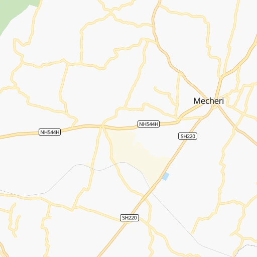
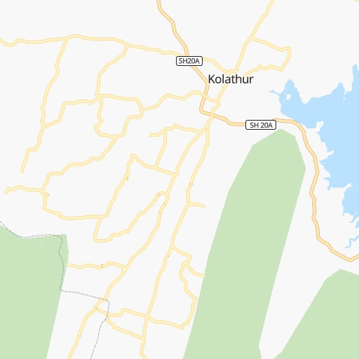
Roadmap (route) to go from Mecheri Road to Ambattur detailed above, you can also see the course layout on the map.
While doing trip Mecheri Road - Ambattur by car, the calculated route ends at a distance , or more straight.
Distance and duration of the route between Mecheri Road and Ambattur
Calculation of distance and route from Ambattur to Mecheri Road :
282.4327.3 km5h55mn
Continue onto Sankari - Edappadi - Mecheri Road 0h4mn 4.0 kmTurn left onto SH222 0h0mn 247 mTurn sharp right onto NH544H 0h11mn 13.1 kmKeep left 0h0mn 284 mKeep left 0h6mn 4.9 kmTurn left onto NH44 0h20mn 24.0 kmKeep left onto NH44 Service Lanes 0h1mn 608 mTurn right onto Hogenakkal – Pennagaram – Dharmapuri – Tirupattur Road 0h2mn 2.5 kmAt roundabout, take exit 1 onto Varanasi - Kanniyakumari Road (Old NH7) 0h1mn 999 mTurn right 0h1mn 421 mTurn slight left onto Hogenakkal – Pennagaram – Dharmapuri – Tirupattur Road 0h14mn 15.6 kmAt roundabout, take exit 2 onto Hogenakkal – Pennagaram – Dharmapuri – Tirupattur Road 1h40mn 43.4 kmTurn right onto Hogenakkal – Pennagaram – Dharmapuri – Tirupattur Road 0h0mn 9 mTurn slight left onto Hogenakkal – Pennagaram – Dharmapuri – Tirupattur Road 0h0mn 23 mTurn right onto Hogenakkal – Pennagaram – Dharmapuri – Tirupattur Road 0h1mn 1.0 kmKeep left onto NH179A 0h3mn 3.9 kmAt roundabout, take exit 2 onto Salem - Thirupathur - Vaniyambadi Road 0h14mn 16.4 kmTurn left onto Salem - Thirupathur - Vaniyambadi Road 0h0mn 40 mTurn left 0h0mn 335 mTurn right 0h16mn 19.2 kmKeep right onto NH48 1h20mn 92.7 kmTurn left onto Arakkonam - Ocheri Road 0h7mn 7.8 kmKeep right onto Panapakkam - Ganapathipuram - Thakkolam Road 0h12mn 12.5 kmTurn sharp left onto Sadras - Chengalpattu - Kancheepuram - Arakkonam - Tiruthani Road 0h0mn 50 mTurn right onto Panapakkam - Ganapathipuram - Thakkolam Road 0h6mn 6.3 kmTurn slight right 0h4mn 2.1 kmTurn right 0h0mn 7 mTurn left 0h1mn 696 mTurn right 0h0mn 85 mKeep right 0h1mn 171 mTurn slight right 0h3mn 1.5 kmTurn sharp left onto Pichivakkam - Kandivakkam Road 0h1mn 620 mTurn right onto Thandalam - Perambakkam - Thakkolam - Arugilpadi Road 0h27mn 30.1 kmTurn left onto NH48 0h15mn 17.6 kmKeep left 0h3mn 4.2 kmArrive at destination 0h0mn 0 m
Travel from Mecheri Road (Tamil Nadu) to a selection of major cities.
Distances from Mecheri Road to biggest cities in Tamil Nadu
- Alandur,153,775 inhabitants.282 km
- Erode,147,270 inhabitants.56 km
- Kumbakonam,139,264 inhabitants.186 km
- Tiruvannamalai,138,243 inhabitants.134 km
- Rajapalaiyam,124,168 inhabitants.265 km
- Pudukkottai,112,118 inhabitants.186 km
- Ambur,109,873 inhabitants.140 km
- Hosur,103,724 inhabitants.104 km
- Ooty,98,238 inhabitants.141 km
- Villupuram,97,380 inhabitants.172 km
- Negapatam,94,238 inhabitants.240 km
- Gudiyatham,93,973 inhabitants.164 km
- Karaikkudi,91,908 inhabitants.214 km
- Valparai,90,353 inhabitants.196 km
- Kovilpatti,90,296 inhabitants.293 km
- Vaniyambadi,90,288 inhabitants.124 km
- Pollachi,88,214 inhabitants.162 km
- Tiruchengode,87,123 inhabitants.47 km
- Mayiladuthurai,86,660 inhabitants.205 km
- Paramagudi,85,695 inhabitants.262 km
Other major cities in country :
- Nashik [16], 1,289,497 inhabitants. 1,013 km
- Pimpri [16], 1,284,606 inhabitants. 878 km
- Kalyan [16], 1,262,255 inhabitants. 974 km
- Thane [16], 1,261,517 inhabitants. 980 km
- Meerut [36], 1,223,184 inhabitants. 1,912 km
- Nowrangapur [21], 1,220,946 inhabitants. 964 km
- Faridabad [10], 1,220,229 inhabitants. 1,850 km
- Ghaziabad [36], 1,199,191 inhabitants. 1,878 km
- Dombivli [16], 1,193,000 inhabitants. 975 km
- Rajkot [09], 1,177,362 inhabitants. 1,392 km
- Varanasi [36], 1,164,404 inhabitants. 1,597 km
- Amritsar [23], 1,092,450 inhabitants. 2,228 km
- Allahabad [36], 1,073,438 inhabitants. 1,573 km
- Visakhapatnam [02], 1,063,178 inhabitants. 866 km
- Jabalpur [35], 1,030,168 inhabitants. 1,283 km
- Haora [28], 1,027,672 inhabitants. 1,630 km
- Aurangabad [16], 1,016,441 inhabitants. 940 km
- Shivaji Nagar [16], 1,000,000 inhabitants. 867 km
- Solapur [16], 997,281 inhabitants. 688 km
- Srinagar [12], 975,857 inhabitants. 2,500 km
Route from Ambattur to major cities (India).
- Distance Ambattur Mumbai1,024 km
- Distance Ambattur Delhi1,758 km
- Distance Ambattur Bengaluru279 km
- Distance Ambattur Kolkata1,365 km
- Distance Ambattur Ahmedabad1,364 km
- Distance Ambattur Hyderabad511 km
- Distance Ambattur Pune906 km
- Distance Ambattur Surat1,191 km
- Distance Ambattur Kanpur1,488 km
- Distance Ambattur Jaipur1,605 km
- Distance Ambattur Navi Mumbai1,010 km
- Distance Ambattur Lucknow1,532 km
- Distance Ambattur Nagpur903 km
- Distance Ambattur Indore1,165 km
- Distance Ambattur Patna1,485 km
- Distance Ambattur Bhopal1,168 km
- Distance Ambattur Ludhiana2,032 km
- Distance Ambattur Agra1,584 km
- Distance Ambattur Vadodara1,261 km
- Distance Ambattur Gorakhpur1,878 km
Nearest cities to Mecheri Road :
- Bengaluru, 5,104,047 inhabitants. 135 km
- Chennai, 4,328,063 inhabitants. 293 km
- Teni, 1,034,724 inhabitants. 205 km
- Coimbatore, 959,823 inhabitants. 137 km
- Madurai, 909,908 inhabitants. 211 km
- Mysore, 868,313 inhabitants. 150 km
- Salem, 778,396 inhabitants. 30 km
- Tiruchirappalli, 775,484 inhabitants. 139 km
- Cochin, 604,696 inhabitants. 276 km
- Kozhikode, 439,922 inhabitants. 242 km
- Davangere, 435,128 inhabitants. 367 km
- Nellore, 404,158 inhabitants. 370 km
- Tiruppur, 397,521 inhabitants. 99 km
- Kollam, 394,163 inhabitants. 357 km
- Ambattur, 341,049 inhabitants. 283 km
- Trichur, 325,110 inhabitants. 235 km
- Shimoga, 319,550 inhabitants. 348 km
- Tumkur, 307,359 inhabitants. 193 km
- Tirupati, 250,821 inhabitants. 261 km
- Avadi, 250,044 inhabitants. 279 km
- Tiruvottiyur, 248,059 inhabitants. 299 km
- Anantapur, 240,442 inhabitants. 322 km
- Puducherry, 227,411 inhabitants. 208 km
- Tanjore, 219,571 inhabitants. 175 km
- Dindigul, 200,797 inhabitants. 160 km
- Proddatur, 177,797 inhabitants. 335 km
- Vellore, 177,081 inhabitants. 181 km
- Alleppey, 176,783 inhabitants. 311 km
- Tambaram, 174,787 inhabitants. 270 km
- Bhadravati, 163,903 inhabitants. 331 km
- Cuddalore, 158,569 inhabitants. 201 km
- Pallavaram, 157,145 inhabitants. 275 km
- Kanchipuram, 155,029 inhabitants. 225 km
- Alandur, 153,775 inhabitants. 282 km
- Erode, 147,270 inhabitants. 56 km
- Kumbakonam, 139,264 inhabitants. 186 km
- Chitradurga, 138,587 inhabitants. 316 km
- Tiruvannamalai, 138,243 inhabitants. 134 km
- Robertsonpet, 135,218 inhabitants. 134 km
- Mandya, 134,845 inhabitants. 137 km
- Hindupur, 133,298 inhabitants. 230 km
- Palghat, 132,728 inhabitants. 180 km
- Hassan, 128,531 inhabitants. 239 km
- Cuddapah, 127,010 inhabitants. 313 km
- Kolar, 126,441 inhabitants. 150 km
- Rajapalaiyam, 124,168 inhabitants. 265 km
- Chikmagalur, 121,484 inhabitants. 288 km
- Yelahanka, 116,447 inhabitants. 149 km
- Dharmavaram, 114,050 inhabitants. 291 km
- Pudukkottai, 112,118 inhabitants. 186 km
Location Mecheri Road (Tamil Nadu) :
| Country flag |  |
| Location | Mecheri Road |
| State | Tamil Nadu |
| County | Salem |
| Country | India |
| Country code / ISO 2 | IN |
| Latitude | 11.8042100 |
| Longitude | 77.9218600 |
| Altitude | 0 meters |
| Time zone | Asia/Kolkata |
Location Ambattur (Tamil Nadu) :
| Country flag | |
| Location | Ambattur |
| State | Tamil Nadu |
| County | Thiruvallur |
| Country | India |
| Country code / ISO 2 | IN |
| Latitude | 13.0981800 |
| Longitude | 80.1615200 |
| Altitude | 0 meters |
| Time zone | Asia/Kolkata |


