


How to get from Keutguda (Odisha) to Mumbai (Maharashtra)
Calculate route from Keutguda (Odisha, India) to Mumbai (Maharashtra, India).
The flight distance (as the crow flies) between Keutguda and Mumbai is 1,100.6 km.
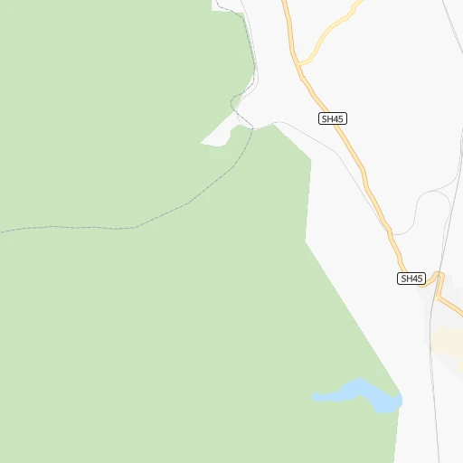
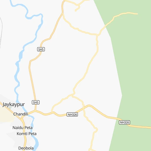
Roadmap (route) to go from Keutguda to Mumbai detailed above, you can also see the course layout on the map.
While doing trip Keutguda - Mumbai by car, the calculated route ends at a distance , or more straight.
Distance and duration of the route between Keutguda and Mumbai
Calculation of distance and route from Mumbai to Keutguda :
1,100.61,370.6 km17h28mn
Continue 0h1mn 715 mTurn left onto SH45 1h45mn 48.9 kmTurn right 0h21mn 17.3 kmTurn sharp left 1h31mn 26.1 kmTurn left 0h2mn 1.2 kmKeep left 0h1mn 658 mContinue onto NH26 0h1mn 890 mTurn right onto NH26 0h25mn 28.9 kmKeep right 0h0mn 60 mTurn slight right onto Baldhiamal - Dharamgarh Road 0h15mn 17.2 kmTurn left onto NH130C 0h0mn 72 mTurn left onto NH130C 1h11mn 82.9 kmTurn left onto SH6 1h46mn 50.5 kmKeep left 0h21mn 17.2 kmTurn slight right 0h30mn 25.4 kmKeep left 0h3mn 2.5 kmTurn left 0h10mn 9.9 kmTurn left 0h1mn 612 mTurn slight left 0h29mn 29.0 kmTurn right onto SH7 0h1mn 1.3 kmTurn left 0h21mn 22.7 kmKeep left 0h0mn 394 mTurn left 0h11mn 12.0 kmTurn left 0h0mn 351 mTurn slight left onto Bypass Road 0h5mn 6.3 kmTurn left onto NH53 1h22mn 95.7 kmTurn slight left onto NH53 1h40mn 46.8 kmAt roundabout, take exit 3 onto NH53 0h0mn 148 mTurn left onto NH53 1h46mn 51.8 kmKeep left 0h24mn 27.6 kmAt roundabout, take exit 1 onto Mumbai - Nagpur Expressway 6h60mn 625.8 kmAt roundabout, take exit 2 0h1mn 868 mTurn left onto NH160 1h5mn 76.1 kmTurn right onto Agra Road 0h6mn 6.6 kmTurn left onto Agra Road 0h0mn 254 mContinue 0h0mn 129 mKeep right 0h1mn 937 mKeep right 0h1mn 982 mContinue onto Agra Road 0h10mn 11.7 kmKeep left onto Agra Road 0h1mn 1.0 kmKeep right 0h0mn 164 mTurn left 0h2mn 2.8 kmKeep left 0h0mn 360 mTurn right onto Lal Bahadur Shastri Marg 0h1mn 913 mAt roundabout, take exit 1 onto LBS Marg 0h11mn 12.9 kmTurn sharp left onto Mahatma Gandhi Road 0h0mn 408 mTurn left onto Cama Lane 0h0mn 11 mTurn right onto Cama Lane 0h0mn 310 mTurn left onto Jugaldas Modi Marg 0h1mn 550 mTurn right onto Jugaldas Modi Marg 0h0mn 246 mTurn left onto Station Road 0h0mn 240 mTurn right 0h2mn 1.5 kmTurn left 0h1mn 492 mTurn left 0h0mn 39 mTurn right 0h0mn 58 mTurn right 0h0mn 97 mArrive at destination 0h0mn 0 m
Travel from Keutguda (Maharashtra) to a selection of major cities.
Distances from Keutguda to biggest cities in Odisha
- Angul,44,386 inhabitants.249 km
- Kendraparha,43,843 inhabitants.346 km
- Khurda,42,526 inhabitants.255 km
- Jajpur,42,157 inhabitants.355 km
- Sundargarh,41,705 inhabitants.321 km
- Koraput,41,170 inhabitants.88 km
- Burla,40,816 inhabitants.251 km
- Talcher,38,436 inhabitants.268 km
- Phulbani,36,613 inhabitants.159 km
- Patamundai,34,400 inhabitants.363 km
- Jagatsinghapur,32,945 inhabitants.312 km
- Basudebpur,31,827 inhabitants.405 km
- Remuna,30,319 inhabitants.441 km
- Soro,29,797 inhabitants.410 km
- Titlagarh,28,405 inhabitants.112 km
- Birmitrapur,27,879 inhabitants.374 km
- Hirakud,27,277 inhabitants.253 km
- Malakanagiri,25,054 inhabitants.188 km
- Jaleshwar,23,280 inhabitants.489 km
- Kuchaiburi,23,072 inhabitants.441 km
Other major cities in country :
- Vadodara [09], 1,409,476 inhabitants. 1,108 km
- Gorakhpur [10], 1,324,570 inhabitants. 1,372 km
- Nashik [16], 1,289,497 inhabitants. 1,007 km
- Pimpri [16], 1,284,606 inhabitants. 1,009 km
- Kalyan [16], 1,262,255 inhabitants. 1,075 km
- Thane [16], 1,261,517 inhabitants. 1,093 km
- Meerut [36], 1,223,184 inhabitants. 1,221 km
- Faridabad [10], 1,220,229 inhabitants. 1,186 km
- Ghaziabad [36], 1,199,191 inhabitants. 1,203 km
- Dombivli [16], 1,193,000 inhabitants. 1,081 km
- Rajkot [09], 1,177,362 inhabitants. 1,350 km
- Varanasi [36], 1,164,404 inhabitants. 670 km
- Amritsar [23], 1,092,450 inhabitants. 1,614 km
- Allahabad [36], 1,073,438 inhabitants. 701 km
- Visakhapatnam [02], 1,063,178 inhabitants. 182 km
- Teni [25], 1,034,724 inhabitants. 1,213 km
- Jabalpur [35], 1,030,168 inhabitants. 557 km
- Haora [28], 1,027,672 inhabitants. 631 km
- Aurangabad [16], 1,016,441 inhabitants. 844 km
- Shivaji Nagar [16], 1,000,000 inhabitants. 1,006 km
Route from Mumbai to major cities (India).
- Distance Mumbai Delhi1,154 km
- Distance Mumbai Bengaluru846 km
- Distance Mumbai Kolkata1,656 km
- Distance Mumbai Chennai1,034 km
- Distance Mumbai Ahmedabad441 km
- Distance Mumbai Hyderabad619 km
- Distance Mumbai Surat236 km
- Distance Mumbai Kanpur1,124 km
- Distance Mumbai Jaipur923 km
- Distance Mumbai Lucknow1,194 km
- Distance Mumbai Indore509 km
- Distance Mumbai Patna1,454 km
- Distance Mumbai Bhopal661 km
- Distance Mumbai Ludhiana1,351 km
- Distance Mumbai Tirunelveli1,263 km
- Distance Mumbai Agra1,044 km
- Distance Mumbai Vadodara361 km
- Distance Mumbai Gorakhpur1,189 km
- Distance Mumbai Meerut1,207 km
- Distance Mumbai Nowrangapur1,016 km
Nearest cities to Keutguda :
- Nowrangapur, 1,220,946 inhabitants. 87 km
- Visakhapatnam, 1,063,178 inhabitants. 182 km
- Vijayawada, 874,587 inhabitants. 424 km
- Bhubaneshwar, 762,243 inhabitants. 280 km
- Raipur, 679,995 inhabitants. 281 km
- Bhilai, 625,138 inhabitants. 293 km
- Cuttack, 580,000 inhabitants. 293 km
- Raurkela, 536,450 inhabitants. 361 km
- Brahmapur, 324,726 inhabitants. 150 km
- Rajahmundry, 304,804 inhabitants. 306 km
- Kakinada, 292,923 inhabitants. 287 km
- Bilaspur, 282,705 inhabitants. 334 km
- Gajuwaka, 258,944 inhabitants. 179 km
- Durg, 255,283 inhabitants. 303 km
- Ellore, 183,387 inhabitants. 375 km
- Vizianagaram, 179,358 inhabitants. 132 km
- Puri, 170,841 inhabitants. 264 km
- Sambalpur, 162,887 inhabitants. 249 km
- Raj-Nandgaon, 150,755 inhabitants. 316 km
- Bhimavaram, 142,967 inhabitants. 364 km
- Raigarh, 121,278 inhabitants. 289 km
- Chicacole, 118,299 inhabitants. 125 km
- Gudivada, 116,161 inhabitants. 406 km
- Tadepallegudem, 108,167 inhabitants. 339 km
- Balangir, 91,241 inhabitants. 156 km
- Dhamtari, 87,151 inhabitants. 246 km
- Anakapalle, 84,357 inhabitants. 184 km
- Jeypore, 80,837 inhabitants. 97 km
- Jharsugra, 79,492 inhabitants. 293 km
- Brajarajnagar, 79,421 inhabitants. 286 km
- Kottagudem, 79,247 inhabitants. 350 km
- Jagdalpur, 76,465 inhabitants. 144 km
- Paloncha, 75,224 inhabitants. 339 km
- Bargarh, 68,670 inhabitants. 227 km
- Palwancha, 68,561 inhabitants. 343 km
- Tanuku, 68,290 inhabitants. 335 km
- Attili, 68,196 inhabitants. 345 km
- Palasa, 65,833 inhabitants. 125 km
- Bhawanipatna, 64,468 inhabitants. 70 km
- Dhenkanal, 62,230 inhabitants. 278 km
- Mangalagiri, 59,391 inhabitants. 436 km
- Narasapur, 59,306 inhabitants. 365 km
- Palakollu, 57,341 inhabitants. 355 km
- Bada Barabil, 56,870 inhabitants. 377 km
- Jatani, 56,003 inhabitants. 263 km
- Samalkot, 55,097 inhabitants. 280 km
- Nuzvid, 53,391 inhabitants. 387 km
- Bobbili, 52,843 inhabitants. 81 km
- Pithapuram, 52,709 inhabitants. 270 km
- Amalapuram, 52,690 inhabitants. 336 km
Location Keutguda (Odisha) :
| Country flag |  |
| Location | Keutguda |
| State | Odisha |
| County | Rayagada |
| Country | India |
| Country code / ISO 2 | IN |
| Latitude | 19.3034700 |
| Longitude | 83.3680700 |
| Altitude | 0 meters |
| Time zone | Asia/Kolkata |
Location Mumbai (Maharashtra) :
| Country flag | |
| Location | Mumbai |
| State | Maharashtra |
| County | |
| Country | India |
| Country code / ISO 2 | IN |
| Latitude | 19.0728300 |
| Longitude | 72.8826100 |
| Altitude | 0 meters |
| Time zone | Asia/Kolkata |


