

How to get from Kempalsad (Maharashtra) to Virār (Maharashtra)
Calculate route from Kempalsad (Maharashtra, India) to Virār (Maharashtra, India).
The flight distance (as the crow flies) between Kempalsad and Virār is 696.5 km.
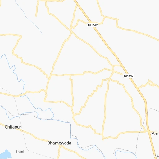
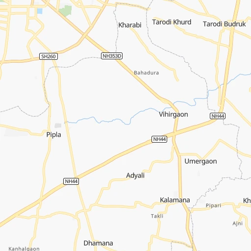
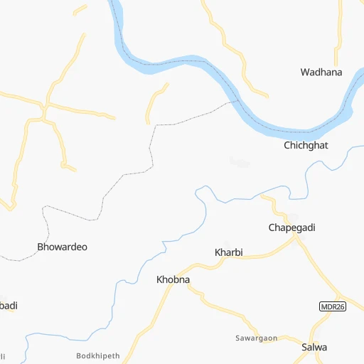
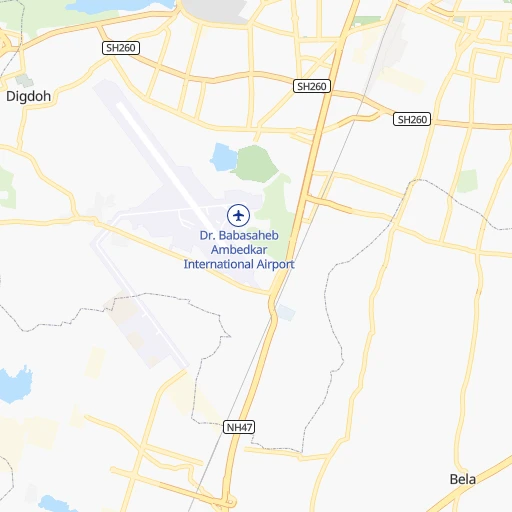
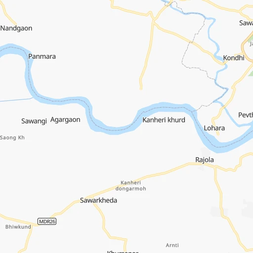
Roadmap (route) to go from Kempalsad to Virār detailed above, you can also see the course layout on the map.
While doing trip Kempalsad - Virār by car, the calculated route ends at a distance , or more straight.
Distance and duration of the route between Kempalsad and Virār
Calculation of distance and route from Virār to Kempalsad :
696.5775.8 km8h18mn
Continue 0h1mn 802 mTurn slight right 0h0mn 30 mTurn right 0h5mn 3.8 kmTurn sharp left 0h5mn 4.5 kmTurn left 0h4mn 3.5 kmTurn right 0h1mn 954 mTurn right onto Umred Road 0h1mn 737 mTurn sharp left 0h17mn 19.6 kmAt roundabout, take exit 1 onto Mumbai - Nagpur Expressway 6h60mn 625.8 kmAt roundabout, take exit 2 0h1mn 868 mTurn left onto NH160 1h51mn 59.9 kmTurn right onto Dugadphata road 0h8mn 9.0 kmTurn right onto Dugadphata road 0h1mn 839 mTurn left 0h6mn 4.7 kmTurn left onto Dugadphata road 0h1mn 920 mTurn right onto SH40 0h26mn 28.6 kmTurn left 0h1mn 965 mTurn right onto Chandansar Road 0h8mn 9.2 kmKeep right 0h1mn 515 mTurn left 0h1mn 339 mTurn sharp left onto Viva College Road 0h0mn 191 mTurn left 0h0mn 22 mArrive at destination 0h0mn 0 m
Travel from Kempalsad (Maharashtra) to a selection of major cities.
Distances from Kempalsad to biggest cities in Maharashtra
- Malegaon,435,362 inhabitants.496 km
- Jalgaon,429,298 inhabitants.384 km
- Akola,428,857 inhabitants.239 km
- Ahmadnagar,367,140 inhabitants.522 km
- Dhulia,366,980 inhabitants.467 km
- Latur,348,967 inhabitants.412 km
- Chanda,328,351 inhabitants.127 km
- Parbhani,289,629 inhabitants.330 km
- Ichalkaranji,274,383 inhabitants.704 km
- Jalna,262,034 inhabitants.379 km
- Amarnath,217,780 inhabitants.671 km
- Bhusaval,183,001 inhabitants.361 km
- Virar,150,357 inhabitants.698 km
- Yavatmal,128,175 inhabitants.141 km
- Panvel,128,046 inhabitants.685 km
- Gondia,124,897 inhabitants.105 km
- Wardha,113,759 inhabitants.79 km
- Satara,112,793 inhabitants.670 km
- Achalpur,111,278 inhabitants.183 km
- Barsi,110,983 inhabitants.491 km
Other major cities in country :
- Faridabad [10], 1,220,229 inhabitants. 839 km
- Ghaziabad [36], 1,199,191 inhabitants. 863 km
- Rajkot [09], 1,177,362 inhabitants. 886 km
- Varanasi [36], 1,164,404 inhabitants. 607 km
- Amritsar [23], 1,092,450 inhabitants. 1,251 km
- Allahabad [36], 1,073,438 inhabitants. 552 km
- Visakhapatnam [02], 1,063,178 inhabitants. 561 km
- Teni [25], 1,034,724 inhabitants. 1,248 km
- Jabalpur [35], 1,030,168 inhabitants. 242 km
- Haora [28], 1,027,672 inhabitants. 950 km
- Srinagar [12], 975,857 inhabitants. 1,512 km
- Chandigarh [05], 960,787 inhabitants. 1,102 km
- Coimbatore [25], 959,823 inhabitants. 1,149 km
- Jodhpur [24], 921,476 inhabitants. 860 km
- Madurai [25], 909,908 inhabitants. 1,249 km
- Guwahati [03], 899,094 inhabitants. 1,393 km
- Gwalior [35], 882,458 inhabitants. 583 km
- Vijayawada [02], 874,587 inhabitants. 530 km
- Mysore [19], 868,313 inhabitants. 1,018 km
- Ranchi [38], 846,454 inhabitants. 672 km
Route from Virār to major cities (India).
- Distance Virār Delhi1,118 km
- Distance Virār Bengaluru884 km
- Distance Virār Kolkata1,652 km
- Distance Virār Chennai1,067 km
- Distance Virār Ahmedabad398 km
- Distance Virār Hyderabad639 km
- Distance Virār Surat194 km
- Distance Virār Kanpur1,098 km
- Distance Virār Jaipur885 km
- Distance Virār Lucknow1,168 km
- Distance Virār Indore480 km
- Distance Virār Patna1,439 km
- Distance Virār Bhopal637 km
- Distance Virār Ludhiana1,311 km
- Distance Virār Tirunelveli1,305 km
- Distance Virār Agra1,011 km
- Distance Virār Vadodara319 km
- Distance Virār Gorakhpur1,149 km
- Distance Virār Meerut1,171 km
- Distance Virār Nowrangapur1,023 km
Nearest cities to Kempalsad :
- Nagpur, 2,228,018 inhabitants. 20 km
- Bhopal, 1,599,914 inhabitants. 308 km
- Jabalpur, 1,030,168 inhabitants. 242 km
- Raipur, 679,995 inhabitants. 247 km
- Bhilai, 625,138 inhabitants. 225 km
- Amravati, 603,837 inhabitants. 158 km
- Nanded, 550,564 inhabitants. 296 km
- Ramgundam, 452,261 inhabitants. 255 km
- Akola, 428,857 inhabitants. 239 km
- Punasa, 350,000 inhabitants. 323 km
- Latur, 348,967 inhabitants. 412 km
- Chanda, 328,351 inhabitants. 127 km
- Nizamabad, 305,438 inhabitants. 295 km
- Parbhani, 289,629 inhabitants. 330 km
- Bilaspur, 282,705 inhabitants. 319 km
- Durg, 255,283 inhabitants. 209 km
- Saugor, 247,333 inhabitants. 311 km
- Ramagundam, 235,000 inhabitants. 261 km
- Karimnagar, 228,745 inhabitants. 295 km
- Murwara, 195,856 inhabitants. 327 km
- Khandwa, 182,841 inhabitants. 313 km
- Raj-Nandgaon, 150,755 inhabitants. 183 km
- Vidisha, 140,045 inhabitants. 310 km
- Chhindwara, 134,847 inhabitants. 113 km
- Yavatmal, 128,175 inhabitants. 141 km
- Gondia, 124,897 inhabitants. 105 km
- Damoh, 118,776 inhabitants. 306 km
- Adilabad, 118,526 inhabitants. 175 km
- Wardha, 113,759 inhabitants. 79 km
- Achalpur, 111,278 inhabitants. 183 km
- Hoshangabad, 109,358 inhabitants. 244 km
- Seoni, 101,379 inhabitants. 115 km
- Udgir, 101,064 inhabitants. 375 km
- Itarsi, 100,574 inhabitants. 230 km
- Sehore, 99,284 inhabitants. 325 km
- Jagtial, 99,035 inhabitants. 258 km
- Hinganghat, 97,568 inhabitants. 74 km
- Parli Vaijnath, 94,863 inhabitants. 379 km
- Khamgaon, 94,604 inhabitants. 283 km
- Ballalpur, 92,146 inhabitants. 138 km
- Betul, 91,953 inhabitants. 168 km
- Bhandara, 90,183 inhabitants. 41 km
- Shahdol, 89,289 inhabitants. 327 km
- Dhamtari, 87,151 inhabitants. 241 km
- Akot, 86,917 inhabitants. 229 km
- Kamthi, 86,213 inhabitants. 16 km
- Nirmal, 80,982 inhabitants. 242 km
- Balaghat, 80,360 inhabitants. 126 km
- Mancheral, 77,998 inhabitants. 247 km
- Jagdalpur, 76,465 inhabitants. 365 km
Location Kempalsad (Maharashtra) :
| Country flag |  |
| Location | Kempalsad |
| State | Maharashtra |
| County | Nagpur Division |
| Country | India |
| Country code / ISO 2 | IN |
| Latitude | 21.0876500 |
| Longitude | 79.2633800 |
| Altitude | 0 meters |
| Time zone | Asia/Kolkata |
Location Virār (Maharashtra) :
| Country flag | |
| Location | Virār |
| State | Maharashtra |
| County | Thane |
| Country | India |
| Country code / ISO 2 | IN |
| Latitude | 19.4559100 |
| Longitude | 72.8113600 |
| Altitude | 0 meters |
| Time zone | Asia/Kolkata |


