
How to get from Nanjangud Town (Karnataka) to Gangāwati (Karnataka)
Calculate route from Nanjangud Town (Karnataka, India) to Gangāwati (Karnataka, India).
The flight distance (as the crow flies) between Nanjangud Town and Gangāwati is 368.1 km.
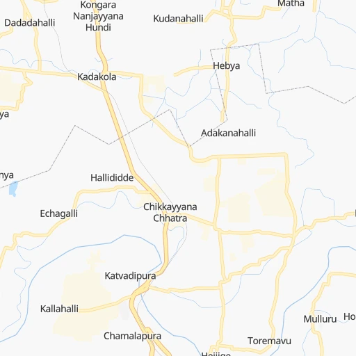
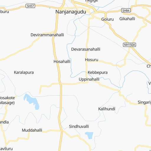
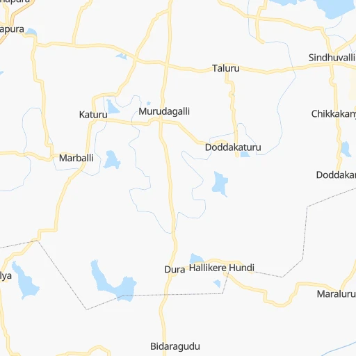
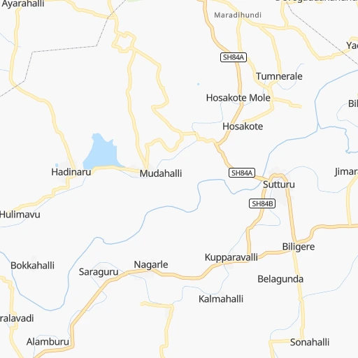
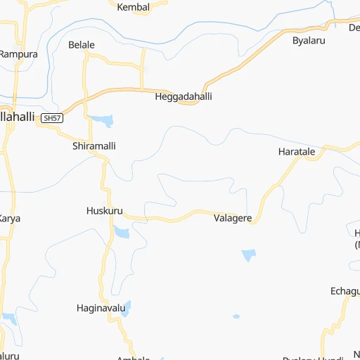
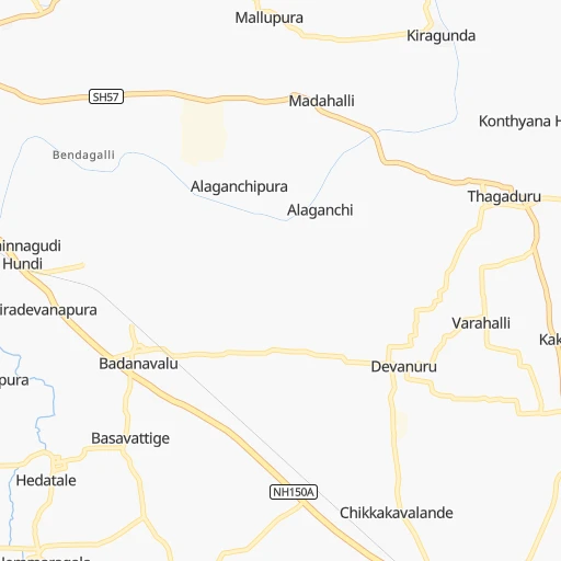
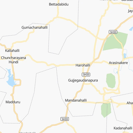
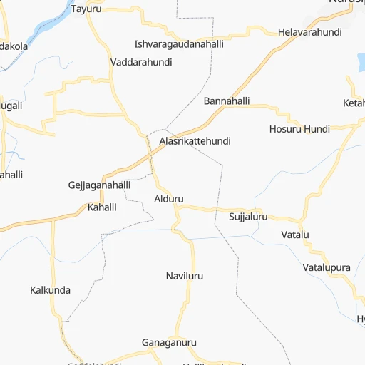
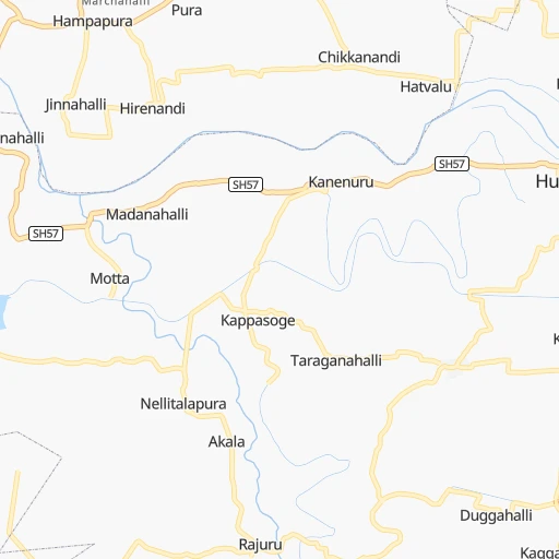
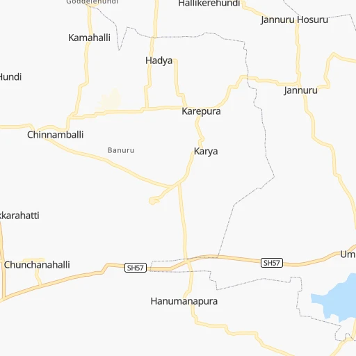
Roadmap (route) to go from Nanjangud Town to Gangāwati detailed above, you can also see the course layout on the map.
While doing trip Nanjangud Town - Gangāwati by car, the calculated route ends at a distance , or more straight.
Distance and duration of the route between Nanjangud Town and Gangāwati
Calculation of distance and route from Gangāwati to Nanjangud Town :
368.1434.9 km6h18mn
Continue 0h0mn 313 mTurn left 0h0mn 12 mKeep left onto Nanjanagudu Bypass 0h1mn 1.1 kmContinue 0h0mn 11 mTurn right onto Kozhikode - Kollegal Highway 0h1mn 1.0 kmTurn slight left onto Kozhikode - Kollegal Highway 0h0mn 12 mKeep left 0h0mn 517 mTurn slight left onto Kozhikode - Kollegal Highway 0h12mn 14.1 kmContinue onto Ooty Road 0h4mn 4.4 kmKeep left 0h0mn 184 mAt roundabout, take exit 3 0h1mn 879 mAt roundabout, take exit 2 onto Bangalore Nilgiri Road 0h1mn 801 mAt roundabout, take exit 2 onto Bangalore Nilgiri Road 0h0mn 481 mAt roundabout, take exit 2 0h0mn 377 mTurn right onto Ashoka Road 0h0mn 494 mAt roundabout, take exit 1 onto Ashoka Road 0h1mn 832 mAt roundabout, take exit 2 onto T. N. Narasimhamurthy Circle 0h0mn 135 mTurn sharp right onto Abdul Kalam Road 0h0mn 157 mTurn sharp left onto Bangalore Road 0h2mn 2.0 kmContinue onto NH75, 150A, NH275K 0h0mn 56 mKeep right onto Bangalore - Mysore Expressway 0h3mn 4.3 kmKeep left 0h1mn 1.1 kmContinue 0h4mn 3.2 kmTurn left 0h1mn 835 mTurn left 0h1mn 560 mTurn slight left 0h0mn 13 mTurn right onto Bangalore-Mysore Road 0h6mn 6.4 kmTurn left onto NH150A 0h3mn 3.7 kmAt roundabout, take exit 2 onto NH150A 0h0mn 140 mAt roundabout, take exit 2 0h1mn 863 mContinue onto NH150A 1h46mn 54.2 kmTurn left onto NH150A 0h14mn 16.7 kmTurn left onto NH150A 0h11mn 13.3 kmTurn right onto NH150A 1h45mn 52.6 kmKeep right 0h1mn 876 mTurn right onto NH150A 1h41mn 48.3 kmAt roundabout, take exit 1 1h36mn 42.5 kmKeep left toward NH50 2h42mn 119.0 kmKeep left onto SH25 and drive toward Hospet 0h4mn 4.6 kmKeep right 0h0mn 354 mTurn slight left onto Bus Stand Road 0h0mn 57 mKeep right 0h18mn 19.5 kmTurn left 0h4mn 4.2 kmTurn sharp right onto SH130 0h8mn 8.7 kmTurn right onto SH130 0h0mn 21 mTurn left onto SH130 0h0mn 203 mContinue 0h1mn 684 mTurn left 0h0mn 135 mTurn left 0h0mn 32 mArrive at destination 0h0mn 0 m
Travel from Nanjangud Town (Karnataka) to a selection of major cities.
Distances from Nanjangud Town to biggest cities in Karnataka
- Mandya,134,845 inhabitants.50 km
- Hassan,128,531 inhabitants.117 km
- Kolar,126,441 inhabitants.193 km
- Chikmagalur,121,484 inhabitants.166 km
- Yelahanka,116,447 inhabitants.147 km
- Gangawati,106,250 inhabitants.369 km
- Ranibennur,99,105 inhabitants.301 km
- Bagalkot,97,269 inhabitants.465 km
- Closepet,93,528 inhabitants.93 km
- Dod Ballapur,78,676 inhabitants.160 km
- Harihar,78,034 inhabitants.283 km
- Rabkavi,73,835 inhabitants.513 km
- Gokak,73,478 inhabitants.493 km
- Chintamani,71,798 inhabitants.206 km
- Sindhnur,68,793 inhabitants.406 km
- Chamrajnagar,67,992 inhabitants.36 km
- Channapatna,66,647 inhabitants.82 km
- Basavakalyan,65,805 inhabitants.641 km
- Yadgir,65,376 inhabitants.520 km
- Karwar,64,457 inhabitants.408 km
Other major cities in country :
- Gorakhpur [10], 1,324,570 inhabitants. 1,932 km
- Nashik [16], 1,289,497 inhabitants. 930 km
- Pimpri [16], 1,284,606 inhabitants. 787 km
- Kalyan [16], 1,262,255 inhabitants. 879 km
- Thane [16], 1,261,517 inhabitants. 883 km
- Meerut [36], 1,223,184 inhabitants. 1,880 km
- Nowrangapur [21], 1,220,946 inhabitants. 1,010 km
- Faridabad [10], 1,220,229 inhabitants. 1,814 km
- Ghaziabad [36], 1,199,191 inhabitants. 1,843 km
- Dombivli [16], 1,193,000 inhabitants. 879 km
- Rajkot [09], 1,177,362 inhabitants. 1,293 km
- Varanasi [36], 1,164,404 inhabitants. 1,612 km
- Amritsar [23], 1,092,450 inhabitants. 2,179 km
- Allahabad [36], 1,073,438 inhabitants. 1,579 km
- Visakhapatnam [02], 1,063,178 inhabitants. 935 km
- Teni [25], 1,034,724 inhabitants. 250 km
- Jabalpur [35], 1,030,168 inhabitants. 1,277 km
- Haora [28], 1,027,672 inhabitants. 1,696 km
- Aurangabad [16], 1,016,441 inhabitants. 875 km
- Shivaji Nagar [16], 1,000,000 inhabitants. 775 km
Route from Gangāwati to major cities (India).
- Distance Gangāwati Mumbai561 km
- Distance Gangāwati Delhi1,473 km
- Distance Gangāwati Kolkata1,476 km
- Distance Gangāwati Chennai481 km
- Distance Gangāwati Ahmedabad941 km
- Distance Gangāwati Hyderabad299 km
- Distance Gangāwati Pune446 km
- Distance Gangāwati Surat751 km
- Distance Gangāwati Kanpur1,291 km
- Distance Gangāwati Jaipur1,281 km
- Distance Gangāwati Navi Mumbai548 km
- Distance Gangāwati Lucknow1,349 km
- Distance Gangāwati Nagpur691 km
- Distance Gangāwati Indore814 km
- Distance Gangāwati Patna1,443 km
- Distance Gangāwati Bhopal876 km
- Distance Gangāwati Ludhiana1,725 km
- Distance Gangāwati Tirunelveli757 km
- Distance Gangāwati Agra1,317 km
- Distance Gangāwati Vadodara841 km
Nearest cities to Nanjangud Town :
- Bengaluru, 5,104,047 inhabitants. 137 km
- Teni, 1,034,724 inhabitants. 250 km
- Coimbatore, 959,823 inhabitants. 128 km
- Madurai, 909,908 inhabitants. 291 km
- Mysore, 868,313 inhabitants. 20 km
- Salem, 778,396 inhabitants. 169 km
- Tiruchirappalli, 775,484 inhabitants. 263 km
- Cochin, 604,696 inhabitants. 247 km
- Kozhikode, 439,922 inhabitants. 138 km
- Davangere, 435,128 inhabitants. 274 km
- Mangalore, 417,387 inhabitants. 218 km
- Tiruppur, 397,521 inhabitants. 134 km
- Trichur, 325,110 inhabitants. 186 km
- Shimoga, 319,550 inhabitants. 235 km
- Tumkur, 307,359 inhabitants. 143 km
- Tirupati, 250,821 inhabitants. 341 km
- Anantapur, 240,442 inhabitants. 302 km
- Tanjore, 219,571 inhabitants. 306 km
- Dindigul, 200,797 inhabitants. 241 km
- Proddatur, 177,797 inhabitants. 355 km
- Vellore, 177,081 inhabitants. 280 km
- Alleppey, 176,783 inhabitants. 296 km
- Udupi, 165,000 inhabitants. 250 km
- Bhadravati, 163,903 inhabitants. 220 km
- Erode, 147,270 inhabitants. 143 km
- Kumbakonam, 139,264 inhabitants. 322 km
- Chitradurga, 138,587 inhabitants. 236 km
- Tiruvannamalai, 138,243 inhabitants. 260 km
- Robertsonpet, 135,218 inhabitants. 196 km
- Mandya, 134,845 inhabitants. 50 km
- Hindupur, 133,298 inhabitants. 209 km
- Palghat, 132,728 inhabitants. 150 km
- Hassan, 128,531 inhabitants. 117 km
- Cuddapah, 127,010 inhabitants. 350 km
- Kolar, 126,441 inhabitants. 193 km
- Rajapalaiyam, 124,168 inhabitants. 312 km
- Chikmagalur, 121,484 inhabitants. 166 km
- Yelahanka, 116,447 inhabitants. 147 km
- Dharmavaram, 114,050 inhabitants. 279 km
- Pudukkottai, 112,118 inhabitants. 303 km
- Ambur, 109,873 inhabitants. 233 km
- Madanapalle, 108,593 inhabitants. 253 km
- Ponnani, 105,512 inhabitants. 172 km
- Hosur, 103,724 inhabitants. 142 km
- Ranibennur, 99,105 inhabitants. 301 km
- Ooty, 98,238 inhabitants. 79 km
- Villupuram, 97,380 inhabitants. 306 km
- Tellicherry, 97,201 inhabitants. 136 km
- Gudiyatham, 93,973 inhabitants. 255 km
- Closepet, 93,528 inhabitants. 93 km
Location Nanjangud Town (Karnataka) :
| Country flag |  |
| Location | Nanjangud Town |
| State | Karnataka |
| County | Mysore |
| Country | India |
| Country code / ISO 2 | IN |
| Latitude | 12.1221100 |
| Longitude | 76.6844300 |
| Altitude | 0 meters |
| Time zone | Asia/Kolkata |
Location Gangāwati (Karnataka) :
| Country flag | |
| Location | Gangāwati |
| State | Karnataka |
| County | Koppal |
| Country | India |
| Country code / ISO 2 | IN |
| Latitude | 15.4313000 |
| Longitude | 76.5293300 |
| Altitude | 0 meters |
| Time zone | Asia/Kolkata |


