

How to get from Kazipet E Cabin (Telangana) to Guntur (Andhra Pradesh)
Calculate route from Kazipet E Cabin (Telangana, India) to Guntur (Andhra Pradesh, India).
The flight distance (as the crow flies) between Kazipet E Cabin and Guntur is 209.1 km.
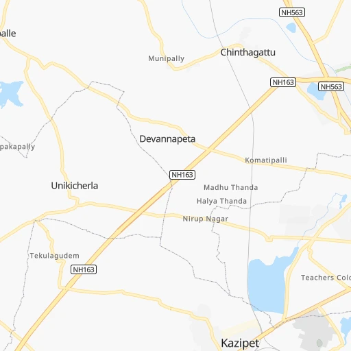
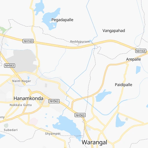
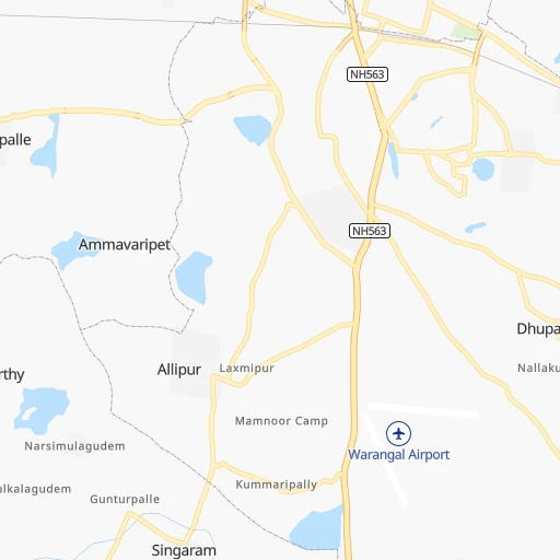
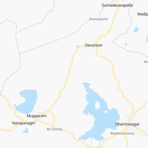
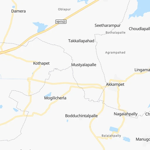
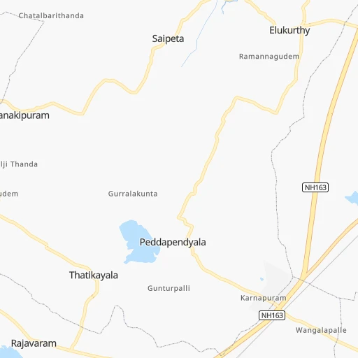
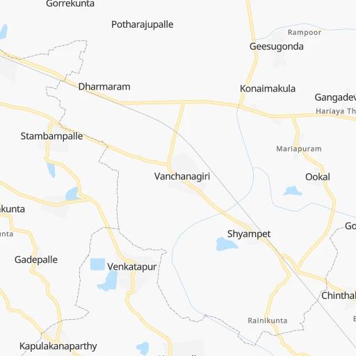
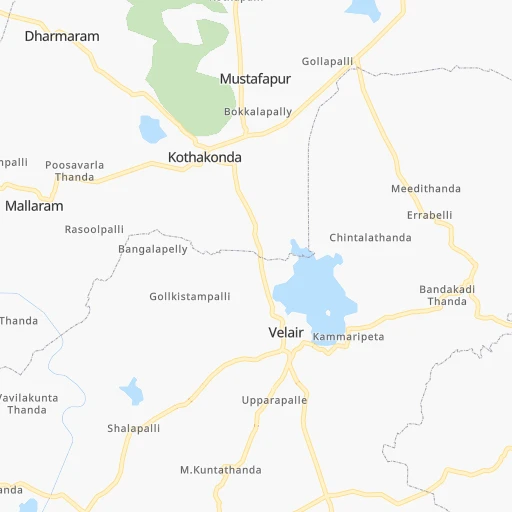
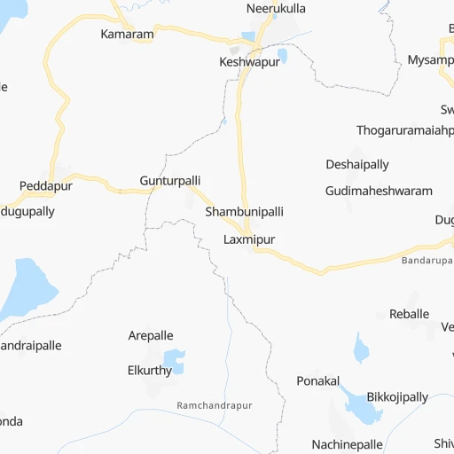
Roadmap (route) to go from Kazipet E Cabin to Guntur detailed above, you can also see the course layout on the map.
While doing trip Kazipet E Cabin - Guntur by car, the calculated route ends at a distance , or more straight.
Distance and duration of the route between Kazipet E Cabin and Guntur
Calculation of distance and route from Guntur to Kazipet E Cabin :
209.1262.3 km4h60mn
Continue 0h4mn 1.8 kmTurn left 0h1mn 536 mTurn right onto Warangal Bypass 0h1mn 705 mAt roundabout, take exit 1 onto Warangal Bypass 0h4mn 3.5 kmAt roundabout, take exit 3 onto NH563 0h0mn 93 mTurn left onto NH563 2h35mn 110.3 kmAt roundabout, take exit 3 0h1mn 881 mTurn slight left 0h1mn 869 mAt roundabout, take exit 2 0h0mn 132 mTurn right 0h0mn 54 mKeep left 0h1mn 308 mTurn right onto PSR road 0h0mn 17 mTurn left 0h0mn 231 mTurn right 0h0mn 127 mAt roundabout, take exit 1 0h0mn 85 mTurn right 0h0mn 75 mTurn left onto Burma Shell Road 0h0mn 137 mTurn right onto Kaman Bazaar 0h1mn 282 mContinue 0h0mn 107 mTurn right onto Church Road 0h0mn 406 mTurn slight left onto bank colony 0h0mn 16 mKeep right 0h1mn 834 mTurn slight right onto Bonakal Road 0h3mn 2.9 kmTurn left onto Bonakal Road 0h0mn 21 mTurn left onto Bonakal Road 0h25mn 25.1 kmTurn right 0h1mn 360 mContinue onto Jaggayyapeta - Wyra Road 0h5mn 5.3 kmTurn left onto Vatsavai - Penuganchiprolu Road 0h5mn 5.0 kmContinue 0h2mn 1.3 kmTurn sharp right onto Vatsavai - Penuganchiprolu Road 0h3mn 3.4 kmTurn sharp right onto Vatsavai - Penuganchiprolu Road 0h1mn 1.0 kmContinue onto Penuganchiprolu Road 0h7mn 8.0 kmTurn left onto NH65 0h6mn 6.5 kmKeep left 0h5mn 5.5 kmTurn left onto NH65 0h11mn 11.9 kmKeep left 0h1mn 795 mKeep left 0h1mn 789 mKeep right onto Chevitikallu - Vatsavai Road 0h0mn 397 mContinue onto Kanchikacherla Road 0h16mn 18.3 kmAt roundabout, take exit 2 onto NH65 0h10mn 11.5 kmTurn left 0h2mn 1.9 kmTurn right onto brahmin street 0h0mn 23 mTurn left 0h0mn 156 mTurn right onto Durga Temple Road 0h0mn 154 mKeep left onto Durga Temple Road 0h0mn 15 mTurn left 0h2mn 2.1 kmKeep right 0h10mn 10.8 kmTurn right 0h0mn 461 mKeep right 0h8mn 8.9 kmKeep left 0h3mn 3.4 kmTurn right 0h4mn 4.5 kmTurn sharp left 0h0mn 164 mTurn left 0h0mn 26 mTurn right 0h0mn 54 mArrive at destination 0h0mn 0 m
Travel from Kazipet E Cabin (Andhra Pradesh) to a selection of major cities.
Distances from Kazipet E Cabin to biggest cities in Telangana
- Nirmal,80,982 inhabitants.179 km
- Kottagudem,79,247 inhabitants.122 km
- Mancheral,77,998 inhabitants.101 km
- Paloncha,75,224 inhabitants.128 km
- Bodhan,73,938 inhabitants.193 km
- Sirsilla,71,499 inhabitants.92 km
- Kamareddi,71,042 inhabitants.135 km
- Palwancha,68,561 inhabitants.126 km
- Bellampalli,66,660 inhabitants.120 km
- Mandamarri,66,176 inhabitants.111 km
- Siddipet,64,562 inhabitants.77 km
- Tandur,63,239 inhabitants.226 km
- Koratla,60,231 inhabitants.130 km
- Sangareddi,59,199 inhabitants.161 km
- Kodar,59,170 inhabitants.117 km
- Gadwal,55,952 inhabitants.270 km
- Wanparti,55,182 inhabitants.239 km
- Gaddi Annaram,53,622 inhabitants.129 km
- Bhongir,50,094 inhabitants.88 km
- Jangaon,47,558 inhabitants.51 km
Other major cities in country :
- Gorakhpur [10], 1,324,570 inhabitants. 1,337 km
- Nashik [16], 1,289,497 inhabitants. 648 km
- Pimpri [16], 1,284,606 inhabitants. 612 km
- Kalyan [16], 1,262,255 inhabitants. 692 km
- Thane [16], 1,261,517 inhabitants. 709 km
- Meerut [36], 1,223,184 inhabitants. 1,239 km
- Nowrangapur [21], 1,220,946 inhabitants. 345 km
- Faridabad [10], 1,220,229 inhabitants. 1,184 km
- Ghaziabad [36], 1,199,191 inhabitants. 1,209 km
- Dombivli [16], 1,193,000 inhabitants. 697 km
- Rajkot [09], 1,177,362 inhabitants. 1,034 km
- Varanasi [36], 1,164,404 inhabitants. 892 km
- Amritsar [23], 1,092,450 inhabitants. 1,591 km
- Allahabad [36], 1,073,438 inhabitants. 864 km
- Visakhapatnam [02], 1,063,178 inhabitants. 387 km
- Teni [25], 1,034,724 inhabitants. 915 km
- Jabalpur [35], 1,030,168 inhabitants. 579 km
- Haora [28], 1,027,672 inhabitants. 1,048 km
- Aurangabad [16], 1,016,441 inhabitants. 492 km
- Shivaji Nagar [16], 1,000,000 inhabitants. 607 km
Route from Guntur to major cities (India).
- Distance Guntur Mumbai860 km
- Distance Guntur Delhi1,414 km
- Distance Guntur Bengaluru482 km
- Distance Guntur Kolkata1,083 km
- Distance Guntur Chennai358 km
- Distance Guntur Ahmedabad1,114 km
- Distance Guntur Hyderabad245 km
- Distance Guntur Pune743 km
- Distance Guntur Surat971 km
- Distance Guntur Kanpur1,132 km
- Distance Guntur Jaipur1,277 km
- Distance Guntur Navi Mumbai846 km
- Distance Guntur Lucknow1,174 km
- Distance Guntur Nagpur559 km
- Distance Guntur Indore863 km
- Distance Guntur Patna1,143 km
- Distance Guntur Bhopal838 km
- Distance Guntur Ludhiana1,692 km
- Distance Guntur Tirunelveli895 km
- Distance Guntur Agra1,237 km
Nearest cities to Kazipet E Cabin :
- Hyderabad, 3,597,816 inhabitants. 134 km
- Nowrangapur, 1,220,946 inhabitants. 345 km
- Vijayawada, 874,587 inhabitants. 200 km
- Amravati, 603,837 inhabitants. 380 km
- Warangal, 557,802 inhabitants. 4 km
- Nanded, 550,564 inhabitants. 271 km
- Guntur, 530,577 inhabitants. 210 km
- Gulbarga, 483,615 inhabitants. 298 km
- Kurnool, 460,184 inhabitants. 289 km
- Ramgundam, 452,261 inhabitants. 93 km
- Akola, 428,857 inhabitants. 406 km
- Latur, 348,967 inhabitants. 320 km
- Kukatpalli, 341,709 inhabitants. 133 km
- Bellary, 336,681 inhabitants. 423 km
- Chanda, 328,351 inhabitants. 222 km
- Nizamabad, 305,438 inhabitants. 173 km
- Rajahmundry, 304,804 inhabitants. 259 km
- Kakinada, 292,923 inhabitants. 306 km
- Parbhani, 289,629 inhabitants. 328 km
- Lal Bahadur Nagar, 261,987 inhabitants. 127 km
- Ramagundam, 235,000 inhabitants. 87 km
- Karimnagar, 228,745 inhabitants. 69 km
- Raichur, 225,962 inhabitants. 306 km
- Quthbullapur, 225,816 inhabitants. 128 km
- Secunderabad, 204,182 inhabitants. 120 km
- Bidar, 204,071 inhabitants. 215 km
- Machilipatnam, 192,827 inhabitants. 260 km
- Ellore, 183,387 inhabitants. 216 km
- Ongole, 172,872 inhabitants. 280 km
- Khammam, 170,503 inhabitants. 102 km
- Nandyal, 165,337 inhabitants. 301 km
- Adoni, 163,631 inhabitants. 357 km
- Serilingampalle, 150,525 inhabitants. 144 km
- Malkajgiri, 150,000 inhabitants. 124 km
- Bhimavaram, 142,967 inhabitants. 263 km
- Mahbubnagar, 136,135 inhabitants. 216 km
- Yavatmal, 128,175 inhabitants. 308 km
- Nalgonda, 121,826 inhabitants. 107 km
- Guntakal Junction, 120,964 inhabitants. 391 km
- Adilabad, 118,526 inhabitants. 218 km
- Uppal Kalan, 118,259 inhabitants. 124 km
- Gudivada, 116,161 inhabitants. 229 km
- Wardha, 113,759 inhabitants. 324 km
- Suriapet, 111,729 inhabitants. 93 km
- Tadepallegudem, 108,167 inhabitants. 246 km
- Mirialguda, 101,234 inhabitants. 123 km
- Udgir, 101,064 inhabitants. 263 km
- Jagtial, 99,035 inhabitants. 114 km
- Hinganghat, 97,568 inhabitants. 296 km
- Narasaraopet, 97,194 inhabitants. 201 km
Location Kazipet E Cabin (Telangana) :
| Country flag |  |
| Location | Kazipet E Cabin |
| State | Telangana |
| County | Warangal |
| Country | India |
| Country code / ISO 2 | IN |
| Latitude | 17.9757000 |
| Longitude | 79.5611800 |
| Altitude | 0 meters |
| Time zone | Asia/Kolkata |
Location Guntur (Andhra Pradesh) :
| Country flag | |
| Location | Guntur |
| State | Andhra Pradesh |
| County | Guntūr |
| Country | India |
| Country code / ISO 2 | IN |
| Latitude | 16.2997400 |
| Longitude | 80.4572900 |
| Altitude | 0 meters |
| Time zone | Asia/Kolkata |


