

How to get from Babina (Uttar Pradesh) to Fyzābād (Uttar Pradesh)
Calculate route from Babina (Uttar Pradesh, India) to Fyzābād (Uttar Pradesh, India).
The flight distance (as the crow flies) between Babina and Fyzābād is 406.9 km.
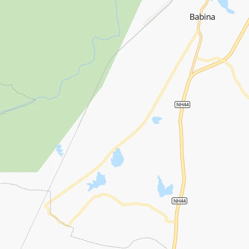
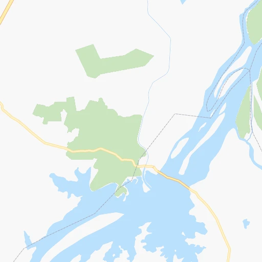
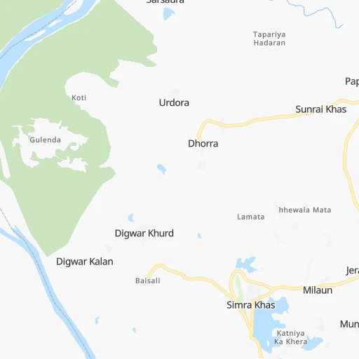
Roadmap (route) to go from Babina to Fyzābād detailed above, you can also see the course layout on the map.
While doing trip Babina - Fyzābād by car, the calculated route ends at a distance , or more straight.
Distance and duration of the route between Babina and Fyzābād
Calculation of distance and route from Fyzābād to Babina :
406.9460.9 km7h48mn
Continue 0h0mn 177 mKeep right 0h3mn 1.5 kmTurn left 0h0mn 199 mTurn left 0h14mn 15.6 kmTurn left 0h1mn 380 mTurn right 0h2mn 766 mTurn right 0h0mn 140 mTurn right 0h1mn 514 mTurn left 0h8mn 9.0 kmTurn slight left 0h0mn 336 mAt roundabout, take exit 3 0h0mn 347 mAt roundabout, take exit 2 0h5mn 5.6 kmTurn right onto NH27 0h19mn 21.8 kmTurn left onto NH552 0h0mn 44 mTurn left onto NH552 0h1mn 1.3 kmContinue 0h1mn 951 mTurn slight left 0h3mn 3.1 kmKeep left 0h15mn 17.1 kmTurn left 0h5mn 5.2 kmTurn left onto NH27 2h13mn 155.3 kmKeep left 0h0mn 348 mKeep left 0h8mn 7.7 kmAt roundabout, take exit 2 0h3mn 2.9 kmTurn right onto NH34 0h0mn 12 mKeep left 0h3mn 2.8 kmAt roundabout, take exit 3 onto SH58 0h1mn 1.5 kmTurn right onto Canning Road 0h0mn 216 mKeep left 0h1mn 633 mAt roundabout, take exit 1 onto Larmour Bagh 0h1mn 556 mKeep right 0h0mn 69 mTurn slight left 0h0mn 13 mTurn slight left 0h1mn 1.3 kmTurn right onto SH58 0h11mn 12.5 kmKeep left onto SH58 0h1mn 1.0 kmTurn left onto SH58 0h2mn 2.1 kmKeep left 1h44mn 51.5 kmAt roundabout, take exit 2 onto Kanpur-Lucknow Road 0h1mn 1.3 kmAt roundabout, take exit 2 onto Kanpur-Lucknow Road 0h2mn 1.8 kmAt roundabout, take exit 3 onto Kanpur-Lucknow Road 0h3mn 3.5 kmAt roundabout, take exit 2 onto Ashok Marg 0h1mn 1.4 kmAt roundabout, take exit 2 onto Ashok Marg 0h1mn 1.1 kmKeep left onto Ashok Marg 0h2mn 2.1 kmTurn sharp right 0h0mn 217 mKeep left 0h0mn 62 mTurn left onto Faizabad Road 0h3mn 3.8 kmAt roundabout, take exit 2 onto Faizabad Road 0h11mn 13.2 kmKeep left onto National Highway 28 0h6mn 6.7 kmKeep left 0h5mn 5.4 kmKeep left onto NH927 1h17mn 90.1 kmTurn left 0h0mn 11 mTurn right 0h3mn 3.5 kmTurn right 0h0mn 267 mAt roundabout, take exit 2 0h1mn 992 mTurn left onto Fatehganj - Chowk - Naka road 0h0mn 270 mTurn sharp right 0h0mn 150 mTurn left 0h0mn 128 mTurn right 0h0mn 99 mTurn sharp right 0h0mn 62 mTurn right 0h0mn 28 mArrive at destination 0h0mn 0 m
Travel from Babina (Uttar Pradesh) to a selection of major cities.
Distances from Babina to biggest cities in Uttar Pradesh
- Etawah,257,448 inhabitants.180 km
- Mau,246,050 inhabitants.519 km
- Hapur,242,920 inhabitants.394 km
- Farrukhabad,241,152 inhabitants.265 km
- Mirzapur,220,029 inhabitants.414 km
- Bulandshahr,198,612 inhabitants.357 km
- Sambhal,196,109 inhabitants.373 km
- Raebareli,186,433 inhabitants.300 km
- Bahraigh,182,218 inhabitants.407 km
- Amroha,176,253 inhabitants.408 km
- Jaunpur,169,572 inhabitants.429 km
- Fatehpur,166,480 inhabitants.249 km
- Loni,164,810 inhabitants.408 km
- Sitapur,164,435 inhabitants.341 km
- Unnao,161,671 inhabitants.251 km
- Budaun,161,555 inhabitants.319 km
- Orai,158,265 inhabitants.131 km
- Fyzabad,153,047 inhabitants.408 km
- Banda,152,218 inhabitants.191 km
- Lakhimpur,140,223 inhabitants.380 km
Other major cities in country :
- Pimpri [16], 1,284,606 inhabitants. 879 km
- Kalyan [16], 1,262,255 inhabitants. 863 km
- Thane [16], 1,261,517 inhabitants. 878 km
- Nowrangapur [21], 1,220,946 inhabitants. 791 km
- Faridabad [10], 1,220,229 inhabitants. 371 km
- Dombivli [16], 1,193,000 inhabitants. 869 km
- Rajkot [09], 1,177,362 inhabitants. 846 km
- Amritsar [23], 1,092,450 inhabitants. 792 km
- Visakhapatnam [02], 1,063,178 inhabitants. 974 km
- Teni [25], 1,034,724 inhabitants. 1,698 km
- Jabalpur [35], 1,030,168 inhabitants. 276 km
- Haora [28], 1,027,672 inhabitants. 1,047 km
- Aurangabad [16], 1,016,441 inhabitants. 677 km
- Shivaji Nagar [16], 1,000,000 inhabitants. 885 km
- Solapur [16], 997,281 inhabitants. 882 km
- Srinagar [12], 975,857 inhabitants. 1,046 km
- Chandigarh [05], 960,787 inhabitants. 634 km
- Coimbatore [25], 959,823 inhabitants. 1,592 km
- Jodhpur [24], 921,476 inhabitants. 558 km
- Madurai [25], 909,908 inhabitants. 1,706 km
Route from Fyzābād to major cities (India).
- Distance Fyzābād Mumbai1,279 km
- Distance Fyzābād Delhi528 km
- Distance Fyzābād Bengaluru1,608 km
- Distance Fyzābād Kolkata784 km
- Distance Fyzābād Chennai1,536 km
- Distance Fyzābād Ahmedabad1,051 km
- Distance Fyzābād Hyderabad1,113 km
- Distance Fyzābād Pune1,252 km
- Distance Fyzābād Surat1,133 km
- Distance Fyzābād Jaipur632 km
- Distance Fyzābād Navi Mumbai1,272 km
- Distance Fyzābād Nagpur700 km
- Distance Fyzābād Indore782 km
- Distance Fyzābād Patna326 km
- Distance Fyzābād Bhopal619 km
- Distance Fyzābād Ludhiana767 km
- Distance Fyzābād Tirunelveli2,064 km
- Distance Fyzābād Vadodara1,033 km
- Distance Fyzābād Gorakhpur702 km
- Distance Fyzābād Nashik1,139 km
Nearest cities to Babina :
- Kanpur, 2,823,249 inhabitants. 234 km
- Jaipur, 2,711,758 inhabitants. 326 km
- Lucknow, 2,472,011 inhabitants. 305 km
- Indore, 1,837,041 inhabitants. 387 km
- Bhopal, 1,599,914 inhabitants. 245 km
- Agra, 1,430,055 inhabitants. 221 km
- Jabalpur, 1,030,168 inhabitants. 276 km
- Gwalior, 882,458 inhabitants. 114 km
- Kota, 763,088 inhabitants. 263 km
- Aligarh, 753,207 inhabitants. 297 km
- Ujjain, 457,346 inhabitants. 355 km
- Jhansi, 412,927 inhabitants. 28 km
- Mathura, 330,511 inhabitants. 264 km
- Shahjanpur, 320,434 inhabitants. 328 km
- Firozabad, 306,409 inhabitants. 213 km
- Alwar, 283,228 inhabitants. 316 km
- Dewas, 261,218 inhabitants. 351 km
- Satna, 257,778 inhabitants. 251 km
- Etawah, 257,448 inhabitants. 180 km
- Saugor, 247,333 inhabitants. 158 km
- Farrukhabad, 241,152 inhabitants. 265 km
- Bharatpur, 229,384 inhabitants. 240 km
- Rewa, 208,461 inhabitants. 297 km
- Murwara, 195,856 inhabitants. 251 km
- Raebareli, 186,433 inhabitants. 300 km
- Bhind, 174,035 inhabitants. 152 km
- Fatehpur, 166,480 inhabitants. 249 km
- Sitapur, 164,435 inhabitants. 341 km
- Shivpuri, 164,215 inhabitants. 82 km
- Unnao, 161,671 inhabitants. 251 km
- Budaun, 161,555 inhabitants. 319 km
- Orai, 158,265 inhabitants. 131 km
- Guna, 153,689 inhabitants. 133 km
- Banda, 152,218 inhabitants. 191 km
- Morena, 152,004 inhabitants. 148 km
- Tonk, 151,331 inhabitants. 286 km
- Lakhimpur, 140,223 inhabitants. 380 km
- Vidisha, 140,045 inhabitants. 201 km
- Hathras, 126,882 inhabitants. 265 km
- Lalitpur, 126,475 inhabitants. 61 km
- Hardoi, 122,635 inhabitants. 293 km
- Palwal, 121,965 inhabitants. 342 km
- Gangapur, 120,115 inhabitants. 222 km
- Damoh, 118,776 inhabitants. 186 km
- Rewari, 112,079 inhabitants. 377 km
- Chhatarpur, 111,594 inhabitants. 120 km
- Hoshangabad, 109,358 inhabitants. 287 km
- Sawai Madhopur, 108,612 inhabitants. 229 km
- Dhaulpur, 102,462 inhabitants. 172 km
- Itarsi, 100,574 inhabitants. 300 km
Location Babina (Uttar Pradesh) :
| Country flag |  |
| Location | Babina |
| State | Uttar Pradesh |
| County | Jhānsi |
| Country | India |
| Country code / ISO 2 | IN |
| Latitude | 25.2378300 |
| Longitude | 78.4517500 |
| Altitude | 0 meters |
| Time zone | Asia/Kolkata |
Location Fyzābād (Uttar Pradesh) :
| Country flag | |
| Location | Fyzābād |
| State | Uttar Pradesh |
| County | Faizābād |
| Country | India |
| Country code / ISO 2 | IN |
| Latitude | 26.7754900 |
| Longitude | 82.1501800 |
| Altitude | 0 meters |
| Time zone | Asia/Kolkata |


