
How to get from Komatipalli (Telangana) to Udgīr (Maharashtra)
Calculate route from Komatipalli (Telangana, India) to Udgīr (Maharashtra, India).
The flight distance (as the crow flies) between Komatipalli and Udgīr is 256.5 km.
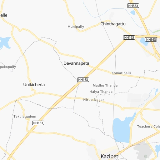
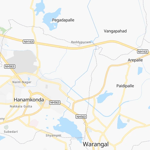
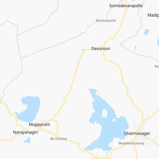
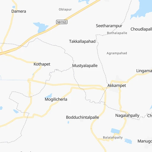
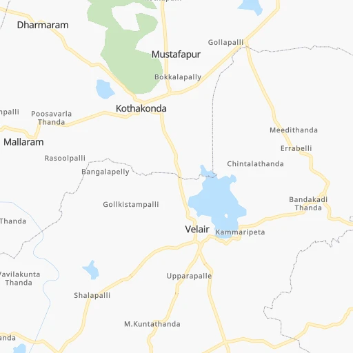
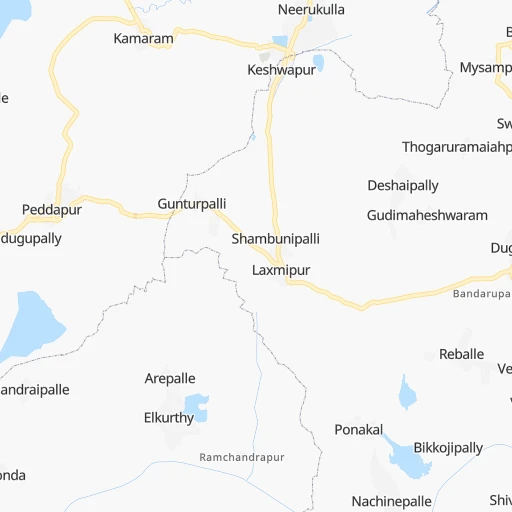
Roadmap (route) to go from Komatipalli to Udgīr detailed above, you can also see the course layout on the map.
While doing trip Komatipalli - Udgīr by car, the calculated route ends at a distance , or more straight.
Distance and duration of the route between Komatipalli and Udgīr
Calculation of distance and route from Udgīr to Komatipalli :
256.5292.5 km5h34mn
Continue 0h0mn 23 mTurn left onto towards komatipally 0h3mn 2.2 kmTurn right 0h3mn 1.7 kmTurn left onto Bheemaram-Chinthagattu Rd 0h4mn 3.6 kmTurn right 0h2mn 2.0 kmTurn right 0h1mn 319 mTurn right 0h3mn 2.4 kmTurn left onto NH563 0h1mn 1.5 kmKeep left onto NH765DG 1h55mn 64.3 kmAt roundabout, take exit 2 onto NH765DG 0h1mn 787 mAt roundabout, take exit 2 onto NH365B 0h2mn 2.0 kmAt roundabout, take exit 2 onto SIDDIPET INNER RING ROAD 0h3mn 3.4 kmAt roundabout, take exit 1 onto NH765DG 0h20mn 23.7 kmKeep left onto NH765DG 0h16mn 18.1 kmTurn left 0h0mn 364 mTurn left 0h1mn 819 mTurn left onto NH765DG 0h15mn 17.5 kmKeep right 0h3mn 2.9 kmKeep right 0h0mn 54 mContinue onto NH765D 1h36mn 42.5 kmKeep left onto Jukkal Kallakal Road 0h10mn 10.5 kmTurn right onto NH161 0h3mn 3.8 kmKeep left 0h2mn 1.4 kmTurn left 0h1mn 363 mTurn left 0h2mn 1.6 kmKeep right 0h5mn 4.2 kmTurn sharp left 0h22mn 18.7 kmTurn right 0h11mn 9.4 kmTurn slight right onto SH122 0h12mn 13.7 kmTurn right onto NH161A 0h0mn 57 mTurn left onto NH161A 0h6mn 6.8 kmTurn left onto SH122 0h23mn 25.5 kmTurn right onto SH122 0h0mn 298 mTurn right onto SH122 0h4mn 4.6 kmKeep right 0h1mn 786 mTurn left 0h1mn 462 mTurn left 0h0mn 8 mTurn right 0h0mn 33 mTurn left 0h0mn 128 mArrive at destination 0h0mn 0 m
Travel from Komatipalli (Maharashtra) to a selection of major cities.
Distances from Komatipalli to biggest cities in Telangana
- Nirmal,80,982 inhabitants.172 km
- Kottagudem,79,247 inhabitants.128 km
- Mancheral,77,998 inhabitants.95 km
- Paloncha,75,224 inhabitants.134 km
- Bodhan,73,938 inhabitants.186 km
- Sirsilla,71,499 inhabitants.85 km
- Kamareddi,71,042 inhabitants.128 km
- Palwancha,68,561 inhabitants.132 km
- Bellampalli,66,660 inhabitants.115 km
- Mandamarri,66,176 inhabitants.105 km
- Siddipet,64,562 inhabitants.71 km
- Tandur,63,239 inhabitants.223 km
- Koratla,60,231 inhabitants.123 km
- Sangareddi,59,199 inhabitants.158 km
- Kodar,59,170 inhabitants.124 km
- Gadwal,55,952 inhabitants.270 km
- Wanparti,55,182 inhabitants.240 km
- Gaddi Annaram,53,622 inhabitants.128 km
- Bhongir,50,094 inhabitants.88 km
- Jangaon,47,558 inhabitants.51 km
Other major cities in country :
- Gorakhpur [10], 1,324,570 inhabitants. 1,330 km
- Nashik [16], 1,289,497 inhabitants. 641 km
- Pimpri [16], 1,284,606 inhabitants. 607 km
- Kalyan [16], 1,262,255 inhabitants. 687 km
- Thane [16], 1,261,517 inhabitants. 703 km
- Meerut [36], 1,223,184 inhabitants. 1,234 km
- Nowrangapur [21], 1,220,946 inhabitants. 347 km
- Faridabad [10], 1,220,229 inhabitants. 1,178 km
- Ghaziabad [36], 1,199,191 inhabitants. 1,203 km
- Dombivli [16], 1,193,000 inhabitants. 691 km
- Rajkot [09], 1,177,362 inhabitants. 1,028 km
- Varanasi [36], 1,164,404 inhabitants. 889 km
- Amritsar [23], 1,092,450 inhabitants. 1,584 km
- Allahabad [36], 1,073,438 inhabitants. 860 km
- Visakhapatnam [02], 1,063,178 inhabitants. 392 km
- Teni [25], 1,034,724 inhabitants. 919 km
- Jabalpur [35], 1,030,168 inhabitants. 574 km
- Haora [28], 1,027,672 inhabitants. 1,049 km
- Aurangabad [16], 1,016,441 inhabitants. 485 km
- Shivaji Nagar [16], 1,000,000 inhabitants. 601 km
Route from Udgīr to major cities (India).
- Distance Udgīr Delhi1,142 km
- Distance Udgīr Bengaluru606 km
- Distance Udgīr Kolkata1,261 km
- Distance Udgīr Chennai681 km
- Distance Udgīr Ahmedabad699 km
- Distance Udgīr Hyderabad181 km
- Distance Udgīr Surat547 km
- Distance Udgīr Kanpur958 km
- Distance Udgīr Jaipur959 km
- Distance Udgīr Lucknow1,018 km
- Distance Udgīr Indore500 km
- Distance Udgīr Patna1,152 km
- Distance Udgīr Bhopal542 km
- Distance Udgīr Ludhiana1,399 km
- Distance Udgīr Tirunelveli1,078 km
- Distance Udgīr Agra983 km
- Distance Udgīr Vadodara596 km
- Distance Udgīr Gorakhpur1,239 km
- Distance Udgīr Meerut1,180 km
- Distance Udgīr Nowrangapur580 km
Nearest cities to Komatipalli :
- Hyderabad, 3,597,816 inhabitants. 133 km
- Vijayawada, 874,587 inhabitants. 207 km
- Amravati, 603,837 inhabitants. 373 km
- Warangal, 557,802 inhabitants. 8 km
- Nanded, 550,564 inhabitants. 264 km
- Guntur, 530,577 inhabitants. 216 km
- Gulbarga, 483,615 inhabitants. 294 km
- Kurnool, 460,184 inhabitants. 291 km
- Ramgundam, 452,261 inhabitants. 87 km
- Akola, 428,857 inhabitants. 399 km
- Latur, 348,967 inhabitants. 314 km
- Kukatpalli, 341,709 inhabitants. 131 km
- Bellary, 336,681 inhabitants. 423 km
- Chanda, 328,351 inhabitants. 216 km
- Nizamabad, 305,438 inhabitants. 166 km
- Rajahmundry, 304,804 inhabitants. 266 km
- Kakinada, 292,923 inhabitants. 312 km
- Parbhani, 289,629 inhabitants. 321 km
- Lal Bahadur Nagar, 261,987 inhabitants. 126 km
- Ramagundam, 235,000 inhabitants. 82 km
- Karimnagar, 228,745 inhabitants. 62 km
- Raichur, 225,962 inhabitants. 306 km
- Quthbullapur, 225,816 inhabitants. 126 km
- Secunderabad, 204,182 inhabitants. 118 km
- Bidar, 204,071 inhabitants. 211 km
- Machilipatnam, 192,827 inhabitants. 268 km
- Ellore, 183,387 inhabitants. 223 km
- Ongole, 172,872 inhabitants. 286 km
- Khammam, 170,503 inhabitants. 109 km
- Nandyal, 165,337 inhabitants. 304 km
- Adoni, 163,631 inhabitants. 358 km
- Serilingampalle, 150,525 inhabitants. 142 km
- Malkajgiri, 150,000 inhabitants. 123 km
- Bhimavaram, 142,967 inhabitants. 270 km
- Mahbubnagar, 136,135 inhabitants. 216 km
- Yavatmal, 128,175 inhabitants. 301 km
- Nalgonda, 121,826 inhabitants. 111 km
- Guntakal Junction, 120,964 inhabitants. 392 km
- Adilabad, 118,526 inhabitants. 211 km
- Uppal Kalan, 118,259 inhabitants. 123 km
- Gudivada, 116,161 inhabitants. 237 km
- Wardha, 113,759 inhabitants. 317 km
- Suriapet, 111,729 inhabitants. 99 km
- Tadepallegudem, 108,167 inhabitants. 252 km
- Gangawati, 106,250 inhabitants. 430 km
- Mirialguda, 101,234 inhabitants. 128 km
- Udgir, 101,064 inhabitants. 257 km
- Jagtial, 99,035 inhabitants. 107 km
- Hinganghat, 97,568 inhabitants. 290 km
- Narasaraopet, 97,194 inhabitants. 207 km
Location Komatipalli (Telangana) :
| Country flag |  |
| Location | Komatipalli |
| State | Telangana |
| County | Warangal |
| Country | India |
| Country code / ISO 2 | IN |
| Latitude | 18.0235500 |
| Longitude | 79.5158900 |
| Altitude | 0 meters |
| Time zone | Asia/Kolkata |
Location Udgīr (Maharashtra) :
| Country flag | |
| Location | Udgīr |
| State | Maharashtra |
| County | Latur |
| Country | India |
| Country code / ISO 2 | IN |
| Latitude | 18.3925800 |
| Longitude | 77.1175600 |
| Altitude | 0 meters |
| Time zone | Asia/Kolkata |