
Home
››
Colorado Southern Railroad Depot (historical)
››
Roadmap from Colorado Southern Railroad Depot (historical) to Alvin
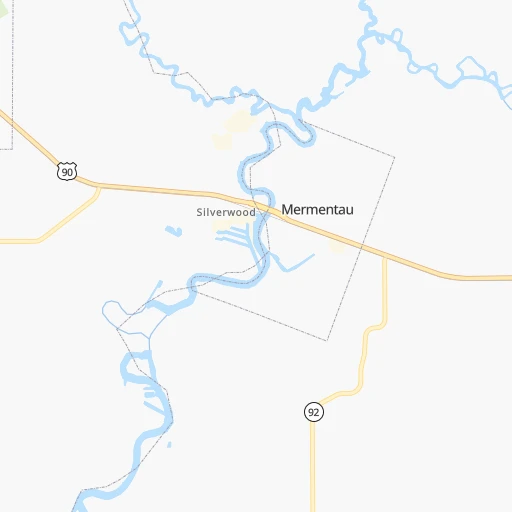
How to get from Colorado Southern Railroad Depot (historical) (Louisiana) to Alvin (Texas)
Calculate route from Colorado Southern Railroad Depot (historical) (Louisiana, United States) to Alvin (Texas, United States).
The flight distance (as the crow flies) between Colorado Southern Railroad Depot (historical) and Alvin is 290.5 km.
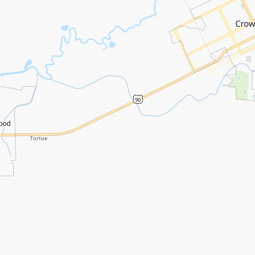
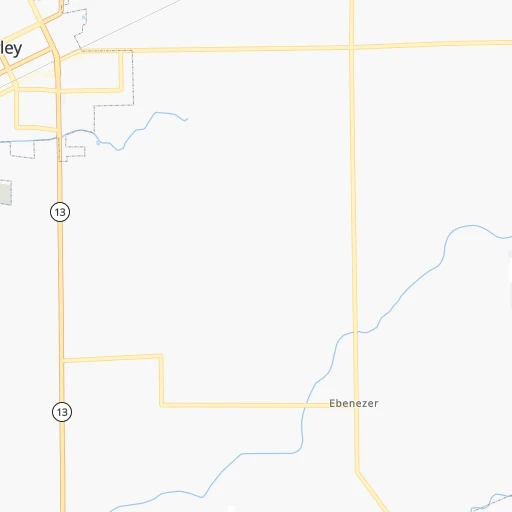
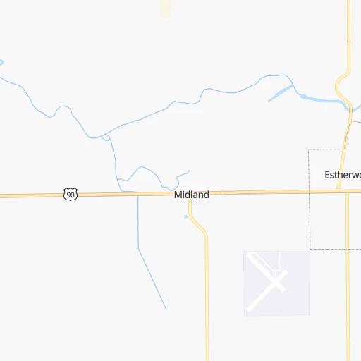
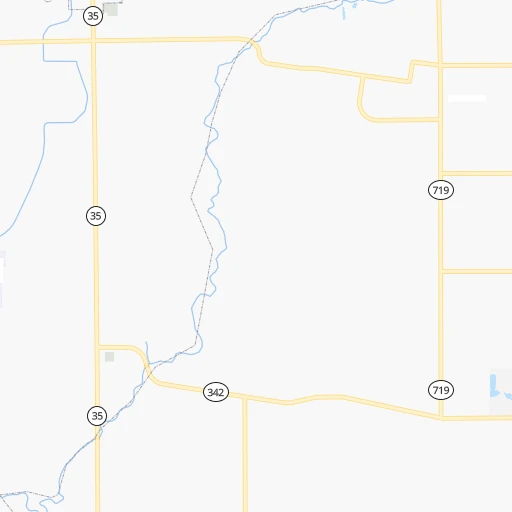
Roadmap (route) to go from Colorado Southern Railroad Depot (historical) to Alvin detailed above, you can also see the course layout on the map.
While doing trip Colorado Southern Railroad Depot (historical) - Alvin by car, the calculated route ends at a distance , or more straight.
Distance and duration of the route between Colorado Southern Railroad Depot (historical) and Alvin
Calculation of distance and route from Alvin to Colorado Southern Railroad Depot (historical) :
290.5327.1 km4h40mn
Continue onto East Front Street 0h0mn 87 mTurn right onto North Parkerson Avenue 0h1mn 570 mTurn right onto Northeast Court Circle 0h0mn 188 mTurn right onto North Parkerson Avenue 0h3mn 2.6 kmTurn left 3h32mn 253.1 kmKeep right and take FM 565 toward Cove, Old River-Winfree 0h0mn 477 mTurn left onto Farm-to-Market Road 565 0h12mn 13.0 kmTurn left onto North Highway 146 0h3mn 3.1 kmKeep left onto North Robert C Lanier Freeway toward TX 146 South 0h14mn 20.6 kmKeep right and drive toward Shore Acres Boulevard, Choate Road 0h0mn 433 mKeep right and drive toward Choate Road 0h0mn 46 mTurn right onto Choate Road 0h1mn 571 mContinue onto Choate Road 0h1mn 337 mTurn left onto Bay Area Boulevard 0h13mn 12.7 kmContinue onto West Bay Area Boulevard 0h0mn 137 mContinue onto West Bay Area Boulevard 0h0mn 237 mContinue onto West Bay Area Boulevard 0h4mn 4.4 kmTurn right onto FM 528 0h11mn 11.8 kmTurn slight right onto Friendswood Road 0h1mn 902 mTurn left onto North Gordon Street 0h2mn 1.9 kmTurn right onto West Sealy Street 0h0mn 3 mArrive at destination 0h0mn 0 m
Travel from Colorado Southern Railroad Depot (historical) (Texas) to a selection of major cities.
Distances from Colorado Southern Railroad Depot (historical) to biggest cities in Louisiana
Other major cities in country :
- Charlotte [NC], 827,097 inhabitants. 1,214 km
- Seattle [WA], 684,451 inhabitants. 3,205 km
- Denver [CO], 682,545 inhabitants. 1,562 km
- El Paso [TX], 681,124 inhabitants. 1,357 km
- Detroit [MI], 677,116 inhabitants. 1,585 km
- Boston [MA], 667,137 inhabitants. 2,331 km
- Memphis [TN], 655,770 inhabitants. 591 km
- New South Memphis [TN], 641,608 inhabitants. 585 km
- Portland [OR], 632,309 inhabitants. 3,133 km
- Oklahoma City [OK], 631,346 inhabitants. 758 km
- Las Vegas [NV], 623,747 inhabitants. 2,216 km
- Baltimore [MD], 621,849 inhabitants. 1,756 km
- Washington, D.C. [DC], 601,723 inhabitants. 1,702 km
- Milwaukee [WI], 600,155 inhabitants. 1,482 km
- South Boston [MA], 571,281 inhabitants. 2,331 km
- Albuquerque [NM], 559,121 inhabitants. 1,443 km
- Tucson [AZ], 531,641 inhabitants. 1,778 km
- Nashville [TN], 530,852 inhabitants. 842 km
- Fresno [CA], 520,052 inhabitants. 2,636 km
- Sacramento [CA], 490,712 inhabitants. 2,819 km
Route from Alvin to major cities (United States).
- Distance Alvin New York City2,298 km
- Distance Alvin Los Angeles2,232 km
- Distance Alvin Chicago1,543 km
- Distance Alvin Brooklyn2,299 km
- Distance Alvin Queens2,309 km
- Distance Alvin Philadelphia2,172 km
- Distance Alvin Phoenix1,658 km
- Distance Alvin Manhattan2,304 km
- Distance Alvin San Diego2,118 km
- Distance Alvin The Bronx2,315 km
- Distance Alvin San Jose2,619 km
- Distance Alvin Jacksonville1,315 km
- Distance Alvin San Francisco2,674 km
- Distance Alvin Columbus1,619 km
- Distance Alvin Indianapolis1,419 km
- Distance Alvin Charlotte1,499 km
- Distance Alvin Seattle3,080 km
- Distance Alvin Denver1,452 km
- Distance Alvin Detroit1,806 km
- Distance Alvin Boston2,599 km
Nearest cities to Colorado Southern Railroad Depot (historical) :
- Houston, 2,296,224 inhabitants. 293 km
- New Orleans, 389,617 inhabitants. 223 km
- Baton Rouge, 228,590 inhabitants. 120 km
- Shreveport, 197,204 inhabitants. 289 km
- Jackson, 170,674 inhabitants. 312 km
- Pasadena, 153,784 inhabitants. 280 km
- Metairie Terrace, 142,489 inhabitants. 214 km
- Metairie, 138,481 inhabitants. 215 km
- Lafayette, 127,657 inhabitants. 34 km
- Beaumont, 118,129 inhabitants. 167 km
- Pearland, 108,821 inhabitants. 290 km
- Tyler, 103,700 inhabitants. 367 km
- League City, 98,312 inhabitants. 274 km
- Longview, 82,287 inhabitants. 340 km
- Kingwood Area, 81,692 inhabitants. 279 km
- Baytown, 76,335 inhabitants. 257 km
- Lake Charles, 76,070 inhabitants. 80 km
- Bossier City, 68,094 inhabitants. 287 km
- Kenner, 67,091 inhabitants. 206 km
- Atascocita, 65,844 inhabitants. 271 km
- Port Arthur, 55,340 inhabitants. 156 km
- Galveston, 50,180 inhabitants. 255 km
- Monroe, 49,598 inhabitants. 257 km
- Alexandria, 47,889 inhabitants. 123 km
- Texas City, 47,618 inhabitants. 261 km
- Friendswood, 38,800 inhabitants. 284 km
- Channelview, 38,289 inhabitants. 269 km
- Lufkin, 36,333 inhabitants. 258 km
- La Porte, 35,148 inhabitants. 263 km
- Houma, 34,287 inhabitants. 173 km
- Nacogdoches, 33,894 inhabitants. 268 km
- Deer Park, 33,806 inhabitants. 271 km
- Marrero, 33,141 inhabitants. 221 km
- New Iberia, 30,754 inhabitants. 58 km
- Laplace, 29,872 inhabitants. 183 km
- Central, 28,295 inhabitants. 134 km
- Slidell, 27,942 inhabitants. 249 km
- Prairieville, 26,895 inhabitants. 135 km
- Pearl, 26,462 inhabitants. 313 km
- Madison, 25,799 inhabitants. 330 km
- Alvin, 25,791 inhabitants. 291 km
- Clinton, 25,254 inhabitants. 307 km
- Ridgeland, 24,351 inhabitants. 326 km
- Marshall, 23,820 inhabitants. 322 km
- Brandon, 23,529 inhabitants. 323 km
- Terrytown, 23,319 inhabitants. 228 km
- Vicksburg, 23,131 inhabitants. 278 km
- Cloverleaf, 22,942 inhabitants. 274 km
- Ruston, 22,340 inhabitants. 259 km
- Hammond, 20,480 inhabitants. 186 km
Location Colorado Southern Railroad Depot (historical) (Louisiana) :
| Country flag |  |
| Location | Colorado Southern Railroad Depot (historical) |
| State | Louisiana |
| County | Acadia Parish |
| Country | United States |
| Country code / ISO 2 | US |
| Latitude | 30.2100100 |
| Longitude | -92.3700900 |
| Altitude | 0 meters |
| Time zone | America/Chicago |
Location Alvin (Texas) :
| Country flag | |
| Location | Alvin |
| State | Texas |
| County | Brazoria County |
| Country | United States |
| Country code / ISO 2 | US |
| Latitude | 29.4238500 |
| Longitude | -95.2441000 |
| Altitude | 13 meters |
| Time zone | America/Chicago |

