

How to get from Toussoum Station (historical) (Ismailia) to Bilbays (Sharqia)
Calculate route from Toussoum Station (historical) (Ismailia, Egypt) to Bilbays (Sharqia, Egypt).
The flight distance (as the crow flies) between Toussoum Station (historical) and Bilbays is 74.8 km.
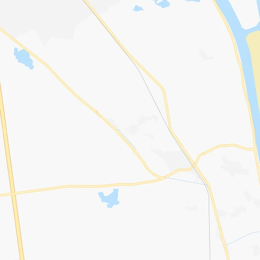
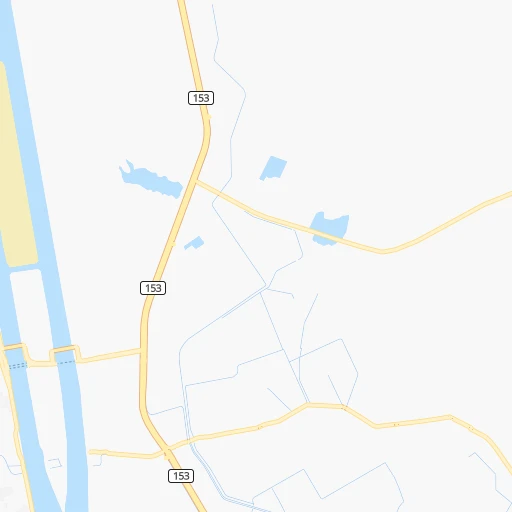
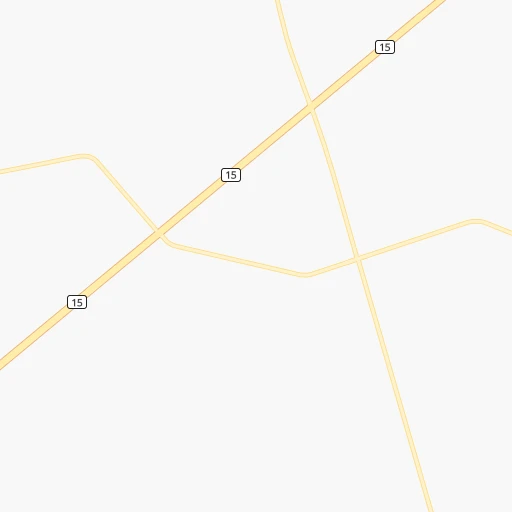
Roadmap (route) to go from Toussoum Station (historical) to Bilbays detailed above, you can also see the course layout on the map.
While doing trip Toussoum Station (historical) - Bilbays by car, the calculated route ends at a distance , or more straight.
Distance and duration of the route between Toussoum Station (historical) and Bilbays
Calculation of distance and route from Bilbays to Toussoum Station (historical) :
74.890.4 km1h22mn
Continue onto طريق بورسعيد, قناه السويس 0h8mn 7.6 kmAt roundabout, take exit 2 onto شارع التعاون 0h2mn 1.5 kmContinue onto شارع بلاج التعاون القديم 0h1mn 526 mKeep left 0h0mn 34 mTurn left onto طريق الجيش 0h2mn 2.2 kmKeep right and drive toward شارع ام كلثوم, معدية نمرة 6 0h0mn 399 mTurn right onto شارع ام كلثوم 0h0mn 413 mKeep left onto كوبرى 2 0h3mn 3.0 kmContinue onto طريق القاهرة, الاسماعيليه الزراعى 1h49mn 56.8 kmTurn left onto شارع الشيخ ابو حماد 0h1mn 680 mKeep right onto شارع الشيخ ابو حماد 0h7mn 6.7 kmContinue onto طريق ابو حماد, بلبيس 0h9mn 9.2 kmMake a U-turn onto طريق بلبيس, الزقازيق 0h0mn 340 mTurn right onto شارع جمال عبد الناصر 0h1mn 731 mTurn right onto شارع الحاج محمود ابو النجا 0h0mn 85 mTurn left onto شارع ابو النجا 0h0mn 101 mArrive at destination 0h0mn 0 m
Travel from Toussoum Station (historical) (Sharqia) to a selection of major cities.
Distances from Toussoum Station (historical) to biggest cities in Ismailia
Other major cities in country :
- New Cairo [11], 200,000 inhabitants. 99 km
- Bani Suwayf [18], 189,624 inhabitants. 200 km
- Shibin al Kawm [09], 186,345 inhabitants. 127 km
- Banha [12], 167,029 inhabitants. 111 km
- Talkha [01], 157,737 inhabitants. 110 km
- Kafr ash Shaykh [21], 143,970 inhabitants. 149 km
- Mallawi [10], 142,504 inhabitants. 342 km
- Dikirnis [01], 137,542 inhabitants. 96 km
- Idfu [16], 133,000 inhabitants. 618 km
- Bilbays [14], 129,211 inhabitants. 75 km
- Arish [27], 128,855 inhabitants. 156 km
- Jirja [24], 128,250 inhabitants. 466 km
- Al Hawamidiyah [08], 106,841 inhabitants. 125 km
- Bilqas [01], 103,596 inhabitants. 122 km
- Disuq [21], 102,037 inhabitants. 176 km
- Abu Kabir [14], 100,684 inhabitants. 68 km
- Qalyub [12], 100,495 inhabitants. 115 km
- Akhmim [24], 99,446 inhabitants. 443 km
- Al Matariyah [01], 99,357 inhabitants. 80 km
- Hurghada [02], 95,622 inhabitants. 390 km
Route from Bilbays to major cities (Egypt).
- Distance Bilbays Cairo50 km
- Distance Bilbays Alexandria180 km
- Distance Bilbays Giza57 km
- Distance Bilbays Port Said116 km
- Distance Bilbays Suez105 km
- Distance Bilbays Al Mahallah al Kubra72 km
- Distance Bilbays Luxor536 km
- Distance Bilbays Asyut362 km
- Distance Bilbays Al Mansurah71 km
- Distance Bilbays Tanda68 km
- Distance Bilbays Al Fayyum142 km
- Distance Bilbays Ismailia71 km
- Distance Bilbays Kafr ad Dawwar158 km
- Distance Bilbays Aswan717 km
- Distance Bilbays Qina487 km
- Distance Bilbays Halwan69 km
- Distance Bilbays Damanhur125 km
- Distance Bilbays Al Minya269 km
- Distance Bilbays Idku156 km
- Distance Bilbays Sohag430 km
Nearest cities to Toussoum Station (historical) :
- Cairo, 7,734,614 inhabitants. 116 km
- Alexandria, 3,811,516 inhabitants. 244 km
- Giza, 2,443,203 inhabitants. 122 km
- Port Said, 538,378 inhabitants. 83 km
- Suez, 488,125 inhabitants. 62 km
- Al Mahallah al Kubra, 431,052 inhabitants. 123 km
- Al Mansurah, 420,195 inhabitants. 109 km
- Tanda, 404,901 inhabitants. 131 km
- Al Fayyum, 306,393 inhabitants. 197 km
- Zagazig, 285,097 inhabitants. 80 km
- Ismailia, 284,813 inhabitants. 12 km
- Kafr ad Dawwar, 267,370 inhabitants. 222 km
- Halwan, 230,000 inhabitants. 124 km
- Damanhur, 227,943 inhabitants. 188 km
- Al Minya, 227,150 inhabitants. 308 km
- Idku, 210,678 inhabitants. 214 km
- New Cairo, 200,000 inhabitants. 99 km
- Bani Suwayf, 189,624 inhabitants. 200 km
- Shibin al Kawm, 186,345 inhabitants. 127 km
- Banha, 167,029 inhabitants. 111 km
- Talkha, 157,737 inhabitants. 110 km
- Kafr ash Shaykh, 143,970 inhabitants. 149 km
- Mallawi, 142,504 inhabitants. 342 km
- Dikirnis, 137,542 inhabitants. 96 km
- Bilbays, 129,211 inhabitants. 75 km
- Arish, 128,855 inhabitants. 156 km
- Al Hawamidiyah, 106,841 inhabitants. 125 km
- Bilqas, 103,596 inhabitants. 122 km
- Disuq, 102,037 inhabitants. 176 km
- Abu Kabir, 100,684 inhabitants. 68 km
- Qalyub, 100,495 inhabitants. 115 km
- Al Matariyah, 99,357 inhabitants. 80 km
- Zefta, 92,667 inhabitants. 107 km
- Samalut, 90,465 inhabitants. 291 km
- Bush, 86,608 inhabitants. 191 km
- Hawsh `Isa, 85,352 inhabitants. 201 km
- Munuf, 83,651 inhabitants. 135 km
- Ashmun, 82,507 inhabitants. 133 km
- Damietta, 76,839 inhabitants. 113 km
- Kafr az Zayyat, 73,725 inhabitants. 149 km
- Al Jammaliyah, 68,381 inhabitants. 87 km
- Dayrut, 67,788 inhabitants. 361 km
- Toukh, 67,599 inhabitants. 110 km
- Al Manzalah, 67,486 inhabitants. 82 km
- Rosetta, 64,481 inhabitants. 208 km
- Awsim, 63,862 inhabitants. 123 km
- Al Fashn, 63,793 inhabitants. 234 km
- Fuwwah, 63,310 inhabitants. 187 km
- Faqus, 62,821 inhabitants. 57 km
- Al Khankah, 62,434 inhabitants. 99 km
Location Toussoum Station (historical) (Ismailia) :
| Country flag |  |
| Location | Toussoum Station (historical) |
| State | Ismailia |
| County | |
| Country | Egypt |
| Country code / ISO 2 | EG |
| Latitude | 30.5104000 |
| Longitude | 32.3358300 |
| Altitude | 0 meters |
| Time zone | Africa/Cairo |
Location Bilbays (Sharqia) :
| Country flag | |
| Location | Bilbays |
| State | Sharqia |
| County | |
| Country | Egypt |
| Country code / ISO 2 | EG |
| Latitude | 30.4203900 |
| Longitude | 31.5622300 |
| Altitude | 0 meters |
| Time zone | Africa/Cairo |