
How to get from Gumia Railway Station (Jharkhand) to Lātehār (Jharkhand)
Calculate route from Gumia Railway Station (Jharkhand, India) to Lātehār (Jharkhand, India).
The flight distance (as the crow flies) between Gumia Railway Station and Lātehār is 135.5 km.
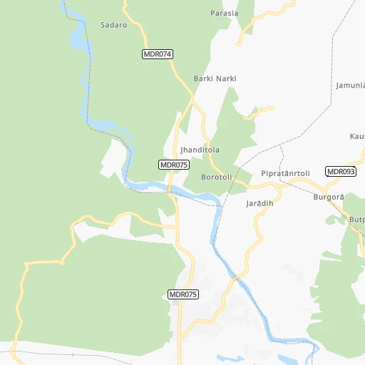
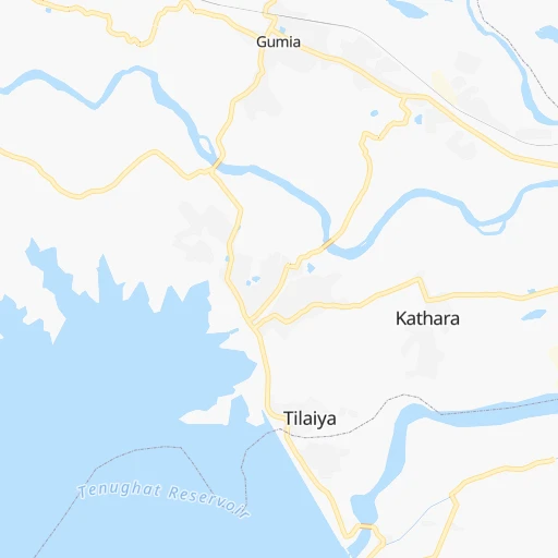
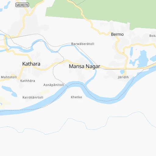
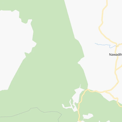
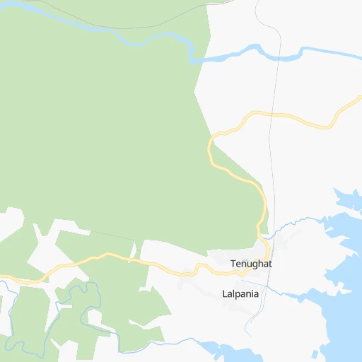
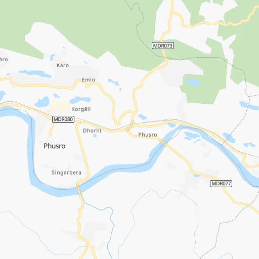
Roadmap (route) to go from Gumia Railway Station to Lātehār detailed above, you can also see the course layout on the map.
While doing trip Gumia Railway Station - Lātehār by car, the calculated route ends at a distance , or more straight.
Distance and duration of the route between Gumia Railway Station and Lātehār
Calculation of distance and route from Lātehār to Gumia Railway Station :
135.5178.0 km3h9mn
Continue 0h1mn 518 mTurn left 0h3mn 2.6 kmKeep right 0h16mn 13.2 kmTurn sharp right 0h24mn 23.5 kmTurn left 1h34mn 28.3 kmTurn slight left 0h1mn 891 mTurn slight right 0h1mn 1.2 kmTurn right 0h0mn 42 mTurn right 0h9mn 8.9 kmTurn sharp right 0h1mn 622 mKeep left 0h7mn 5.9 kmKeep right 0h4mn 3.4 kmKeep right 0h3mn 2.2 kmTurn left 0h0mn 199 mTurn left 0h0mn 127 mTurn right 0h0mn 166 mTurn left 0h4mn 3.5 kmTurn right 0h14mn 11.5 kmTurn left 0h2mn 1.6 kmTurn left 0h1mn 250 mTurn slight left 0h2mn 1.4 kmTurn right 0h4mn 4.4 kmTurn left onto SH7 0h1mn 818 mTurn left onto SH7 0h1mn 1.5 kmTurn left 0h0mn 116 mTurn left onto SH7 0h3mn 3.0 kmKeep right 0h5mn 5.0 kmTurn right 0h0mn 327 mTurn left onto MDR142 0h1mn 926 mTurn right onto MDR142 0h24mn 24.1 kmTurn slight right onto NH39 0h24mn 27.6 kmArrive at destination 0h0mn 0 m
Travel from Gumia Railway Station (Jharkhand) to a selection of major cities.
Distances from Gumia Railway Station to biggest cities in Jharkhand
- Pakur,45,840 inhabitants.224 km
- Pathardih,45,276 inhabitants.63 km
- Gumla,44,951 inhabitants.156 km
- Godda,43,658 inhabitants.181 km
- Garhwa,40,662 inhabitants.210 km
- Chakradharpur,40,599 inhabitants.127 km
- Ghatsila,40,018 inhabitants.151 km
- Simdega,38,732 inhabitants.190 km
- Jamadoba,34,774 inhabitants.59 km
- Mushabani,32,761 inhabitants.157 km
- Sijua,31,537 inhabitants.51 km
- Gomoh,31,395 inhabitants.34 km
- Khunti,31,366 inhabitants.99 km
- Gobindpur,27,066 inhabitants.132 km
- Husainabad,26,184 inhabitants.203 km
- Jamtara,24,388 inhabitants.101 km
- Barki Saria,24,134 inhabitants.42 km
- Latehar,20,769 inhabitants.136 km
- Dugda,20,400 inhabitants.35 km
Other major cities in country :
- Vadodara [09], 1,409,476 inhabitants. 1,303 km
- Gorakhpur [10], 1,324,570 inhabitants. 1,189 km
- Nashik [16], 1,289,497 inhabitants. 1,313 km
- Pimpri [16], 1,284,606 inhabitants. 1,374 km
- Kalyan [16], 1,262,255 inhabitants. 1,408 km
- Thane [16], 1,261,517 inhabitants. 1,427 km
- Meerut [36], 1,223,184 inhabitants. 994 km
- Nowrangapur [21], 1,220,946 inhabitants. 612 km
- Faridabad [10], 1,220,229 inhabitants. 994 km
- Ghaziabad [36], 1,199,191 inhabitants. 997 km
- Dombivli [16], 1,193,000 inhabitants. 1,415 km
- Rajkot [09], 1,177,362 inhabitants. 1,549 km
- Varanasi [36], 1,164,404 inhabitants. 332 km
- Amritsar [23], 1,092,450 inhabitants. 1,385 km
- Allahabad [36], 1,073,438 inhabitants. 443 km
- Visakhapatnam [02], 1,063,178 inhabitants. 734 km
- Teni [25], 1,034,724 inhabitants. 1,773 km
- Jabalpur [35], 1,030,168 inhabitants. 604 km
- Haora [28], 1,027,672 inhabitants. 289 km
- Aurangabad [16], 1,016,441 inhabitants. 1,168 km
Route from Lātehār to major cities (India).
- Distance Lātehār Mumbai1,311 km
- Distance Lātehār Delhi908 km
- Distance Lātehār Bengaluru1,403 km
- Distance Lātehār Kolkata417 km
- Distance Lātehār Chennai1,267 km
- Distance Lātehār Ahmedabad1,219 km
- Distance Lātehār Hyderabad947 km
- Distance Lātehār Pune1,248 km
- Distance Lātehār Surat1,233 km
- Distance Lātehār Kanpur516 km
- Distance Lātehār Jaipur945 km
- Distance Lātehār Navi Mumbai1,300 km
- Distance Lātehār Lucknow498 km
- Distance Lātehār Nagpur628 km
- Distance Lātehār Indore894 km
- Distance Lātehār Patna216 km
- Distance Lātehār Bhopal726 km
- Distance Lātehār Ludhiana1,169 km
- Distance Lātehār Tirunelveli1,822 km
- Distance Lātehār Agra756 km
Nearest cities to Gumia Railway Station :
- Kolkata, 4,631,392 inhabitants. 294 km
- Patna, 1,599,920 inhabitants. 211 km
- Varanasi, 1,164,404 inhabitants. 332 km
- Haora, 1,027,672 inhabitants. 289 km
- Ranchi, 846,454 inhabitants. 74 km
- Gorakhpur, 674,246 inhabitants. 413 km
- Jamshedpur, 616,338 inhabitants. 117 km
- Raurkela, 536,450 inhabitants. 202 km
- Durgapur, 518,872 inhabitants. 154 km
- Shiliguri, 515,574 inhabitants. 416 km
- Asansol, 504,271 inhabitants. 118 km
- Bhatpara, 483,129 inhabitants. 283 km
- Shyamnagar, 441,956 inhabitants. 281 km
- Nangi, 440,894 inhabitants. 283 km
- Gaya, 423,692 inhabitants. 139 km
- Bokaro, 418,533 inhabitants. 13 km
- Panihati, 378,705 inhabitants. 288 km
- Bhagalpur, 361,548 inhabitants. 198 km
- Muzaffarpur, 333,200 inhabitants. 262 km
- Kamarhati, 332,965 inhabitants. 289 km
- Kulti, 305,405 inhabitants. 104 km
- Barddhaman, 301,725 inhabitants. 216 km
- Barasat, 298,127 inhabitants. 297 km
- Bali, 296,973 inhabitants. 287 km
- Darbhanga, 287,150 inhabitants. 262 km
- Baranagar, 260,072 inhabitants. 291 km
- Naihati, 253,221 inhabitants. 283 km
- Mau, 246,050 inhabitants. 330 km
- Bihar Sharif, 244,230 inhabitants. 159 km
- Barasat, 237,783 inhabitants. 321 km
- Shrirampur, 226,317 inhabitants. 282 km
- Arrah, 223,676 inhabitants. 228 km
- Gosaba, 222,764 inhabitants. 355 km
- Kharagpur, 219,665 inhabitants. 224 km
- Dhanbad, 219,636 inhabitants. 62 km
- Monghyr, 203,163 inhabitants. 187 km
- Chapra, 201,597 inhabitants. 246 km
- Purnia, 198,453 inhabitants. 276 km
- Katihar, 192,555 inhabitants. 261 km
- Kultali, 187,942 inhabitants. 338 km
- Chandannagar, 180,623 inhabitants. 280 km
- Baharampur, 180,547 inhabitants. 249 km
- Hugli, 177,005 inhabitants. 281 km
- Haldia, 170,695 inhabitants. 304 km
- Raiganj, 170,252 inhabitants. 307 km
- Ingraj Bazar, 170,039 inhabitants. 270 km
- Sambalpur, 162,887 inhabitants. 322 km
- Madhyamgram, 161,126 inhabitants. 295 km
- Jamuria, 160,242 inhabitants. 128 km
- Medinipur, 153,349 inhabitants. 217 km
Location Gumia Railway Station (Jharkhand) :
| Country flag |  |
| Location | Gumia Railway Station |
| State | Jharkhand |
| County | Bokaro |
| Country | India |
| Country code / ISO 2 | IN |
| Latitude | 23.8026700 |
| Longitude | 85.8303400 |
| Altitude | 0 meters |
| Time zone | Asia/Kolkata |
Location Lātehār (Jharkhand) :
| Country flag | |
| Location | Lātehār |
| State | Jharkhand |
| County | Latehar |
| Country | India |
| Country code / ISO 2 | IN |
| Latitude | 23.7442300 |
| Longitude | 84.4998400 |
| Altitude | 0 meters |
| Time zone | Asia/Kolkata |