
Home
››
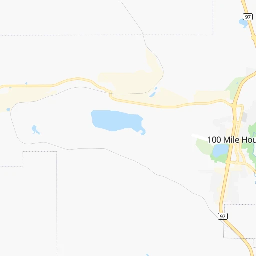
One Hundred Mile House Airport
››
Roadmap from One Hundred Mile House Airport to Bowen Island
How to get from One Hundred Mile House (airport) (British Columbia) to Bowen Island (British Columbia)
Calculate route from One Hundred Mile House (airport) (British Columbia, Canada) to Bowen Island (British Columbia, Canada).
The flight distance (as the crow flies) between One Hundred Mile House (airport) and Bowen Island is 289.0 km.
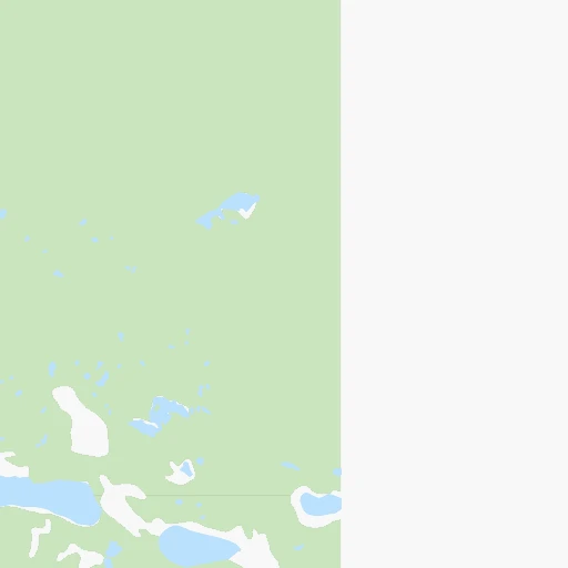
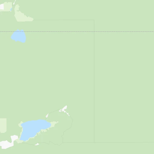
Roadmap (route) to go from One Hundred Mile House Airport to Bowen Island detailed above, you can also see the course layout on the map.
While doing trip One Hundred Mile House (airport) - Bowen Island by car, the calculated route ends at a distance , or more straight.
Distance and duration of the route between One Hundred Mile House (airport) and Bowen Island
Calculation of distance and route from Bowen Island to One Hundred Mile House (airport) :
289.0391.5 km7h48mn
Continue 0h1mn 558 mTurn right onto Cariboo Highway 1h48mn 72.6 kmTurn right onto Kelly Lake Road 0h25mn 19.1 kmTurn left onto Pavilion Road (closed in winter) 1h40mn 19.9 kmTurn right onto Pavilion-Clinton Road 0h28mn 33.1 kmKeep right and take 99 toward Lillooet, Whistler 0h0mn 61 mTurn slight right onto Duffey Lake Road 0h1mn 1.2 kmTurn left onto Duffey Lake Road 2h38mn 90.2 kmTurn left onto Main Street and drive toward Pemberton, Whistler, Vancouver 1h5mn 75.4 kmContinue onto Sea-to-Sky Highway 1h45mn 52.8 kmKeep right and drive toward Lions Bay Avenue 0h0mn 180 mKeep left and drive toward Lions Bay Avenue 0h0mn 49 mContinue onto Isleview Place 0h0mn 87 mContinue and take 99 SOUTH toward Sea to Sky Highway 0h12mn 13.7 kmKeep right and drive toward Headland Drive, Woodgreen Drive 0h0mn 469 mKeep left and drive toward Westport, Woodgreen Drive, Ferries 0h0mn 51 mTurn left onto Headland Drive and drive toward Westport, Woodgreen Drive, Ferries 0h0mn 107 mKeep right and drive toward Woodgreen Drive, Nanaimo, Gibsons 0h0mn 25 mTurn slight right onto Westport Road 0h0mn 279 mTurn sharp right and drive toward Ferry Traffic 0h2mn 2.1 kmContinue onto Trans-Canada Highway and take 1 West, 101 North toward Horseshoe Bay Village, Nanaimo, Gibsons 0h1mn 555 mKeep right onto Horseshoe Bay Terminal 0h1mn 673 mKeep left onto Trans-Canada Highway 0h0mn 20 mKeep left onto Trans-Canada Highway 0h0mn 26 mKeep right 0h0mn 18 mKeep left 0h0mn 125 mTurn right onto Horseshoe Bay Terminal 0h1mn 185 mKeep left onto 1 0h2mn 779 mKeep right onto 1 0h0mn 84 mKeep left onto 1 0h0mn 47 mTurn slight right onto Berth 1 0h0mn 50 mContinue onto Berth 1 approach 0h3mn 505 mKeep right onto Bowen Island ↔ Horseshoe Bay 1h30mn 5.3 kmTurn right onto Miller Road 0h1mn 682 mTurn right onto Melmore Road 0h0mn 108 mTurn right onto Melmore Road 0h0mn 204 mTurn left onto Lenora Road 0h0mn 117 mArrive at destination 0h0mn 0 m
Travel from One Hundred Mile House (airport) (British Columbia) to a selection of major cities.
Distances from One Hundred Mile House Airport to biggest cities in British Columbia
- Vernon,47,274 inhabitants.209 km
- West End,44,560 inhabitants.293 km
- West Vancouver,42,694 inhabitants.286 km
- Penticton,37,721 inhabitants.270 km
- Campbell River,33,430 inhabitants.331 km
- Courtenay,32,793 inhabitants.339 km
- North Cowichan,32,272 inhabitants.355 km
- West Kelowna,28,793 inhabitants.232 km
- Port Moody,27,512 inhabitants.285 km
- Walnut Grove,25,683 inhabitants.292 km
- Langley,23,606 inhabitants.299 km
- Langford,22,459 inhabitants.389 km
- Duncan,22,199 inhabitants.361 km
- Port Alberni,21,282 inhabitants.365 km
Other major cities in country :
- Vaughan [08], 238,866 inhabitants. 3,200 km
- Kitchener [08], 233,700 inhabitants. 3,154 km
- Longueuil [10], 229,330 inhabitants. 3,518 km
- Saskatoon [11], 198,958 inhabitants. 1,005 km
- Richmond Hill [08], 185,541 inhabitants. 3,202 km
- Barrie [08], 182,041 inhabitants. 3,157 km
- Nepean [08], 180,000 inhabitants. 3,376 km
- Regina [11], 176,183 inhabitants. 1,173 km
- Oakville [08], 165,697 inhabitants. 3,209 km
- Burlington [08], 164,415 inhabitants. 3,202 km
- Greater Sudbury [08], 157,857 inhabitants. 2,956 km
- Saguenay [10], 143,692 inhabitants. 3,539 km
- St. Catharines [08], 131,989 inhabitants. 3,256 km
- Sherbrooke [10], 129,447 inhabitants. 3,636 km
- Levis [10], 126,396 inhabitants. 3,611 km
- Cambridge [08], 120,372 inhabitants. 3,171 km
- Trois-Rivieres [10], 119,693 inhabitants. 3,542 km
- Guelph [08], 115,760 inhabitants. 3,164 km
- East York [08], 115,365 inhabitants. 3,220 km
- Kingston [08], 114,195 inhabitants. 3,386 km
Route from Bowen Island to major cities (Canada).
- Distance Bowen Island Toronto3,372 km
- Distance Bowen Island Montreal3,701 km
- Distance Bowen Island Calgary684 km
- Distance Bowen Island Ottawa3,556 km
- Distance Bowen Island Edmonton825 km
- Distance Bowen Island Mississauga3,361 km
- Distance Bowen Island North York3,369 km
- Distance Bowen Island Winnipeg1,879 km
- Distance Bowen Island Scarborough3,380 km
- Distance Bowen Island Quebec3,808 km
- Distance Bowen Island Hamilton3,364 km
- Distance Bowen Island Brampton3,348 km
- Distance Bowen Island Laval3,691 km
- Distance Bowen Island Halifax4,447 km
- Distance Bowen Island Etobicoke3,364 km
- Distance Bowen Island London3,277 km
- Distance Bowen Island Windsor3,184 km
- Distance Bowen Island Markham3,375 km
- Distance Bowen Island Oshawa3,403 km
- Distance Bowen Island Gatineau3,553 km
Nearest cities to One Hundred Mile House (airport) :
- Vancouver, 600,000 inhabitants. 296 km
- Surrey, 394,976 inhabitants. 302 km
- Okanagan, 297,601 inhabitants. 198 km
- Burnaby, 202,799 inhabitants. 289 km
- Ladner, 200,000 inhabitants. 311 km
- Richmond, 182,000 inhabitants. 304 km
- Abbotsford, 151,683 inhabitants. 295 km
- Anmore, 126,456 inhabitants. 281 km
- Kelowna, 125,109 inhabitants. 234 km
- Coquitlam, 114,565 inhabitants. 282 km
- Delta, 101,668 inhabitants. 300 km
- Nanaimo, 84,905 inhabitants. 333 km
- Chilliwack, 77,000 inhabitants. 279 km
- Maple Ridge, 70,000 inhabitants. 285 km
- Kamloops, 68,714 inhabitants. 129 km
- White Rock, 66,450 inhabitants. 311 km
- Prince George, 65,558 inhabitants. 271 km
- New Westminster, 58,549 inhabitants. 294 km
- North Vancouver, 48,000 inhabitants. 287 km
- Vernon, 47,274 inhabitants. 209 km
- West End, 44,560 inhabitants. 293 km
- West Vancouver, 42,694 inhabitants. 286 km
- Penticton, 37,721 inhabitants. 270 km
- North Cowichan, 32,272 inhabitants. 355 km
- West Kelowna, 28,793 inhabitants. 232 km
- Port Moody, 27,512 inhabitants. 285 km
- Walnut Grove, 25,683 inhabitants. 292 km
- Langley, 23,606 inhabitants. 299 km
- Duncan, 22,199 inhabitants. 361 km
- Pitt Meadows, 17,410 inhabitants. 287 km
- Salmon Arm, 16,205 inhabitants. 175 km
- Williams Lake, 14,168 inhabitants. 80 km
- Quesnel, 13,788 inhabitants. 169 km
- Aldergrove, 12,363 inhabitants. 299 km
- North Saanich, 11,089 inhabitants. 364 km
- Whistler, 10,600 inhabitants. 206 km
- Hanceville, 10,000 inhabitants. 124 km
- Ladysmith, 8,740 inhabitants. 345 km
- Merritt, 7,179 inhabitants. 174 km
- Gibsons, 6,821 inhabitants. 295 km
- Summerland, 6,292 inhabitants. 255 km
- Sechelt, 5,977 inhabitants. 297 km
- Agassiz, 4,738 inhabitants. 270 km
- Oliver, 4,647 inhabitants. 301 km
- Hope, 4,598 inhabitants. 252 km
- Osoyoos, 4,314 inhabitants. 319 km
- Armstrong, 4,275 inhabitants. 198 km
- Grand Forks, 4,208 inhabitants. 355 km
- Grande Cache, 4,025 inhabitants. 289 km
- Bowen Island, 3,551 inhabitants. 290 km
Location One Hundred Mile House (airport) (British Columbia) :
| Country flag |  |
| Location | One Hundred Mile House (airport) |
| State | British Columbia |
| County | Cariboo Regional District |
| Country | Canada |
| Country code / ISO 2 | CA |
| Latitude | 51.6425000 |
| Longitude | -121.3053700 |
| Altitude | 0 meters |
| Time zone | America/Vancouver |
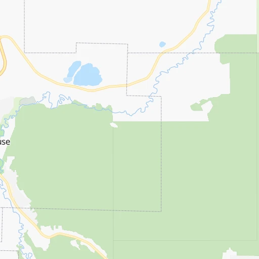
Location Bowen Island (British Columbia) :
| Country flag | |
| Location | Bowen Island |
| State | British Columbia |
| County | Metro Vancouver Regional District |
| Country | Canada |
| Country code / ISO 2 | CA |
| Latitude | 49.3847000 |
| Longitude | -123.3362200 |
| Altitude | 0 meters |
| Time zone | America/Vancouver |
