


How to get from Corntassel (airport) (Tennessee) to Las Vegas (Nevada)
Calculate route from Corntassel (airport) (Tennessee, United States) to Las Vegas (Nevada, United States).
The flight distance (as the crow flies) between Corntassel (airport) and Las Vegas is 2,771.2 km.
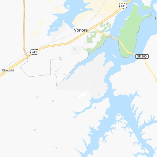
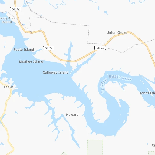
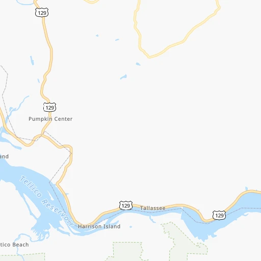
Roadmap (route) to go from Corntassel Airport to Las Vegas detailed above, you can also see the course layout on the map.
While doing trip Corntassel (airport) - Las Vegas by car, the calculated route ends at a distance , or more straight.
Distance and duration of the route between Corntassel (airport) and Las Vegas
Calculation of distance and route from Las Vegas to Corntassel (airport) :
2,771.23,170.9 km31h6mn
Continue onto Chota View Road 0h1mn 673 mTurn slight right onto Chota View 0h1mn 285 mTurn right onto Corn Tassel Road 0h3mn 1.3 kmTurn right onto Povo Road 0h3mn 1.5 kmTurn sharp left onto Niles Ferry Road 0h1mn 288 mTurn right onto Mason Road 0h6mn 2.8 kmTurn right onto Mason Road 0h1mn 636 mTurn right onto US 411 0h2mn 2.0 kmTurn left onto SR 72 0h9mn 9.7 kmTurn right onto Tellico Parkway 0h17mn 17.3 kmContinue 0h13mn 14.2 kmTurn left 2h23mn 242.0 kmKeep right onto I 40 and take I 24 West, I 40 West toward Nashville 0h3mn 3.4 kmKeep left onto I 40 and take I 40 West toward Huntsville, Memphis 0h2mn 3.0 kmKeep right and take US 70, US 70S, US 431 toward Broadway 0h1mn 1.1 kmTurn left onto Charlotte Avenue 0h5mn 4.6 kmTurn right onto 46th Avenue North 0h0mn 252 mTurn left onto Delaware Avenue 0h0mn 91 mKeep left toward I 40 West 3h6mn 311.7 kmContinue onto Sam Cooper Boulevard 0h4mn 5.6 kmKeep right and drive toward Highland Street 0h0mn 413 mKeep right 0h0mn 63 mTurn slight right onto North Highland Street 0h0mn 76 mTurn left onto Summer Avenue 0h9mn 8.5 kmTurn left onto North Danny Thomas Boulevard 0h0mn 350 mKeep right and take I 40 West toward Little Rock 0h10mn 14.2 kmKeep left onto I 40 7h45mn 712.2 kmKeep left onto Tinker Diagonal 0h14mn 21.1 kmContinue onto Crosstown Expressway and take I 235 North, US 77 North, I 40 West, US 270 West toward Oklahoma Health Center, State Capitol, Edmond, Amarillo 15h18mn 1,626.3 kmKeep right onto US 93 and take US 93 toward Beale Street, Las Vegas 0h0mn 530 mKeep right onto US 93 and take US 93 toward Beale Street, Las Vegas 1h15mn 115.0 kmKeep right and take US 93 BUS North, NV 172 East toward Boulder City, Hoover Dam, Lake Mead 0h0mn 191 mKeep right onto US 93 Business and take US 93 BUS North toward Boulder City 0h8mn 8.8 kmKeep right onto Boulder City Parkway 0h27mn 39.9 kmKeep right and drive toward Downtown Las Vegas, Las Vegas Boulevard 0h0mn 533 mTurn right onto Las Vegas Boulevard North 0h0mn 106 mTurn left onto East Bonanza Road 0h0mn 18 mArrive at destination 0h0mn 0 m
Travel from Corntassel (airport) (Nevada) to a selection of major cities.
Distances from Corntassel Airport to biggest cities in Tennessee
- Spring Hill,36,055 inhabitants.244 km
- La Vergne,34,794 inhabitants.217 km
- Gallatin,34,334 inhabitants.219 km
- Cookeville,32,113 inhabitants.132 km
- Mount Juliet,31,540 inhabitants.217 km
- Brentwood Estates,31,279 inhabitants.235 km
- Lebanon,30,262 inhabitants.198 km
- Morristown,29,478 inhabitants.112 km
- Oak Ridge,29,302 inhabitants.50 km
- Maryville,28,464 inhabitants.33 km
- Bristol,26,666 inhabitants.218 km
- Farragut,21,919 inhabitants.37 km
- Shelbyville,21,317 inhabitants.201 km
- East Ridge,20,979 inhabitants.110 km
Other major cities in country :
- Charlotte [NC], 827,097 inhabitants. 311 km
- Seattle [WA], 684,451 inhabitants. 3,401 km
- Denver [CO], 682,545 inhabitants. 1,882 km
- El Paso [TX], 681,124 inhabitants. 2,099 km
- Detroit [MI], 677,116 inhabitants. 761 km
- Boston [MA], 667,137 inhabitants. 1,367 km
- Portland [OR], 632,309 inhabitants. 3,398 km
- Oklahoma City [OK], 631,346 inhabitants. 1,202 km
- Las Vegas [NV], 623,747 inhabitants. 2,776 km
- Baltimore [MD], 621,849 inhabitants. 792 km
- Washington, D.C. [DC], 601,723 inhabitants. 738 km
- Milwaukee [WI], 600,155 inhabitants. 890 km
- South Boston [MA], 571,281 inhabitants. 1,366 km
- Albuquerque [NM], 559,121 inhabitants. 2,032 km
- Tucson [AZ], 531,641 inhabitants. 2,486 km
- Fresno [CA], 520,052 inhabitants. 3,178 km
- Sacramento [CA], 490,712 inhabitants. 3,303 km
- Kansas City [MO], 475,378 inhabitants. 995 km
- Long Beach [CA], 474,140 inhabitants. 3,099 km
- Mesa [AZ], 471,825 inhabitants. 2,533 km
Route from Las Vegas to major cities (United States).
- Distance Las Vegas New York City3,588 km
- Distance Las Vegas Los Angeles369 km
- Distance Las Vegas Chicago2,448 km
- Distance Las Vegas Brooklyn3,594 km
- Distance Las Vegas Houston1,975 km
- Distance Las Vegas Queens3,603 km
- Distance Las Vegas Philadelphia3,499 km
- Distance Las Vegas Phoenix413 km
- Distance Las Vegas Manhattan3,591 km
- Distance Las Vegas San Antonio1,726 km
- Distance Las Vegas San Diego428 km
- Distance Las Vegas The Bronx3,599 km
- Distance Las Vegas Dallas1,721 km
- Distance Las Vegas San Jose616 km
- Distance Las Vegas Austin1,745 km
- Distance Las Vegas Jacksonville3,168 km
- Distance Las Vegas San Francisco671 km
- Distance Las Vegas Columbus2,832 km
- Distance Las Vegas Fort Worth1,677 km
- Distance Las Vegas Indianapolis2,563 km
Nearest cities to Corntassel (airport) :
- Nashville, 530,852 inhabitants. 239 km
- Atlanta, 463,878 inhabitants. 202 km
- Lexington-Fayette, 314,488 inhabitants. 278 km
- Meads, 288,649 inhabitants. 346 km
- Ironville, 288,649 inhabitants. 351 km
- Louisville, 243,639 inhabitants. 329 km
- Lexington, 225,366 inhabitants. 271 km
- Birmingham, 212,461 inhabitants. 327 km
- Huntsville, 190,582 inhabitants. 232 km
- Knoxville, 185,291 inhabitants. 53 km
- Chattanooga, 176,588 inhabitants. 113 km
- East Chattanooga, 154,024 inhabitants. 107 km
- Murfreesboro, 126,118 inhabitants. 197 km
- Athens, 116,714 inhabitants. 195 km
- Sandy Springs, 105,330 inhabitants. 182 km
- Roswell, 94,501 inhabitants. 171 km
- Macon, 91,351 inhabitants. 308 km
- Asheville, 88,512 inhabitants. 153 km
- Hoover, 84,848 inhabitants. 336 km
- Johns Creek, 83,335 inhabitants. 170 km
- Warner Robins, 73,490 inhabitants. 333 km
- Franklin, 72,639 inhabitants. 241 km
- Johnson City, 66,027 inhabitants. 190 km
- Greenville, 64,579 inhabitants. 186 km
- Alpharetta, 63,693 inhabitants. 165 km
- Bowling Green, 63,616 inhabitants. 254 km
- Auburn, 62,059 inhabitants. 348 km
- Marietta, 59,067 inhabitants. 181 km
- Owensboro, 59,042 inhabitants. 356 km
- Smyrna, 56,146 inhabitants. 188 km
- Hendersonville, 56,018 inhabitants. 230 km
- Decatur, 55,437 inhabitants. 271 km
- Kingsport, 53,014 inhabitants. 187 km
- Brookhaven, 51,910 inhabitants. 190 km
- Stonecrest, 50,000 inhabitants. 206 km
- Charleston, 49,736 inhabitants. 388 km
- Dunwoody, 48,733 inhabitants. 180 km
- Huntington, 48,638 inhabitants. 356 km
- Madison, 46,962 inhabitants. 247 km
- Jeffersonville, 46,960 inhabitants. 331 km
- Smyrna, 46,607 inhabitants. 211 km
- Cleveland, 43,898 inhabitants. 73 km
- Augusta, 43,459 inhabitants. 312 km
- Brentwood, 41,763 inhabitants. 235 km
- Peachtree Corners, 40,978 inhabitants. 177 km
- North Atlanta, 40,456 inhabitants. 189 km
- Hickory, 40,374 inhabitants. 263 km
- Gainesville, 38,712 inhabitants. 145 km
- Spartanburg, 37,867 inhabitants. 221 km
- Milton, 37,547 inhabitants. 159 km
Location Corntassel (airport) (Tennessee) :
| Country flag |  |
| Location | Corntassel (airport) |
| State | Tennessee |
| County | Monroe County |
| Country | United States |
| Country code / ISO 2 | US |
| Latitude | 35.5591700 |
| Longitude | -84.2419700 |
| Altitude | 275 meters |
| Time zone | America/New_York |
Location Las Vegas (Nevada) :
| Country flag | |
| Location | Las Vegas |
| State | Nevada |
| County | Clark County |
| Country | United States |
| Country code / ISO 2 | US |
| Latitude | 36.1749700 |
| Longitude | -115.1372200 |
| Altitude | 610 meters |
| Time zone | America/Los_Angeles |


