

How to get from Area 142 (airport) (Texas) to Mansfield (Texas)
Calculate route from Area 142 (airport) (Texas, United States) to Mansfield (Texas, United States).
The flight distance (as the crow flies) between Area 142 (airport) and Mansfield is 186.9 km.
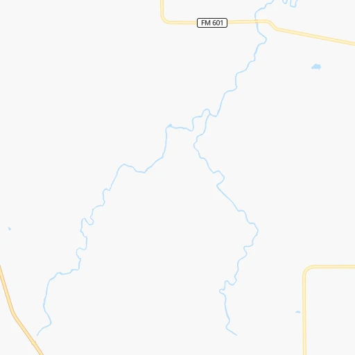
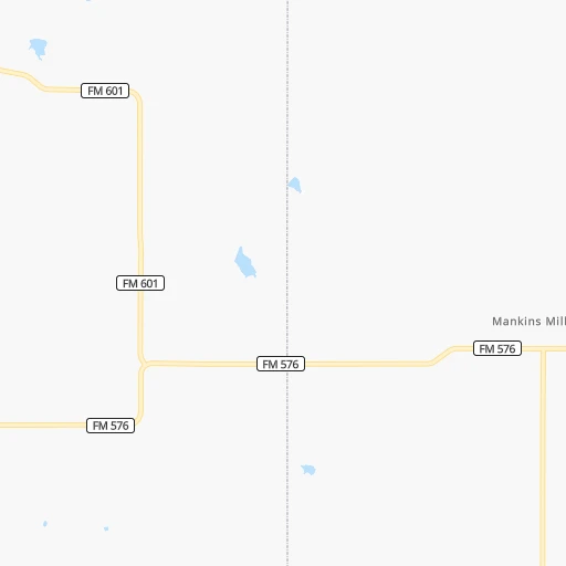
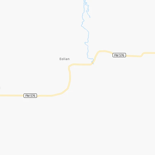
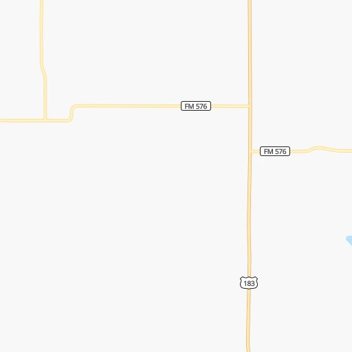
Roadmap (route) to go from Area 142 Airport to Mansfield detailed above, you can also see the course layout on the map.
While doing trip Area 142 (airport) - Mansfield by car, the calculated route ends at a distance , or more straight.
Distance and duration of the route between Area 142 (airport) and Mansfield
Calculation of distance and route from Mansfield to Area 142 (airport) :
186.9216.9 km3h54mn
Continue onto County Road 142 0h3mn 1.4 kmTurn right onto Farm to Market Road 576 0h25mn 24.7 kmTurn left onto US Highway 183 South 0h8mn 8.8 kmTurn right onto East Elliott Street 0h2mn 1.6 kmTurn left onto South Graham Avenue 0h0mn 391 mTurn right onto East Walker Street 1h34mn 46.3 kmContinue onto US 180 1h53mn 63.4 kmAt roundabout, take exit 2 onto Fort Worth Highway 0h8mn 9.3 kmKeep left onto US 180 0h7mn 11.2 kmKeep right onto Ronald Reagan Memorial Highway and take I 20 East toward Dallas, Shreveport 0h20mn 34.2 kmKeep right and take US 287 Business toward Mansfield Highway 0h0mn 592 mTurn sharp right onto West Kennedale Parkway 0h11mn 12.9 kmTurn right onto North Main Street 0h2mn 2.0 kmTurn left onto East Broad Street 0h0mn 35 mArrive at destination 0h0mn 0 m
Travel from Area 142 (airport) (Texas) to a selection of major cities.
Distances from Area 142 Airport to biggest cities in Texas
- Killeen,140,806 inhabitants.214 km
- McAllen,140,269 inhabitants.720 km
- Carrollton,133,168 inhabitants.213 km
- Midland,132,950 inhabitants.285 km
- Waco,132,356 inhabitants.223 km
- Denton,131,044 inhabitants.198 km
- Abilene,121,721 inhabitants.59 km
- Odessa,118,968 inhabitants.316 km
- Beaumont,118,129 inhabitants.556 km
- Round Rock,115,997 inhabitants.273 km
- Richardson,110,815 inhabitants.228 km
- Pearland,108,821 inhabitants.501 km
- College Station,107,889 inhabitants.346 km
- Wichita Falls,104,710 inhabitants.155 km
- Lewisville,104,039 inhabitants.206 km
- Tyler,103,700 inhabitants.361 km
- San Angelo,100,450 inhabitants.178 km
- Alief,98,725 inhabitants.468 km
- League City,98,312 inhabitants.519 km
- Allen,98,143 inhabitants.237 km
Other major cities in country :
- Memphis [TN], 655,770 inhabitants. 885 km
- New South Memphis [TN], 641,608 inhabitants. 883 km
- Portland [OR], 632,309 inhabitants. 2,475 km
- Oklahoma City [OK], 631,346 inhabitants. 350 km
- Las Vegas [NV], 623,747 inhabitants. 1,520 km
- Baltimore [MD], 621,849 inhabitants. 2,154 km
- Washington, D.C. [DC], 601,723 inhabitants. 2,108 km
- Milwaukee [WI], 600,155 inhabitants. 1,520 km
- South Boston [MA], 571,281 inhabitants. 2,690 km
- Albuquerque [NM], 559,121 inhabitants. 746 km
- Tucson [AZ], 531,641 inhabitants. 1,108 km
- Nashville [TN], 530,852 inhabitants. 1,200 km
- Fresno [CA], 520,052 inhabitants. 1,940 km
- Sacramento [CA], 490,712 inhabitants. 2,123 km
- Kansas City [MO], 475,378 inhabitants. 829 km
- Long Beach [CA], 474,140 inhabitants. 1,777 km
- Mesa [AZ], 471,825 inhabitants. 1,187 km
- Staten Island [NY], 468,730 inhabitants. 2,392 km
- Atlanta [GA], 463,878 inhabitants. 1,378 km
- Colorado Springs [CO], 456,568 inhabitants. 861 km
Route from Mansfield to major cities (United States).
- Distance Mansfield New York City2,248 km
- Distance Mansfield Los Angeles1,967 km
- Distance Mansfield Chicago1,331 km
- Distance Mansfield Brooklyn2,251 km
- Distance Mansfield Queens2,261 km
- Distance Mansfield Philadelphia2,130 km
- Distance Mansfield Phoenix1,396 km
- Distance Mansfield Manhattan2,254 km
- Distance Mansfield San Diego1,874 km
- Distance Mansfield The Bronx2,264 km
- Distance Mansfield San Jose2,313 km
- Distance Mansfield Jacksonville1,490 km
- Distance Mansfield San Francisco2,364 km
- Distance Mansfield Columbus1,510 km
- Distance Mansfield Indianapolis1,270 km
- Distance Mansfield Charlotte1,533 km
- Distance Mansfield Seattle2,701 km
- Distance Mansfield Denver1,064 km
- Distance Mansfield Detroit1,650 km
- Distance Mansfield Boston2,536 km
Nearest cities to Area 142 (airport) :
- Dallas, 1,300,092 inhabitants. 219 km
- Austin, 931,830 inhabitants. 294 km
- Fort Worth, 833,319 inhabitants. 171 km
- Oklahoma City, 631,346 inhabitants. 350 km
- Arlington, 388,125 inhabitants. 190 km
- Plano, 283,558 inhabitants. 232 km
- Lubbock, 249,042 inhabitants. 275 km
- Garland, 236,897 inhabitants. 236 km
- Irving, 236,607 inhabitants. 206 km
- Amarillo, 198,645 inhabitants. 381 km
- Grand Prairie, 187,809 inhabitants. 201 km
- McKinney, 162,898 inhabitants. 244 km
- Frisco, 154,407 inhabitants. 224 km
- Mesquite, 144,788 inhabitants. 238 km
- Killeen, 140,806 inhabitants. 214 km
- Carrollton, 133,168 inhabitants. 213 km
- Midland, 132,950 inhabitants. 285 km
- Waco, 132,356 inhabitants. 223 km
- Denton, 131,044 inhabitants. 198 km
- Abilene, 121,721 inhabitants. 59 km
- Norman, 120,284 inhabitants. 329 km
- Round Rock, 115,997 inhabitants. 273 km
- Richardson, 110,815 inhabitants. 228 km
- College Station, 107,889 inhabitants. 346 km
- Wichita Falls, 104,710 inhabitants. 155 km
- Lewisville, 104,039 inhabitants. 206 km
- San Angelo, 100,450 inhabitants. 178 km
- Allen, 98,143 inhabitants. 237 km
- Lawton, 96,655 inhabitants. 231 km
- Bryan, 82,118 inhabitants. 341 km
- Temple, 72,277 inhabitants. 240 km
- Flower Mound, 71,253 inhabitants. 196 km
- New Braunfels, 70,543 inhabitants. 339 km
- North Richland Hills, 69,204 inhabitants. 180 km
- Cedar Park, 65,945 inhabitants. 267 km
- Mansfield, 64,274 inhabitants. 187 km
- Georgetown, 63,716 inhabitants. 262 km
- San Marcos, 60,684 inhabitants. 326 km
- Moore, 60,451 inhabitants. 338 km
- Rowlett, 60,236 inhabitants. 243 km
- Midwest City, 57,249 inhabitants. 353 km
- Pflugerville, 57,122 inhabitants. 283 km
- Euless, 54,219 inhabitants. 194 km
- DeSoto, 52,486 inhabitants. 214 km
- Grapevine, 51,404 inhabitants. 196 km
- Bedford, 49,337 inhabitants. 188 km
- Cedar Hill, 48,507 inhabitants. 205 km
- Wylie, 46,708 inhabitants. 247 km
- Keller, 45,758 inhabitants. 180 km
- Haltom City, 44,206 inhabitants. 176 km
Location Area 142 (airport) (Texas) :
| Country flag |  |
| Location | Area 142 (airport) |
| State | Texas |
| County | Shackelford County |
| Country | United States |
| Country code / ISO 2 | US |
| Latitude | 32.6264900 |
| Longitude | -99.1366900 |
| Altitude | 397 meters |
| Time zone | America/Chicago |
Location Mansfield (Texas) :
| Country flag | |
| Location | Mansfield |
| State | Texas |
| County | Tarrant County |
| Country | United States |
| Country code / ISO 2 | US |
| Latitude | 32.5631900 |
| Longitude | -97.1416800 |
| Altitude | 184 meters |
| Time zone | America/Chicago |


