
How to get from Sohler's Holly Hill (airport) (Oregon) to Roseburg (Oregon)
Calculate route from Sohler's Holly Hill (airport) (Oregon, United States) to Roseburg (Oregon, United States).
The flight distance (as the crow flies) between Sohler's Holly Hill (airport) and Roseburg is 245.6 km.
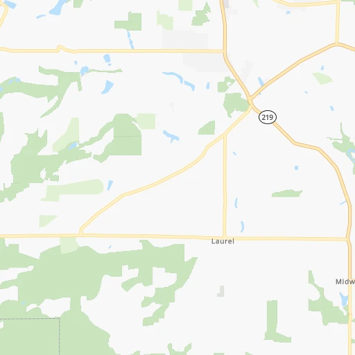
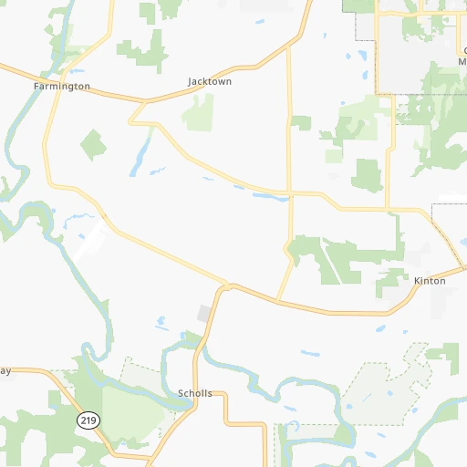
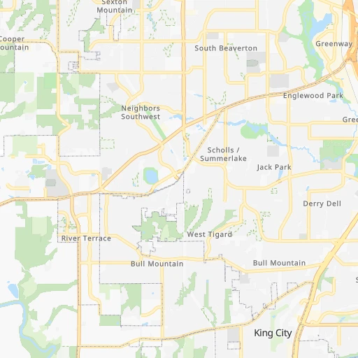
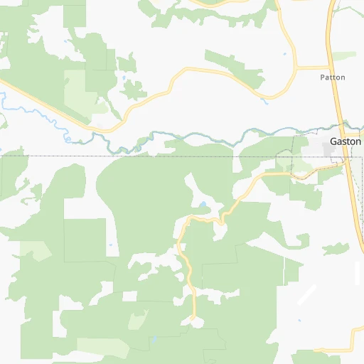
Roadmap (route) to go from Sohler's Holly Hill Airport to Roseburg detailed above, you can also see the course layout on the map.
While doing trip Sohler's Holly Hill (airport) - Roseburg by car, the calculated route ends at a distance , or more straight.
Distance and duration of the route between Sohler's Holly Hill (airport) and Roseburg
Calculation of distance and route from Roseburg to Sohler's Holly Hill (airport) :
245.6277.5 km3h22mn
Continue 0h0mn 30 mTurn right onto Southwest Holly Hill Road 0h1mn 623 mTurn right onto Southwest Campbell Road 0h3mn 1.5 kmTurn left onto Southwest Egger Road 0h3mn 1.4 kmTurn right onto Southwest McCormick Hill Road 0h1mn 416 mTurn right onto Southwest McCormick Hill Road 0h4mn 3.7 kmTurn right onto Northeast McCormick Hill Road 0h2mn 1.8 kmTurn right onto Northeast Mountain Top Road 0h0mn 90 mTurn sharp left 0h1mn 210 mTurn slight left onto Northeast Bald Peak Road 0h4mn 3.1 kmTurn right onto Northeast Hillsboro Highway 0h6mn 6.0 kmTurn left onto East 1st Street 0h1mn 584 mKeep right onto East 1st Street 0h1mn 1.1 kmContinue onto Northeast Saint Paul Highway 0h21mn 23.5 kmTurn right onto River Road Northeast 0h7mn 7.5 kmTurn sharp left onto Brooklake Road Northeast 0h1mn 1.1 kmTurn right onto I 5 and take I 5 South toward Salem 2h22mn 220.1 kmKeep right and drive toward North Roseburg 0h0mn 461 mTurn right onto Northwest Edenbower Boulevard 0h1mn 821 mTurn left onto Northwest Stewart Parkway 0h2mn 1.6 kmTurn right onto Northeast Stephens Street 0h2mn 1.7 kmTurn left onto Northeast Wright Avenue 0h0mn 82 mTurn left onto Northeast Winchester Street 0h0mn 1 mArrive at destination 0h0mn 0 m
Travel from Sohler's Holly Hill (airport) (Oregon) to a selection of major cities.
Distances from Sohler's Holly Hill Airport to biggest cities in Oregon
- West Linn,26,593 inhabitants.30 km
- Woodburn,25,173 inhabitants.32 km
- Forest Grove,23,897 inhabitants.15 km
- Newberg,22,780 inhabitants.13 km
- Wilsonville,22,729 inhabitants.21 km
- Roseburg,22,114 inhabitants.246 km
- Klamath Falls,21,399 inhabitants.368 km
- Ashland,20,861 inhabitants.359 km
- Milwaukie,20,830 inhabitants.28 km
- Bethany,20,646 inhabitants.19 km
- Lents,20,156 inhabitants.34 km
Other major cities in country :
- Charlotte [NC], 827,097 inhabitants. 3,706 km
- Seattle [WA], 684,451 inhabitants. 249 km
- Denver [CO], 682,545 inhabitants. 1,601 km
- El Paso [TX], 681,124 inhabitants. 2,083 km
- Detroit [MI], 677,116 inhabitants. 3,191 km
- Boston [MA], 667,137 inhabitants. 4,108 km
- Memphis [TN], 655,770 inhabitants. 2,996 km
- New South Memphis [TN], 641,608 inhabitants. 2,999 km
- Oklahoma City [OK], 631,346 inhabitants. 2,412 km
- Las Vegas [NV], 623,747 inhabitants. 1,222 km
- Baltimore [MD], 621,849 inhabitants. 3,822 km
- Washington, D.C. [DC], 601,723 inhabitants. 3,808 km
- Milwaukee [WI], 600,155 inhabitants. 2,789 km
- South Boston [MA], 571,281 inhabitants. 4,110 km
- Albuquerque [NM], 559,121 inhabitants. 1,797 km
- Tucson [AZ], 531,641 inhabitants. 1,799 km
- Nashville [TN], 530,852 inhabitants. 3,190 km
- Fresno [CA], 520,052 inhabitants. 1,002 km
- Sacramento [CA], 490,712 inhabitants. 771 km
- Kansas City [MO], 475,378 inhabitants. 2,430 km
Route from Roseburg to major cities (United States).
- Distance Roseburg New York City4,034 km
- Distance Roseburg Los Angeles1,112 km
- Distance Roseburg Chicago2,909 km
- Distance Roseburg Brooklyn4,041 km
- Distance Roseburg Houston2,897 km
- Distance Roseburg Queens4,048 km
- Distance Roseburg Philadelphia3,972 km
- Distance Roseburg Phoenix1,464 km
- Distance Roseburg Manhattan4,034 km
- Distance Roseburg San Antonio2,690 km
- Distance Roseburg San Diego1,288 km
- Distance Roseburg The Bronx4,039 km
- Distance Roseburg Dallas2,586 km
- Distance Roseburg San Jose666 km
- Distance Roseburg Austin2,684 km
- Distance Roseburg Jacksonville3,936 km
- Distance Roseburg San Francisco611 km
- Distance Roseburg Columbus3,346 km
- Distance Roseburg Fort Worth2,550 km
- Distance Roseburg Indianapolis3,098 km
Nearest cities to Sohler's Holly Hill (airport) :
- Seattle, 684,451 inhabitants. 249 km
- Portland, 632,309 inhabitants. 28 km
- Tacoma, 207,948 inhabitants. 209 km
- Vancouver, 172,860 inhabitants. 36 km
- Salem, 164,549 inhabitants. 52 km
- Eugene, 163,460 inhabitants. 152 km
- Bellevue, 139,820 inhabitants. 252 km
- Kent, 126,952 inhabitants. 227 km
- Gresham, 110,553 inhabitants. 45 km
- Everett, 108,010 inhabitants. 292 km
- Hillsboro, 102,347 inhabitants. 12 km
- Renton, 100,242 inhabitants. 238 km
- Beaverton, 96,577 inhabitants. 17 km
- Federal Way, 95,171 inhabitants. 219 km
- Yakima, 93,701 inhabitants. 234 km
- Kirkland, 87,281 inhabitants. 260 km
- Bend, 87,014 inhabitants. 201 km
- Auburn, 77,006 inhabitants. 219 km
- Marysville, 66,773 inhabitants. 300 km
- Springfield, 60,870 inhabitants. 152 km
- Redmond, 60,598 inhabitants. 260 km
- Lakewood, 59,829 inhabitants. 199 km
- Corvallis, 55,780 inhabitants. 97 km
- Shoreline, 55,439 inhabitants. 266 km
- South Hill, 52,431 inhabitants. 200 km
- Sammamish, 52,253 inhabitants. 258 km
- Albany, 52,175 inhabitants. 87 km
- Tigard, 51,253 inhabitants. 18 km
- Burien, 50,467 inhabitants. 234 km
- Olympia, 50,302 inhabitants. 181 km
- Aloha, 49,425 inhabitants. 13 km
- Lacey, 46,409 inhabitants. 181 km
- City of Sammamish, 45,780 inhabitants. 255 km
- Bothell, 42,939 inhabitants. 268 km
- Edmonds, 41,375 inhabitants. 271 km
- Puyallup, 39,659 inhabitants. 205 km
- Bremerton, 39,520 inhabitants. 241 km
- Lake Oswego, 38,496 inhabitants. 25 km
- Keizer, 37,895 inhabitants. 47 km
- Grants Pass, 37,088 inhabitants. 332 km
- Lynnwood, 36,997 inhabitants. 273 km
- Longview, 36,848 inhabitants. 81 km
- Issaquah, 36,081 inhabitants. 247 km
- Oregon City, 35,831 inhabitants. 31 km
- Parkland, 35,803 inhabitants. 199 km
- West Lake Sammamish, 33,929 inhabitants. 250 km
- McMinnville, 33,892 inhabitants. 28 km
- Wenatchee, 33,636 inhabitants. 304 km
- University Place, 32,842 inhabitants. 206 km
- Des Moines, 31,221 inhabitants. 227 km
Location Sohler's Holly Hill (airport) (Oregon) :
| Country flag |  |
| Location | Sohler's Holly Hill (airport) |
| State | Oregon |
| County | Washington County |
| Country | United States |
| Country code / ISO 2 | US |
| Latitude | 45.4131400 |
| Longitude | -122.9953500 |
| Altitude | 83 meters |
| Time zone | America/Los_Angeles |
Location Roseburg (Oregon) :
| Country flag | |
| Location | Roseburg |
| State | Oregon |
| County | Douglas County |
| Country | United States |
| Country code / ISO 2 | US |
| Latitude | 43.2165000 |
| Longitude | -123.3417400 |
| Altitude | 147 meters |
| Time zone | America/Los_Angeles |


