

How to get from Ralph E. Koch (airport) (Indiana) to Richmond (Indiana)
Calculate route from Ralph E. Koch (airport) (Indiana, United States) to Richmond (Indiana, United States).
The flight distance (as the crow flies) between Ralph E. Koch (airport) and Richmond is 307.2 km.
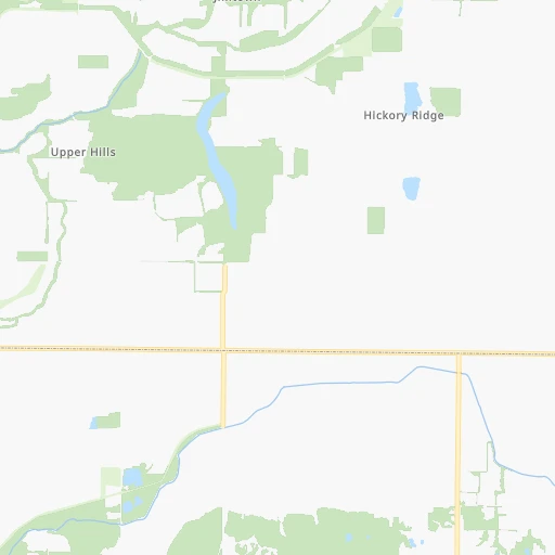
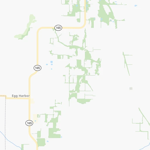
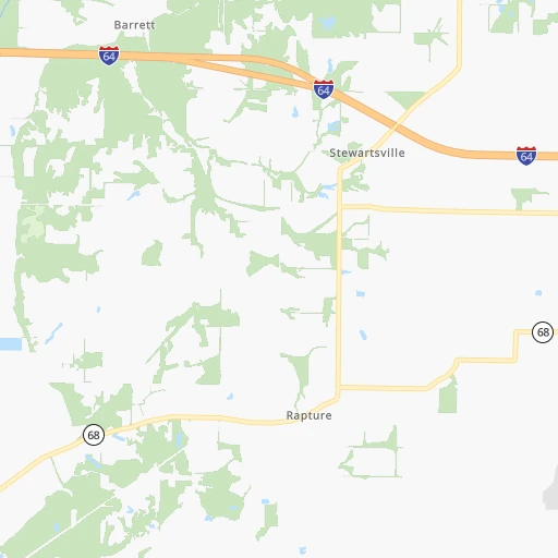
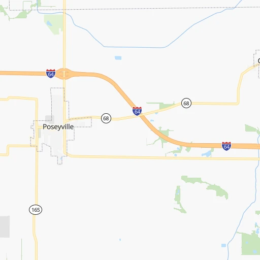
Roadmap (route) to go from Ralph E. Koch Airport to Richmond detailed above, you can also see the course layout on the map.
While doing trip Ralph E. Koch (airport) - Richmond by car, the calculated route ends at a distance , or more straight.
Distance and duration of the route between Ralph E. Koch (airport) and Richmond
Calculation of distance and route from Richmond to Ralph E. Koch (airport) :
307.2381.7 km4h4mn
Continue 0h0mn 89 mTurn left onto County Road 1000 South 0h2mn 771 mTurn sharp left onto State Road 165 0h3mn 3.0 kmTurn left 0h17mn 28.3 kmKeep right toward I 69 North, SR 57 North 1h13mn 124.7 kmKeep right toward SR 45 0h1mn 617 mTurn left onto SR 45 0h4mn 5.3 kmTurn left onto SR 45, SR 54 0h18mn 21.7 kmKeep left onto SR 45 1h46mn 73.4 kmKeep right onto SR 37 toward I 465 East, I 74 East, SR 37 North 0h16mn 21.4 kmKeep right and take I 70 East toward Dayton 1h57mn 95.9 kmKeep right and drive toward Williamsburg Pike, Tom Raper Way 0h3mn 2.9 kmContinue onto Northwest 5th Street 0h1mn 1.6 kmTurn left onto Richmond Avenue 0h2mn 1.4 kmTurn right onto North 8th Street 0h1mn 499 mTurn left onto East Main Street 0h0mn 113 mArrive at destination 0h0mn 0 m
Travel from Ralph E. Koch (airport) (Indiana) to a selection of major cities.
Distances from Ralph E. Koch Airport to biggest cities in Indiana
- Columbus,46,690 inhabitants.195 km
- West Lafayette,45,550 inhabitants.258 km
- Portage,36,738 inhabitants.378 km
- Westfield,36,738 inhabitants.249 km
- New Albany,36,732 inhabitants.171 km
- Richmond,35,854 inhabitants.308 km
- Merrillville,35,224 inhabitants.366 km
- Goshen,32,983 inhabitants.410 km
- Valparaiso,32,626 inhabitants.369 km
- Michigan City,31,459 inhabitants.397 km
- Plainfield,30,590 inhabitants.205 km
- Granger,30,465 inhabitants.419 km
- Marion,29,081 inhabitants.319 km
- Crown Point,28,879 inhabitants.359 km
- Schererville,28,791 inhabitants.365 km
- East Chicago,28,699 inhabitants.383 km
- Hobart,28,404 inhabitants.373 km
- Zionsville,26,296 inhabitants.234 km
- Brownsburg,24,996 inhabitants.217 km
- Franklin,24,598 inhabitants.206 km
Other major cities in country :
- Seattle [WA], 684,451 inhabitants. 2,976 km
- Denver [CO], 682,545 inhabitants. 1,497 km
- El Paso [TX], 681,124 inhabitants. 1,847 km
- Detroit [MI], 677,116 inhabitants. 610 km
- Boston [MA], 667,137 inhabitants. 1,490 km
- Memphis [TN], 655,770 inhabitants. 396 km
- New South Memphis [TN], 641,608 inhabitants. 403 km
- Portland [OR], 632,309 inhabitants. 2,980 km
- Oklahoma City [OK], 631,346 inhabitants. 919 km
- Las Vegas [NV], 623,747 inhabitants. 2,428 km
- Baltimore [MD], 621,849 inhabitants. 976 km
- Washington, D.C. [DC], 601,723 inhabitants. 937 km
- Milwaukee [WI], 600,155 inhabitants. 538 km
- South Boston [MA], 571,281 inhabitants. 1,490 km
- Albuquerque [NM], 559,121 inhabitants. 1,718 km
- Tucson [AZ], 531,641 inhabitants. 2,202 km
- Nashville [TN], 530,852 inhabitants. 244 km
- Fresno [CA], 520,052 inhabitants. 2,817 km
- Sacramento [CA], 490,712 inhabitants. 2,926 km
- Kansas City [MO], 475,378 inhabitants. 600 km
Route from Richmond to major cities (United States).
- Distance Richmond New York City929 km
- Distance Richmond Los Angeles3,018 km
- Distance Richmond Chicago323 km
- Distance Richmond Brooklyn934 km
- Distance Richmond Houston1,472 km
- Distance Richmond Queens943 km
- Distance Richmond Philadelphia830 km
- Distance Richmond Phoenix2,519 km
- Distance Richmond Manhattan933 km
- Distance Richmond San Antonio1,698 km
- Distance Richmond San Diego2,985 km
- Distance Richmond The Bronx942 km
- Distance Richmond Dallas1,324 km
- Distance Richmond San Jose3,209 km
- Distance Richmond Austin1,580 km
- Distance Richmond Jacksonville1,097 km
- Distance Richmond San Francisco3,240 km
- Distance Richmond Columbus162 km
- Distance Richmond Fort Worth1,365 km
- Distance Richmond Charlotte624 km
Nearest cities to Ralph E. Koch (airport) :
- Indianapolis, 829,718 inhabitants. 223 km
- Nashville, 530,852 inhabitants. 244 km
- St. Louis, 315,685 inhabitants. 217 km
- Fort Wayne, 260,326 inhabitants. 396 km
- Louisville, 243,639 inhabitants. 176 km
- Clarksville, 149,176 inhabitants. 190 km
- Murfreesboro, 126,118 inhabitants. 290 km
- Evansville, 119,943 inhabitants. 32 km
- Springfield, 116,565 inhabitants. 240 km
- Peoria, 115,070 inhabitants. 318 km
- North Peoria, 113,004 inhabitants. 320 km
- Carmel, 88,713 inhabitants. 244 km
- Champaign, 86,096 inhabitants. 216 km
- O'Fallon, 85,040 inhabitants. 264 km
- Bloomington, 84,067 inhabitants. 152 km
- Bloomington, 78,292 inhabitants. 274 km
- Fishers, 76,794 inhabitants. 247 km
- Jonesboro, 73,907 inhabitants. 370 km
- Decatur, 73,254 inhabitants. 208 km
- Franklin, 72,639 inhabitants. 267 km
- Lafayette, 71,111 inhabitants. 258 km
- Muncie, 70,087 inhabitants. 302 km
- Jackson, 66,975 inhabitants. 303 km
- Saint Charles, 65,794 inhabitants. 244 km
- Bowling Green, 63,616 inhabitants. 179 km
- Terre Haute, 60,825 inhabitants. 144 km
- Noblesville, 59,093 inhabitants. 255 km
- Owensboro, 59,042 inhabitants. 75 km
- Kokomo, 57,995 inhabitants. 290 km
- Hendersonville, 56,018 inhabitants. 235 km
- Greenwood, 55,586 inhabitants. 213 km
- Anderson, 55,305 inhabitants. 278 km
- Normal, 54,373 inhabitants. 277 km
- Saint Peters, 52,575 inhabitants. 257 km
- Florissant, 52,268 inhabitants. 231 km
- Chesterfield, 47,864 inhabitants. 250 km
- Lawrence, 47,809 inhabitants. 236 km
- Jeffersonville, 46,960 inhabitants. 178 km
- Columbus, 46,690 inhabitants. 195 km
- Smyrna, 46,607 inhabitants. 272 km
- West Lafayette, 45,550 inhabitants. 258 km
- Urbana, 42,311 inhabitants. 215 km
- Belleville, 42,034 inhabitants. 196 km
- Brentwood, 41,763 inhabitants. 258 km
- Cape Girardeau, 39,462 inhabitants. 183 km
- Columbia, 36,800 inhabitants. 296 km
- Westfield, 36,738 inhabitants. 249 km
- New Albany, 36,732 inhabitants. 171 km
- Oakville, 36,143 inhabitants. 223 km
- Spring Hill, 36,055 inhabitants. 284 km
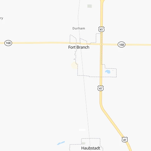
Location Ralph E. Koch (airport) (Indiana) :
| Country flag |  |
| Location | Ralph E. Koch (airport) |
| State | Indiana |
| County | Gibson County |
| Country | United States |
| Country code / ISO 2 | US |
| Latitude | 38.2081100 |
| Longitude | -87.7738400 |
| Altitude | 133 meters |
| Time zone | America/Chicago |
Location Richmond (Indiana) :
| Country flag | |
| Location | Richmond |
| State | Indiana |
| County | Wayne County |
| Country | United States |
| Country code / ISO 2 | US |
| Latitude | 39.8289400 |
| Longitude | -84.8902400 |
| Altitude | 299 meters |
| Time zone | America/Indiana/Indianapolis |


