

How to get from Mortimer Brown Landing (airport) (Vermont) to Astoria (New York)
Calculate route from Mortimer Brown Landing (airport) (Vermont, United States) to Astoria (New York, United States).
The flight distance (as the crow flies) between Mortimer Brown Landing (airport) and Astoria is 327.6 km.
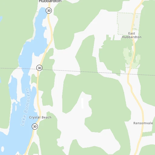
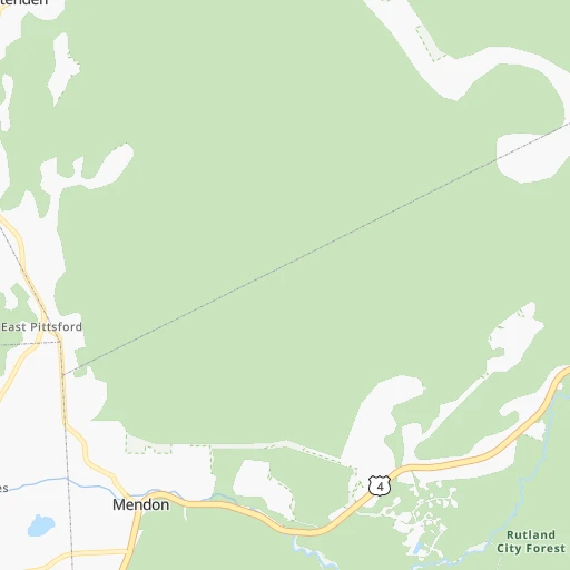
Roadmap (route) to go from Mortimer Brown Landing Airport to Astoria detailed above, you can also see the course layout on the map.
While doing trip Mortimer Brown Landing (airport) - Astoria by car, the calculated route ends at a distance , or more straight.
Distance and duration of the route between Mortimer Brown Landing (airport) and Astoria
Calculation of distance and route from Astoria to Mortimer Brown Landing (airport) :
327.6368.8 km5h50mn
Continue onto Barker Hill Road 0h4mn 2.2 kmTurn right onto Stables Road 0h2mn 827 mKeep left onto North Road 0h2mn 811 mTurn sharp left onto Vermont Route 30 North 0h16mn 16.8 kmTurn right onto Main Street 0h1mn 548 mTurn left onto College Street South 0h0mn 194 mTurn slight right onto Bentley Avenue 0h2mn 1.8 kmTurn left onto State Highway 22A 0h8mn 9.0 kmTurn right onto Slyboro Road 0h9mn 8.5 kmTurn left onto State Highway 40 0h19mn 20.9 kmTurn left onto Main Street 0h12mn 15.5 kmAt roundabout, take exit 1 onto NY 29, NY 40 0h2mn 1.6 kmTurn left onto NY 40 1h31mn 37.2 kmTurn right onto Plank Road 0h0mn 141 mTurn left onto Oakwood Avenue 0h7mn 5.6 kmTurn right onto Hoosick Street 0h0mn 156 mContinue onto Hoosick Street 0h0mn 344 mTurn left onto River Street 0h1mn 585 mTurn sharp right onto Bridge Avenue 0h1mn 595 mTurn left onto Lower Hudson Avenue 0h1mn 679 mTurn left 0h9mn 11.9 kmKeep right and take NY 32 toward South Pearl Street, Port of Albany 0h1mn 571 mTurn slight left onto South Pearl Street 0h10mn 11.7 kmKeep right toward I 90 0h0mn 359 mKeep left 2h47mn 168.1 kmKeep right onto NY 17 and take I 287 South, NJ 17 South toward New Jersey 0h2mn 2.2 kmKeep left onto NJ 17 and take NJ 17 South toward Mahwah 0h18mn 22.7 kmKeep right and take NJ 4, GSP South toward Paterson, Fort Lee, New York 0h0mn 172 mKeep left and take NJ 4 East toward Fort Lee, New York 0h10mn 11.5 kmKeep left and take I 95 North toward George Washington Bridge 0h1mn 1.5 kmKeep right onto I 95, US 1, US 9 0h0mn 27 mKeep left onto I 95, US 1, US 9 0h2mn 2.9 kmKeep right and drive toward Harlem River Drive 0h0mn 199 mKeep left and drive toward Harlem River Drive 0h3mn 4.2 kmKeep left and drive toward 2nd Avenue, East 125th Street 0h1mn 838 mTurn left onto East 125th Street 0h0mn 16 mKeep right and take I 278 toward Robert F. Kennedy Bridge, Bronx, Queens, Randalls lsland 0h1mn 820 mKeep right and take I 278 West toward Queens, Airports, Citi Field 0h4mn 3.4 kmKeep right onto I 278 Truck and drive toward 31st Street, Astoria Boulevard 0h0mn 61 mKeep right 0h0mn 240 mTurn slight right onto 29th Street 0h0mn 96 mTurn right onto Astoria Boulevard 0h1mn 579 mTurn left onto 21st Street 0h0mn 306 mTurn right onto 30th Avenue 0h0mn 344 mTurn sharp right onto 12th Street 0h0mn 118 mArrive at destination 0h0mn 0 m
Travel from Mortimer Brown Landing (airport) (New York) to a selection of major cities.
Distances from Mortimer Brown Landing Airport to biggest cities in Vermont
Other major cities in country :
- Charlotte [NC], 827,097 inhabitants. 1,147 km
- Seattle [WA], 684,451 inhabitants. 3,787 km
- Denver [CO], 682,545 inhabitants. 2,664 km
- El Paso [TX], 681,124 inhabitants. 3,192 km
- Detroit [MI], 677,116 inhabitants. 817 km
- Boston [MA], 667,137 inhabitants. 225 km
- Memphis [TN], 655,770 inhabitants. 1,729 km
- New South Memphis [TN], 641,608 inhabitants. 1,734 km
- Portland [OR], 632,309 inhabitants. 3,867 km
- Oklahoma City [OK], 631,346 inhabitants. 2,269 km
- Las Vegas [NV], 623,747 inhabitants. 3,638 km
- Baltimore [MD], 621,849 inhabitants. 565 km
- Washington, D.C. [DC], 601,723 inhabitants. 622 km
- Milwaukee [WI], 600,155 inhabitants. 1,194 km
- South Boston [MA], 571,281 inhabitants. 227 km
- Albuquerque [NM], 559,121 inhabitants. 3,012 km
- Tucson [AZ], 531,641 inhabitants. 3,515 km
- Nashville [TN], 530,852 inhabitants. 1,428 km
- Fresno [CA], 520,052 inhabitants. 3,983 km
- Sacramento [CA], 490,712 inhabitants. 4,034 km
Route from Astoria to major cities (United States).
- Distance Astoria Los Angeles3,946 km
- Distance Astoria Chicago1,152 km
- Distance Astoria Houston2,292 km
- Distance Astoria Philadelphia139 km
- Distance Astoria Phoenix3,454 km
- Distance Astoria San Antonio2,556 km
- Distance Astoria San Diego3,918 km
- Distance Astoria Dallas2,217 km
- Distance Astoria San Jose4,112 km
- Distance Astoria Austin2,443 km
- Distance Astoria Jacksonville1,355 km
- Distance Astoria San Francisco4,139 km
- Distance Astoria Columbus774 km
- Distance Astoria Fort Worth2,261 km
- Distance Astoria Indianapolis1,044 km
- Distance Astoria Charlotte865 km
- Distance Astoria Seattle3,872 km
- Distance Astoria Denver2,627 km
- Distance Astoria El Paso3,069 km
- Distance Astoria Detroit779 km
Nearest cities to Mortimer Brown Landing (airport) :
- New York City, 8,175,133 inhabitants. 336 km
- Queens, 2,272,771 inhabitants. 337 km
- Manhattan, 1,487,536 inhabitants. 328 km
- The Bronx, 1,385,108 inhabitants. 319 km
- Boston, 667,137 inhabitants. 225 km
- South Boston, 571,281 inhabitants. 227 km
- Newark, 281,944 inhabitants. 337 km
- Jersey City, 264,290 inhabitants. 336 km
- Jamaica, 216,866 inhabitants. 335 km
- Yonkers, 201,116 inhabitants. 310 km
- Worcester, 184,815 inhabitants. 192 km
- Harlem, 181,259 inhabitants. 325 km
- Providence, 179,207 inhabitants. 250 km
- East New York, 173,198 inhabitants. 339 km
- Springfield, 154,341 inhabitants. 180 km
- Washington Heights, 152,613 inhabitants. 320 km
- Astoria, 150,165 inhabitants. 328 km
- Paterson, 147,754 inhabitants. 317 km
- Bridgeport, 147,629 inhabitants. 278 km
- Syracuse, 144,142 inhabitants. 251 km
- New Haven, 130,322 inhabitants. 263 km
- Stamford, 128,874 inhabitants. 292 km
- Hartford, 124,006 inhabitants. 215 km
- North Stamford, 121,230 inhabitants. 283 km
- East Harlem, 115,921 inhabitants. 326 km
- Elmhurst, 113,364 inhabitants. 331 km
- Bushwick, 112,620 inhabitants. 337 km
- Lowell, 110,699 inhabitants. 189 km
- Cambridge, 110,402 inhabitants. 221 km
- Manchester, 110,229 inhabitants. 157 km
- Corona, 109,698 inhabitants. 330 km
- Waterbury, 108,802 inhabitants. 235 km
- Richmond Hill, 98,984 inhabitants. 335 km
- Albany, 98,469 inhabitants. 123 km
- Brockton, 95,314 inhabitants. 248 km
- New Bedford, 94,958 inhabitants. 291 km
- Fordham, 94,678 inhabitants. 318 km
- West Albany, 93,794 inhabitants. 120 km
- Quincy, 93,618 inhabitants. 236 km
- Lynn, 92,457 inhabitants. 224 km
- Newton, 88,817 inhabitants. 217 km
- Fall River, 88,777 inhabitants. 274 km
- Norwalk, 88,485 inhabitants. 284 km
- Nashua, 87,970 inhabitants. 170 km
- Greenburgh, 86,764 inhabitants. 298 km
- Clifton, 86,334 inhabitants. 323 km
- Danbury, 84,657 inhabitants. 254 km
- East Norwalk, 84,530 inhabitants. 286 km
- Warwick, 81,699 inhabitants. 261 km
- Cranston, 81,073 inhabitants. 253 km
Location Mortimer Brown Landing (airport) (Vermont) :
| Country flag |  |
| Location | Mortimer Brown Landing (airport) |
| State | Vermont |
| County | Rutland County |
| Country | United States |
| Country code / ISO 2 | US |
| Latitude | 43.6655200 |
| Longitude | -73.1654700 |
| Altitude | 262 meters |
| Time zone | America/New_York |
Location Astoria (New York) :
| Country flag | |
| Location | Astoria |
| State | New York |
| County | Queens County |
| Country | United States |
| Country code / ISO 2 | US |
| Latitude | 40.7720500 |
| Longitude | -73.9301400 |
| Altitude | 7 meters |
| Time zone | America/New_York |


