
How to get from Hungry Ridge Ranch (airport) (Idaho) to Middleton (Idaho)
Calculate route from Hungry Ridge Ranch (airport) (Idaho, United States) to Middleton (Idaho, United States).
The flight distance (as the crow flies) between Hungry Ridge Ranch (airport) and Middleton is 236.9 km.
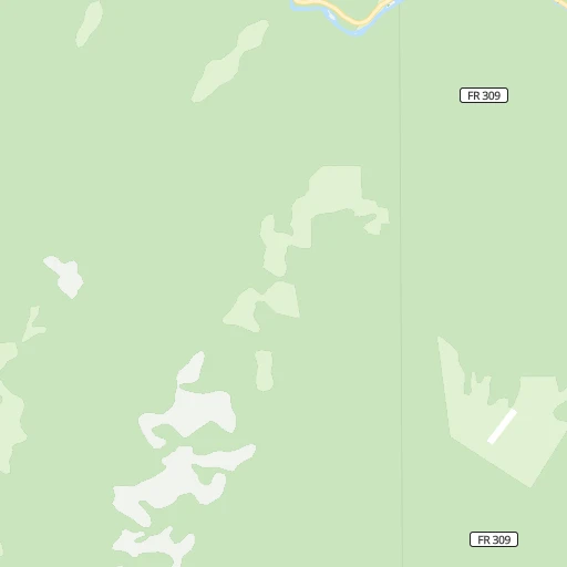
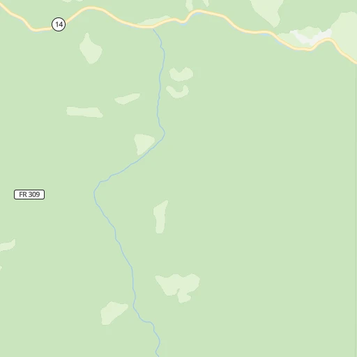
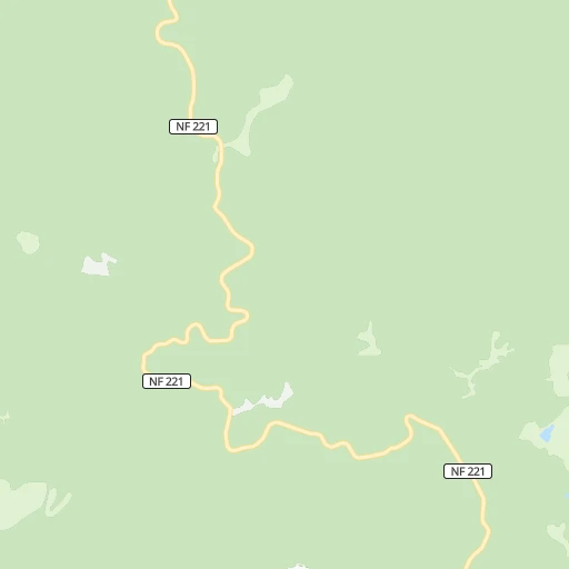
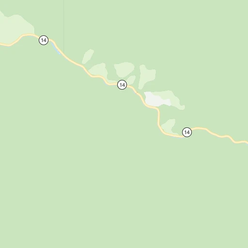
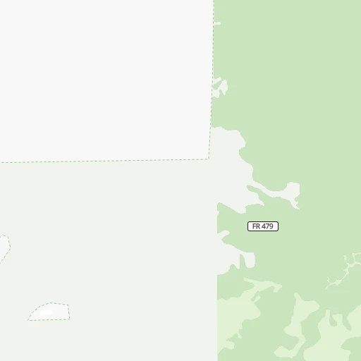
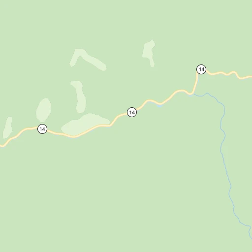
Roadmap (route) to go from Hungry Ridge Ranch Airport to Middleton detailed above, you can also see the course layout on the map.
While doing trip Hungry Ridge Ranch (airport) - Middleton by car, the calculated route ends at a distance , or more straight.
Distance and duration of the route between Hungry Ridge Ranch (airport) and Middleton
Calculation of distance and route from Middleton to Hungry Ridge Ranch (airport) :
236.9335.8 km5h13mn
Continue onto Hungry Ridge Road 0h1mn 354 mTurn right onto Hungry Ridge Road 1h42mn 21.0 kmTurn left onto Grangeville-Salmon Road 0h3mn 2.7 kmTurn right onto Slate Creek Road 1h54mn 26.9 kmTurn sharp left onto Old US Highway 95 0h3mn 1.5 kmTurn left onto US 95 1h13mn 85.0 kmKeep right onto Virginia Street 1h53mn 74.9 kmTurn left onto Superior Street 1h49mn 71.4 kmTurn left onto US 95 0h9mn 10.0 kmTurn left 0h18mn 34.5 kmKeep right and take ID 44 toward Middleton 0h1mn 797 mTurn left onto ID 44 0h6mn 6.5 kmTurn sharp left onto North Dewey Avenue 0h0mn 70 mTurn left 0h0mn 40 mArrive at destination 0h0mn 0 m
Travel from Hungry Ridge Ranch (airport) (Idaho) to a selection of major cities.
Distances from Hungry Ridge Ranch Airport to biggest cities in Idaho
Other major cities in country :
- Charlotte [NC], 827,097 inhabitants. 3,163 km
- Seattle [WA], 684,451 inhabitants. 529 km
- Denver [CO], 682,545 inhabitants. 1,118 km
- El Paso [TX], 681,124 inhabitants. 1,761 km
- Detroit [MI], 677,116 inhabitants. 2,640 km
- Boston [MA], 667,137 inhabitants. 3,562 km
- Memphis [TN], 655,770 inhabitants. 2,476 km
- New South Memphis [TN], 641,608 inhabitants. 2,479 km
- Portland [OR], 632,309 inhabitants. 525 km
- Oklahoma City [OK], 631,346 inhabitants. 1,926 km
- Las Vegas [NV], 623,747 inhabitants. 1,072 km
- Baltimore [MD], 621,849 inhabitants. 3,271 km
- Washington, D.C. [DC], 601,723 inhabitants. 3,257 km
- Milwaukee [WI], 600,155 inhabitants. 2,238 km
- South Boston [MA], 571,281 inhabitants. 3,564 km
- Albuquerque [NM], 559,121 inhabitants. 1,425 km
- Tucson [AZ], 531,641 inhabitants. 1,570 km
- Nashville [TN], 530,852 inhabitants. 2,655 km
- Fresno [CA], 520,052 inhabitants. 1,055 km
- Sacramento [CA], 490,712 inhabitants. 923 km
Route from Middleton to major cities (United States).
- Distance Middleton New York City3,491 km
- Distance Middleton Los Angeles1,084 km
- Distance Middleton Chicago2,364 km
- Distance Middleton Brooklyn3,498 km
- Distance Middleton Houston2,438 km
- Distance Middleton Queens3,505 km
- Distance Middleton Philadelphia3,428 km
- Distance Middleton Phoenix1,208 km
- Distance Middleton Manhattan3,491 km
- Distance Middleton San Antonio2,261 km
- Distance Middleton San Diego1,224 km
- Distance Middleton The Bronx3,497 km
- Distance Middleton Dallas2,108 km
- Distance Middleton San Jose837 km
- Distance Middleton Austin2,239 km
- Distance Middleton Jacksonville3,412 km
- Distance Middleton San Francisco821 km
- Distance Middleton Columbus2,800 km
- Distance Middleton Fort Worth2,076 km
- Distance Middleton Indianapolis2,553 km
Nearest cities to Hungry Ridge Ranch (airport) :
- Spokane, 213,272 inhabitants. 238 km
- Boise, 145,987 inhabitants. 242 km
- Spokane Valley, 94,919 inhabitants. 233 km
- Meridian, 90,739 inhabitants. 244 km
- Nampa, 89,839 inhabitants. 254 km
- Missoula, 71,022 inhabitants. 192 km
- Caldwell, 51,686 inhabitants. 243 km
- Coeur d'Alene, 49,122 inhabitants. 221 km
- Pullman, 32,816 inhabitants. 142 km
- Lewiston, 32,544 inhabitants. 109 km
- Walla Walla, 32,237 inhabitants. 189 km
- Lewiston Orchards, 31,422 inhabitants. 104 km
- Post Falls, 30,453 inhabitants. 229 km
- Opportunity, 25,877 inhabitants. 230 km
- Moscow, 25,060 inhabitants. 134 km
- Eagle, 23,612 inhabitants. 235 km
- Kalispell, 22,052 inhabitants. 296 km
- Kuna, 17,226 inhabitants. 258 km
- Pendleton, 16,881 inhabitants. 222 km
- Hayden, 14,133 inhabitants. 230 km
- Mountain Home, 13,730 inhabitants. 296 km
- La Grande, 13,074 inhabitants. 175 km
- Garden City, 11,550 inhabitants. 242 km
- Cheney, 11,534 inhabitants. 227 km
- Ontario, 10,999 inhabitants. 212 km
- Veradale, 9,991 inhabitants. 229 km
- Dishman, 9,978 inhabitants. 233 km
- Baker City, 9,752 inhabitants. 186 km
- Anaconda, 9,417 inhabitants. 235 km
- College Place, 9,062 inhabitants. 192 km
- Liberty Lake, 8,906 inhabitants. 229 km
- Hailey, 8,134 inhabitants. 283 km
- Fairwood, 7,905 inhabitants. 248 km
- Sandpoint, 7,835 inhabitants. 281 km
- Star, 7,797 inhabitants. 237 km
- Evergreen, 7,616 inhabitants. 300 km
- Rathdrum, 7,538 inhabitants. 237 km
- Payette, 7,380 inhabitants. 205 km
- Clarkston, 7,317 inhabitants. 111 km
- Mead, 7,275 inhabitants. 246 km
- Whitefish, 7,073 inhabitants. 317 km
- Milton-Freewater, 7,035 inhabitants. 191 km
- Middleton, 6,828 inhabitants. 237 km
- Airway Heights, 6,639 inhabitants. 243 km
- Emmett, 6,604 inhabitants. 217 km
- Clarkston Heights-Vineland, 6,326 inhabitants. 111 km
- Otis Orchards-East Farms, 6,220 inhabitants. 232 km
- Country Homes, 5,841 inhabitants. 246 km
- Connell, 5,446 inhabitants. 246 km
- Weiser, 5,317 inhabitants. 189 km
Location Hungry Ridge Ranch (airport) (Idaho) :
| Country flag |  |
| Location | Hungry Ridge Ranch (airport) |
| State | Idaho |
| County | Idaho County |
| Country | United States |
| Country code / ISO 2 | US |
| Latitude | 45.7829600 |
| Longitude | -115.9375900 |
| Altitude | 1401 meters |
| Time zone | America/Los_Angeles |
Location Middleton (Idaho) :
| Country flag | |
| Location | Middleton |
| State | Idaho |
| County | Canyon County |
| Country | United States |
| Country code / ISO 2 | US |
| Latitude | 43.7068300 |
| Longitude | -116.6201400 |
| Altitude | 731 meters |
| Time zone | America/Boise |
