


How to get from Linda's Roost (airport) (Idaho) to West Haven (Utah)
Calculate route from Linda's Roost (airport) (Idaho, United States) to West Haven (Utah, United States).
The flight distance (as the crow flies) between Linda's Roost (airport) and West Haven is 332.8 km.
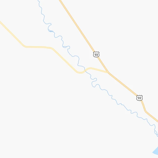
Roadmap (route) to go from Linda's Roost Airport to West Haven detailed above, you can also see the course layout on the map.
While doing trip Linda's Roost (airport) - West Haven by car, the calculated route ends at a distance , or more straight.
Distance and duration of the route between Linda's Roost (airport) and West Haven
Calculation of distance and route from West Haven to Linda's Roost (airport) :
332.8387.3 km4h18mn
Continue 0h2mn 625 mTurn slight right 0h2mn 720 mTurn right onto Loop Road 0h1mn 575 mTurn sharp left onto US 93 1h8mn 84.7 kmKeep left onto US 20, US 26 0h0mn 294 mTurn right onto US 26 1h48mn 54.6 kmTurn right 2h5mn 235.6 kmKeep right 0h0mn 476 mTurn right onto Pioneer Road 0h0mn 87 mTurn sharp left onto 1900 West 0h7mn 7.1 kmTurn right onto Midland Drive 0h0mn 317 mTurn right onto 3300 South 0h2mn 1.9 kmTurn left 0h1mn 317 mTurn left 0h0mn 125 mArrive at destination 0h0mn 0 m
Travel from Linda's Roost (airport) (Utah) to a selection of major cities.
Distances from Linda's Roost Airport to biggest cities in Idaho
Other major cities in country :
- Charlotte [NC], 827,097 inhabitants. 2,954 km
- Seattle [WA], 684,451 inhabitants. 786 km
- Denver [CO], 682,545 inhabitants. 858 km
- El Paso [TX], 681,124 inhabitants. 1,495 km
- Detroit [MI], 677,116 inhabitants. 2,478 km
- Boston [MA], 667,137 inhabitants. 3,424 km
- Memphis [TN], 655,770 inhabitants. 2,240 km
- New South Memphis [TN], 641,608 inhabitants. 2,243 km
- Portland [OR], 632,309 inhabitants. 734 km
- Oklahoma City [OK], 631,346 inhabitants. 1,669 km
- Las Vegas [NV], 623,747 inhabitants. 876 km
- Baltimore [MD], 621,849 inhabitants. 3,099 km
- Washington, D.C. [DC], 601,723 inhabitants. 3,081 km
- Milwaukee [WI], 600,155 inhabitants. 2,073 km
- South Boston [MA], 571,281 inhabitants. 3,426 km
- Albuquerque [NM], 559,121 inhabitants. 1,155 km
- Tucson [AZ], 531,641 inhabitants. 1,328 km
- Nashville [TN], 530,852 inhabitants. 2,434 km
- Fresno [CA], 520,052 inhabitants. 955 km
- Sacramento [CA], 490,712 inhabitants. 888 km
Route from West Haven to major cities (United States).
- Distance West Haven New York City3,173 km
- Distance West Haven Los Angeles965 km
- Distance West Haven Chicago2,028 km
- Distance West Haven Brooklyn3,179 km
- Distance West Haven Houston1,971 km
- Distance West Haven Queens3,188 km
- Distance West Haven Philadelphia3,098 km
- Distance West Haven Phoenix863 km
- Distance West Haven Manhattan3,174 km
- Distance West Haven San Antonio1,794 km
- Distance West Haven San Diego1,048 km
- Distance West Haven The Bronx3,181 km
- Distance West Haven Dallas1,644 km
- Distance West Haven San Jose950 km
- Distance West Haven Austin1,771 km
- Distance West Haven Jacksonville2,980 km
- Distance West Haven San Francisco968 km
- Distance West Haven Columbus2,449 km
- Distance West Haven Fort Worth1,611 km
- Distance West Haven Indianapolis2,190 km
Nearest cities to Linda's Roost (airport) :
- Boise, 145,987 inhabitants. 209 km
- Meridian, 90,739 inhabitants. 224 km
- Nampa, 89,839 inhabitants. 239 km
- Ogden, 85,444 inhabitants. 334 km
- Layton, 74,143 inhabitants. 351 km
- Missoula, 71,022 inhabitants. 326 km
- Idaho Falls, 59,184 inhabitants. 141 km
- Pocatello, 54,441 inhabitants. 155 km
- Logan, 50,371 inhabitants. 288 km
- Twin Falls, 47,468 inhabitants. 169 km
- Bozeman, 43,405 inhabitants. 281 km
- Roy, 37,964 inhabitants. 338 km
- Butte, 34,190 inhabitants. 244 km
- Butte-Silver Bow (Balance), 33,525 inhabitants. 230 km
- Clearfield, 30,653 inhabitants. 344 km
- Helena, 30,581 inhabitants. 319 km
- Kaysville, 30,472 inhabitants. 354 km
- Rexburg, 27,663 inhabitants. 150 km
- Syracuse, 27,395 inhabitants. 345 km
- Eagle, 23,612 inhabitants. 219 km
- Farmington, 22,566 inhabitants. 362 km
- Clinton, 21,399 inhabitants. 340 km
- Brigham City, 18,752 inhabitants. 303 km
- North Ogden, 18,446 inhabitants. 326 km
- Kuna, 17,226 inhabitants. 229 km
- South Ogden, 16,955 inhabitants. 337 km
- Ammon, 14,960 inhabitants. 146 km
- Chubbuck, 14,428 inhabitants. 150 km
- Mountain Home, 13,730 inhabitants. 189 km
- Evanston, 12,133 inhabitants. 371 km
- West Haven, 11,921 inhabitants. 333 km
- Blackfoot, 11,740 inhabitants. 135 km
- Garden City, 11,550 inhabitants. 211 km
- Jerome, 11,184 inhabitants. 154 km
- Smithfield, 10,782 inhabitants. 279 km
- Jackson, 10,523 inhabitants. 238 km
- Burley, 10,436 inhabitants. 159 km
- West Point, 10,345 inhabitants. 341 km
- North Logan, 10,181 inhabitants. 286 km
- Anaconda, 9,417 inhabitants. 248 km
- Pleasant View, 9,273 inhabitants. 324 km
- Washington Terrace, 9,157 inhabitants. 339 km
- Riverdale, 8,666 inhabitants. 338 km
- Helena Valley Southeast, 8,227 inhabitants. 325 km
- Tremonton, 8,227 inhabitants. 278 km
- Hooper, 8,214 inhabitants. 335 km
- Hailey, 8,134 inhabitants. 73 km
- Belgrade, 8,029 inhabitants. 281 km
- Hyrum, 7,962 inhabitants. 297 km
- Helena Valley West Central, 7,883 inhabitants. 326 km
Location Linda's Roost (airport) (Idaho) :
| Country flag |  |
| Location | Linda's Roost (airport) |
| State | Idaho |
| County | Custer County |
| Country | United States |
| Country code / ISO 2 | US |
| Latitude | 43.9580900 |
| Longitude | -113.6478400 |
| Altitude | 1888 meters |
| Time zone | America/Boise |
Location West Haven (Utah) :
| Country flag | |
| Location | West Haven |
| State | Utah |
| County | Weber County |
| Country | United States |
| Country code / ISO 2 | US |
| Latitude | 41.2030000 |
| Longitude | -112.0510500 |
| Altitude | 1302 meters |
| Time zone | America/Denver |


