

How to get from Skeldon (airport) (East Berbice-Corentyne) to New Amsterdam (East Berbice-Corentyne)
Calculate route from Skeldon (airport) (East Berbice-Corentyne, Guyana) to New Amsterdam (East Berbice-Corentyne, Guyana).
The flight distance (as the crow flies) between Skeldon (airport) and New Amsterdam is 59.2 km.
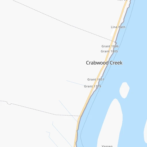
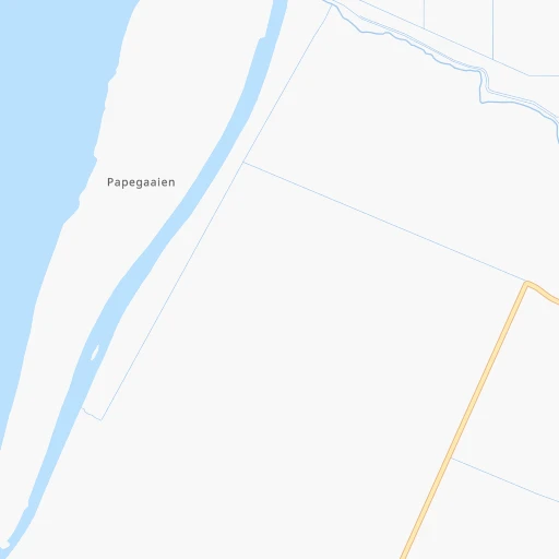
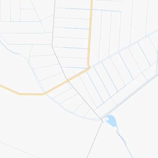
Roadmap (route) to go from Skeldon Airport to New Amsterdam detailed above, you can also see the course layout on the map.
While doing trip Skeldon (airport) - New Amsterdam by car, the calculated route ends at a distance , or more straight.
Distance and duration of the route between Skeldon (airport) and New Amsterdam
Calculation of distance and route from New Amsterdam to Skeldon (airport) :
59.277.3 km1h10mn
Continue onto Corentyne Highway 1h10mn 76.9 kmTurn slight left onto Main Street 0h0mn 241 mTurn left onto Wapping Lane 0h0mn 140 mArrive at destination 0h0mn 0 m
Travel from Skeldon (airport) (East Berbice-Corentyne) to a selection of major cities.
Distances from Skeldon Airport to biggest cities in East Berbice-Corentyne
Other major cities in country :
Route from New Amsterdam to major cities (Guyana).
Nearest cities to Skeldon (airport) :
- Georgetown, 235,017 inhabitants. 153 km
- Linden, 44,690 inhabitants. 129 km
- New Amsterdam, 35,039 inhabitants. 59 km
- Anna Regina, 12,448 inhabitants. 217 km
- Bartica, 11,157 inhabitants. 174 km
- Skeldon, 5,859 inhabitants. 3 km
- Rosignol, 5,782 inhabitants. 63 km
- Mahaica Village, 4,867 inhabitants. 125 km
- Mahdia, 4,200 inhabitants. 231 km
- Parika, 4,081 inhabitants. 179 km
- Vreed-en-Hoop, 3,073 inhabitants. 157 km
Location Skeldon (airport) (East Berbice-Corentyne) :
| Country flag |  |
| Location | Skeldon (airport) |
| State | East Berbice-Corentyne |
| County | |
| Country | Guyana |
| Country code / ISO 2 | GY |
| Latitude | 5.8606000 |
| Longitude | -57.1490300 |
| Altitude | 0 meters |
| Time zone | America/Paramaribo |
Location New Amsterdam (East Berbice-Corentyne) :
| Country flag | |
| Location | New Amsterdam |
| State | East Berbice-Corentyne |
| County | |
| Country | Guyana |
| Country code / ISO 2 | GY |
| Latitude | 6.2479300 |
| Longitude | -57.5171000 |
| Altitude | 0 meters |
| Time zone | America/Guyana |