


How to get from Palopo Lagaligo (airport) (South Sulawesi) to Parepare (South Sulawesi)
Calculate route from Palopo Lagaligo (airport) (South Sulawesi, Indonesia) to Parepare (South Sulawesi, Indonesia).
The flight distance (as the crow flies) between Palopo Lagaligo (airport) and Parepare is 124.0 km.
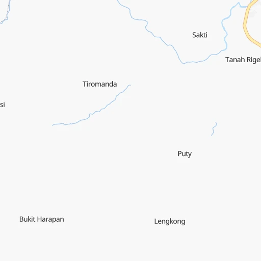
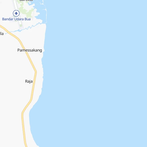
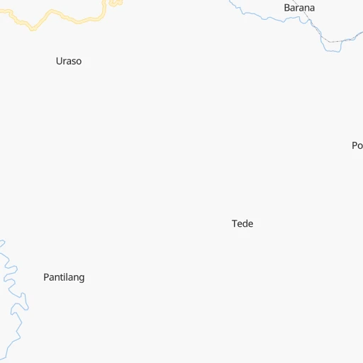
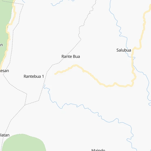
Roadmap (route) to go from Palopo Lagaligo Airport to Parepare detailed above, you can also see the course layout on the map.
While doing trip Palopo Lagaligo (airport) - Parepare by car, the calculated route ends at a distance , or more straight.
Distance and duration of the route between Palopo Lagaligo (airport) and Parepare
Calculation of distance and route from Parepare to Palopo Lagaligo (airport) :
124.0207.2 km3h60mn
Continue 0h2mn 881 mTurn right 0h2mn 800 mTurn left 0h0mn 170 mTurn left 0h27mn 31.4 kmAt roundabout, take exit 1 1h21mn 94.9 kmTurn right 0h15mn 17.0 kmTurn right 0h29mn 34.1 kmAt roundabout, take exit 2 onto Jalan Jenderal Sudirman 0h6mn 7.4 kmContinue onto Jalan Parepare - Rappang 0h18mn 20.4 kmTurn left 0h0mn 100 mArrive at destination 0h0mn 0 m
Travel from Palopo Lagaligo (airport) (South Sulawesi) to a selection of major cities.
Distances from Palopo Lagaligo Airport to biggest cities in South Sulawesi
Other major cities in country :
- Surakarta [07], 555,308 inhabitants. 1,156 km
- Cimahi [30], 493,698 inhabitants. 1,470 km
- Pontianak [11], 455,173 inhabitants. 1,262 km
- Manado [31], 451,893 inhabitants. 722 km
- Balikpapan [14], 433,866 inhabitants. 430 km
- Jambi City [05], 420,323 inhabitants. 1,857 km
- Ambon [28], 355,596 inhabitants. 885 km
- Samarinda [14], 355,160 inhabitants. 450 km
- Mataram [17], 318,674 inhabitants. 764 km
- Percut [26], 311,063 inhabitants. 2,493 km
- Bengkulu [03], 309,712 inhabitants. 1,999 km
- Jember [08], 298,585 inhabitants. 920 km
- Palu [21], 282,431 inhabitants. 246 km
- Kupang [18], 282,396 inhabitants. 872 km
- Sukabumi [30], 276,414 inhabitants. 1,537 km
- Tasikmalaya [30], 271,143 inhabitants. 1,414 km
- Pekalongan [07], 257,945 inhabitants. 1,246 km
- Cirebon [30], 254,298 inhabitants. 1,357 km
- Banda Aceh [01], 250,757 inhabitants. 2,932 km
- Tegal [07], 237,084 inhabitants. 1,301 km
Route from Parepare to major cities (Indonesia).
- Distance Parepare Jakarta1,438 km
- Distance Parepare Surabaya842 km
- Distance Parepare Medan2,480 km
- Distance Parepare Bandung1,370 km
- Distance Parepare Bekasi1,423 km
- Distance Parepare Palembang1,658 km
- Distance Parepare Tangerang1,461 km
- Distance Parepare South Tangerang1,453 km
- Distance Parepare Semarang1,072 km
- Distance Parepare Depok1,444 km
- Distance Parepare Padang2,170 km
- Distance Parepare Denpasar710 km
- Distance Parepare Bandar Lampung1,601 km
- Distance Parepare Bogor1,451 km
- Distance Parepare Malang891 km
- Distance Parepare Pekanbaru2,085 km
- Distance Parepare City of Balikpapan433 km
- Distance Parepare Yogyakarta1,109 km
- Distance Parepare Situbondo745 km
- Distance Parepare Banjarmasin565 km
Nearest cities to Palopo Lagaligo (airport) :
- Makassar, 1,321,717 inhabitants. 247 km
- Palu, 282,431 inhabitants. 246 km
- Kendari, 195,006 inhabitants. 271 km
- Parepare, 140,000 inhabitants. 124 km
- Palopo, 129,273 inhabitants. 12 km
- Galesong, 83,050 inhabitants. 267 km
- Watampone, 81,629 inhabitants. 162 km
- Sengkang, 59,523 inhabitants. 119 km
- Polewali, 58,190 inhabitants. 107 km
- Luwuk, 47,778 inhabitants. 369 km
- Poso, 47,110 inhabitants. 196 km
- Katabu, 42,750 inhabitants. 326 km
- Sinjai, 40,797 inhabitants. 227 km
- Rantepao, 40,438 inhabitants. 41 km
- Majene, 37,715 inhabitants. 150 km
- Maros, 30,000 inhabitants. 227 km
- Mamuju, 15,000 inhabitants. 158 km
Location Palopo Lagaligo (airport) (South Sulawesi) :
| Country flag |  |
| Location | Palopo Lagaligo (airport) |
| State | South Sulawesi |
| County | |
| Country | Indonesia |
| Country code / ISO 2 | ID |
| Latitude | -3.0846400 |
| Longitude | 120.2451900 |
| Altitude | 0 meters |
| Time zone | Asia/Makassar |
Location Parepare (South Sulawesi) :
| Country flag | |
| Location | Parepare |
| State | South Sulawesi |
| County | |
| Country | Indonesia |
| Country code / ISO 2 | ID |
| Latitude | -4.0135000 |
| Longitude | 119.6255000 |
| Altitude | 0 meters |
| Time zone | Asia/Makassar |
