
How to get from Estación General Lemos (Buenos Aires) to Gualeguay (Entre Rios)
Calculate route from Estación General Lemos (Buenos Aires, Argentina) to Gualeguay (Entre Rios, Argentina).
The flight distance (as the crow flies) between Estación General Lemos and Gualeguay is 164.5 km.
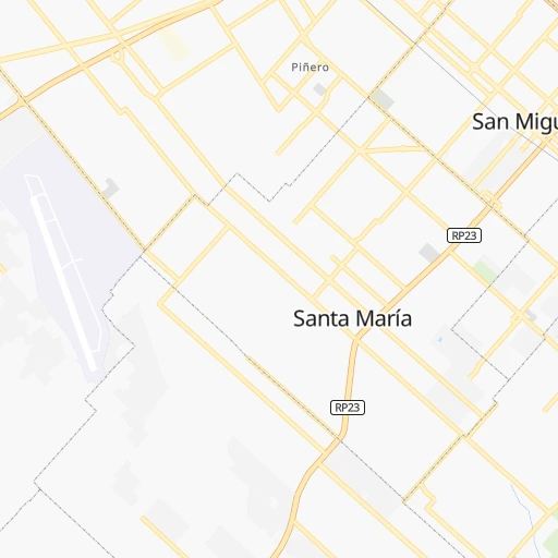
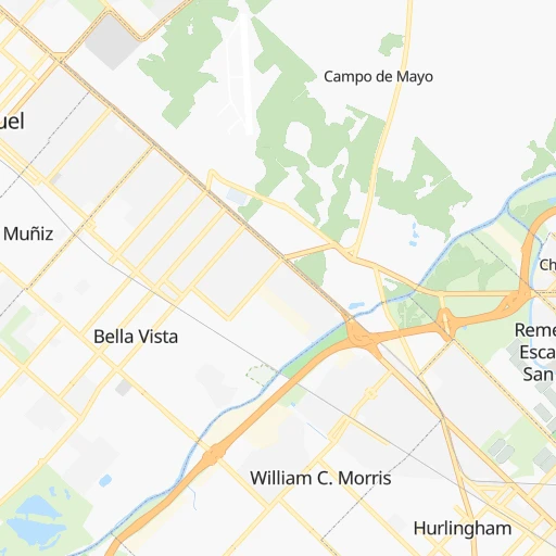
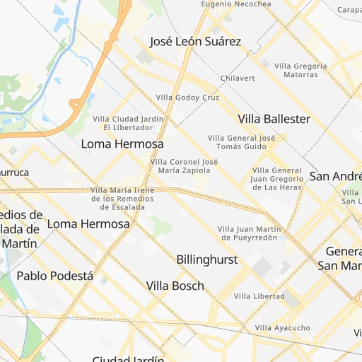
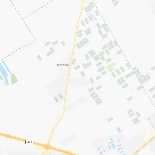
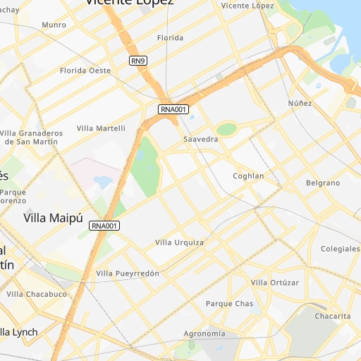
Roadmap (route) to go from Estación General Lemos to Gualeguay detailed above, you can also see the course layout on the map.
While doing trip Estación General Lemos - Gualeguay by car, the calculated route ends at a distance , or more straight.
Distance and duration of the route between Estación General Lemos and Gualeguay
Calculation of distance and route from Gualeguay to Estación General Lemos :
164.5207.6 km3h37mn
Continue 0h0mn 148 mTurn right onto Avenida General Juan Gregorio Lemos 0h1mn 883 mKeep left 0h2mn 1.9 kmTurn right onto Pedro Medrano 0h0mn 205 mTurn left onto Ramos Mejía 0h2mn 1.3 kmTurn right onto Avenida del Sesquicentenario 0h2mn 1.7 kmTurn sharp left onto Chile 0h0mn 211 mTurn slight right onto Boulogne sur Mer 0h1mn 328 mTurn left onto Guayaquil 0h2mn 2.1 kmKeep right onto Hooke 0h1mn 662 mTurn left onto Avenida Olivos 0h1mn 943 mAt roundabout, take exit 2 onto Avenida Olivos 0h0mn 245 mAt roundabout, take exit 2 onto Avenida Olivos 0h0mn 268 mTurn right onto Venezuela 0h1mn 842 mTurn sharp right onto Otto Krause 0h2mn 1.8 kmTurn sharp left onto Colectora Este Panamericana 0h0mn 46 mTurn left toward RN9 0h22mn 40.6 kmKeep right and take RP6 toward Campana, Zárate 0h7mn 8.0 kmAt roundabout, take exit 1 onto Ruta Nacional 12 1h48mn 75.7 kmKeep right and drive toward Médanos, Gualeguay, Paraná 1h3mn 69.3 kmTurn left onto Martín Fierro 0h1mn 411 mTurn left onto Carmen Gadea 0h0mn 18 mArrive at destination 0h0mn 0 m
Travel from Estación General Lemos (Entre Rios) to a selection of major cities.
Distances from Estación General Lemos to biggest cities in Buenos Aires
- San Pedro,47,452 inhabitants.130 km
- Tres Arroyos,47,136 inhabitants.450 km
- San Isidro,45,190 inhabitants.17 km
- Lincoln,41,808 inhabitants.262 km
- Nueve de Julio,34,718 inhabitants.223 km
- Chacabuco,34,587 inhabitants.163 km
- Pontevedra,33,515 inhabitants.24 km
- Tigre,31,106 inhabitants.16 km
- Adrogue,28,265 inhabitants.42 km
- Coronel Suarez,27,000 inhabitants.436 km
- Dolores,25,190 inhabitants.219 km
- Veinticinco de Mayo,24,668 inhabitants.167 km
- Villa Gesell,23,257 inhabitants.342 km
Other major cities in country :
- Balvanera [07], 152,198 inhabitants. 29 km
- Concordia [08], 145,210 inhabitants. 355 km
- Comodoro Rivadavia [04], 140,850 inhabitants. 1,464 km
- Belgrano [07], 138,942 inhabitants. 22 km
- Villa Lugano [07], 114,000 inhabitants. 26 km
- Santa Rosa [11], 111,424 inhabitants. 556 km
- San Rafael [13], 109,163 inhabitants. 882 km
- Villa Mercedes [19], 96,781 inhabitants. 630 km
- San Carlos de Bariloche [16], 95,394 inhabitants. 1,328 km
- Trelew [04], 93,442 inhabitants. 1,126 km
- Villa Maria [05], 92,453 inhabitants. 483 km
- Reconquista [21], 90,184 inhabitants. 606 km
- Rafaela [21], 88,713 inhabitants. 449 km
- Rio Gallegos [20], 85,700 inhabitants. 2,081 km
- San Martin [13], 82,549 inhabitants. 917 km
- Presidencia Roque Saenz Pena [03], 81,879 inhabitants. 878 km
- Gualeguaychu [08], 78,676 inhabitants. 170 km
- Barracas [07], 77,474 inhabitants. 32 km
- Cipolletti [16], 75,078 inhabitants. 962 km
- Gobernador Galvez [21], 74,650 inhabitants. 245 km
Route from Gualeguay to major cities (Argentina).
- Distance Gualeguay Buenos Aires185 km
- Distance Gualeguay Cordoba497 km
- Distance Gualeguay Rosario126 km
- Distance Gualeguay Mendoza889 km
- Distance Gualeguay San Miguel de Tucuman905 km
- Distance Gualeguay La Plata234 km
- Distance Gualeguay Mar del Plata564 km
- Distance Gualeguay Quilmes201 km
- Distance Gualeguay Salta1,103 km
- Distance Gualeguay Santa Fe de la Vera Cruz213 km
- Distance Gualeguay San Juan886 km
- Distance Gualeguay Resistencia633 km
- Distance Gualeguay Santiago del Estero761 km
- Distance Gualeguay Corrientes632 km
- Distance Gualeguay Posadas722 km
- Distance Gualeguay Moron180 km
- Distance Gualeguay San Salvador de Jujuy1,154 km
- Distance Gualeguay Bahia Blanca676 km
- Distance Gualeguay Neuquen1,018 km
- Distance Gualeguay Pilar151 km
Nearest cities to Estación General Lemos :
- Buenos Aires, 13,076,300 inhabitants. 31 km
- Rosario, 1,173,533 inhabitants. 252 km
- La Plata, 694,167 inhabitants. 81 km
- Quilmes, 518,788 inhabitants. 46 km
- Santa Fe de la Vera Cruz, 489,505 inhabitants. 373 km
- Moron, 319,934 inhabitants. 15 km
- Parana, 262,295 inhabitants. 355 km
- Pilar, 226,517 inhabitants. 21 km
- Berazategui, 167,498 inhabitants. 52 km
- Balvanera, 152,198 inhabitants. 29 km
- Belgrano, 138,942 inhabitants. 22 km
- San Nicolas de los Arroyos, 127,742 inhabitants. 193 km
- Villa Lugano, 114,000 inhabitants. 26 km
- Tandil, 104,325 inhabitants. 313 km
- Zarate, 88,781 inhabitants. 57 km
- Pergamino, 87,652 inhabitants. 187 km
- Olavarria, 86,320 inhabitants. 301 km
- Junin, 85,007 inhabitants. 206 km
- Lujan, 81,749 inhabitants. 37 km
- Campana, 81,612 inhabitants. 47 km
- Gualeguaychu, 78,676 inhabitants. 170 km
- Barracas, 77,474 inhabitants. 32 km
- Gobernador Galvez, 74,650 inhabitants. 245 km
- Concepcion del Uruguay, 67,895 inhabitants. 232 km
- Santo Tome, 59,072 inhabitants. 373 km
- Colegiales, 57,000 inhabitants. 23 km
- Chivilcoy, 54,514 inhabitants. 127 km
- Azul, 53,941 inhabitants. 271 km
- Mercedes, 52,949 inhabitants. 68 km
- Boedo, 48,231 inhabitants. 28 km
- San Pedro, 47,452 inhabitants. 130 km
- San Isidro, 45,190 inhabitants. 17 km
- Villa Constitucion, 44,271 inhabitants. 209 km
- Lincoln, 41,808 inhabitants. 262 km
- Retiro, 38,635 inhabitants. 30 km
- Canada de Gomez, 36,000 inhabitants. 314 km
- Nueve de Julio, 34,718 inhabitants. 223 km
- Chacabuco, 34,587 inhabitants. 163 km
- Villa Santa Rita, 34,000 inhabitants. 22 km
- Pontevedra, 33,515 inhabitants. 24 km
- Gualeguay, 33,120 inhabitants. 165 km
- Granadero Baigorria, 32,427 inhabitants. 264 km
- Villaguay, 32,027 inhabitants. 298 km
- Casilda, 32,002 inhabitants. 282 km
- Tigre, 31,106 inhabitants. 16 km
- Adrogue, 28,265 inhabitants. 42 km
- Capitan Bermudez, 27,060 inhabitants. 267 km
- Dolores, 25,190 inhabitants. 219 km
- Victoria, 25,139 inhabitants. 252 km
- Veinticinco de Mayo, 24,668 inhabitants. 167 km
Location Estación General Lemos (Buenos Aires) :
| Country flag |  |
| Location | Estación General Lemos |
| State | Buenos Aires |
| County | Partido de San Miguel |
| Country | Argentina |
| Country code / ISO 2 | AR |
| Latitude | -34.5327600 |
| Longitude | -58.7005700 |
| Altitude | 0 meters |
| Time zone | America/Argentina/Buenos_Aires |
Location Gualeguay (Entre Rios) :
| Country flag | |
| Location | Gualeguay |
| State | Entre Rios |
| County | Departamento de Gualeguay |
| Country | Argentina |
| Country code / ISO 2 | AR |
| Latitude | -33.1415600 |
| Longitude | -59.3096600 |
| Altitude | 0 meters |
| Time zone | America/Argentina/Cordoba |