
How to get from Mmopone (Kweneng) to Ramokgonami (Central)
Calculate route from Mmopone (Kweneng, Botswana) to Ramokgonami (Central, Botswana).
The flight distance (as the crow flies) between Mmopone and Ramokgonami is 246.3 km.
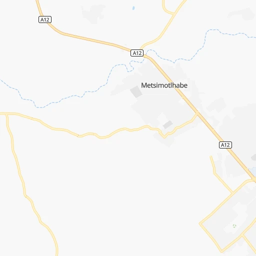
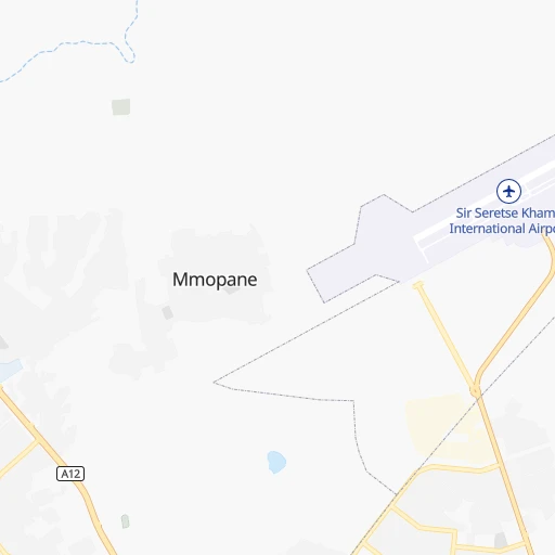
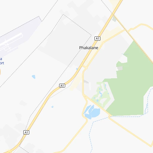
Roadmap (route) to go from Mmopone to Ramokgonami detailed above, you can also see the course layout on the map.
While doing trip Mmopone - Ramokgonami by car, the calculated route ends at a distance , or more straight.
Distance and duration of the route between Mmopone and Ramokgonami
Calculation of distance and route from Ramokgonami to Mmopone :
246.3280.3 km4h44mn
Continue 0h0mn 18 mTurn left 0h0mn 83 mTurn left 0h0mn 41 mTurn right 0h1mn 258 mKeep left 0h2mn 949 mKeep left 0h3mn 1.4 kmKeep left 0h0mn 217 mKeep right 0h1mn 337 mKeep left 0h0mn 41 mKeep right 0h0mn 93 mKeep right 0h2mn 794 mTurn slight right 0h0mn 108 mTurn right 0h0mn 14 mTurn sharp left 0h0mn 85 mKeep left 0h0mn 114 mKeep left 0h1mn 378 mTurn left 0h2mn 1.9 kmTurn right onto Airport Road 0h1mn 1.2 kmKeep left 0h0mn 43 mTurn slight left 0h1mn 830 mTurn right 0h0mn 239 mKeep left 2h2mn 190.3 kmAt roundabout, take exit 2 onto A1 0h2mn 1.7 kmTurn right 0h0mn 84 mKeep left 0h0mn 238 mTurn right 0h5mn 2.7 kmTurn right onto B147 0h21mn 30.4 kmTurn left 0h1mn 613 mTurn right 0h0mn 19 mTurn left 0h0mn 132 mContinue 1h40mn 32.5 kmTurn left 0h12mn 9.6 kmKeep right 0h3mn 1.4 kmKeep left 0h2mn 834 mTurn slight right 0h1mn 734 mArrive at destination 0h0mn 0 m
Travel from Mmopone (Central) to a selection of major cities.
Distances from Mmopone to biggest cities in Kweneng
Other major cities in country :
Route from Ramokgonami to major cities (Botswana).
Nearest cities to Mmopone :
- Gaborone, 208,411 inhabitants. 10 km
- Molepolole, 63,248 inhabitants. 42 km
- Selebi-Phikwe, 53,727 inhabitants. 351 km
- Serowe, 47,419 inhabitants. 257 km
- Kanye, 44,716 inhabitants. 71 km
- Mahalapye, 44,471 inhabitants. 189 km
- Mogoditshane, 43,394 inhabitants. 7 km
- Mochudi, 36,962 inhabitants. 33 km
- Lobatse, 30,883 inhabitants. 76 km
- Palapye, 30,650 inhabitants. 259 km
- Ramotswa, 21,450 inhabitants. 34 km
- Thamaga, 20,756 inhabitants. 36 km
- Mosopa, 19,561 inhabitants. 51 km
- Janeng, 16,853 inhabitants. 100 km
- Gabane, 12,884 inhabitants. 14 km
- Kopong, 6,895 inhabitants. 9 km
- Letlhakeng, 6,781 inhabitants. 101 km
- Otse, 6,275 inhabitants. 52 km
- Metsemotlhaba, 5,544 inhabitants. 7 km
- Lenchwe Le Tau, 4,992 inhabitants. 21 km
- Mmopone, 4,927 inhabitants. 0 km
- Bokaa, 4,131 inhabitants. 19 km
- Sefophe, 4,114 inhabitants. 341 km
- Ramokgonami, 3,681 inhabitants. 247 km
- Maunatlala, 3,361 inhabitants. 283 km
Location Mmopone (Kweneng) :
| Country flag |  |
| Location | Mmopone |
| State | Kweneng |
| County | |
| Country | Botswana |
| Country code / ISO 2 | BW |
| Latitude | -24.5669400 |
| Longitude | 25.8741700 |
| Altitude | 0 meters |
| Time zone | Africa/Gaborone |
Location Ramokgonami (Central) :
| Country flag | |
| Location | Ramokgonami |
| State | Central |
| County | |
| Country | Botswana |
| Country code / ISO 2 | BW |
| Latitude | -22.8645000 |
| Longitude | 27.4239100 |
| Altitude | 0 meters |
| Time zone | Africa/Gaborone |