


How to get from Kemer (Zhambyl) to Moyynkum (Zhambyl)
Calculate route from Kemer (Zhambyl, Kazakhstan) to Moyynkum (Zhambyl, Kazakhstan).
The flight distance (as the crow flies) between Kemer and Moyynkum is 97.1 km.
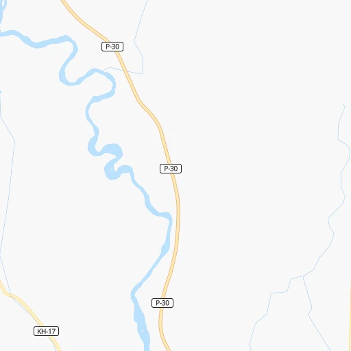
Roadmap (route) to go from Kemer to Moyynkum detailed above, you can also see the course layout on the map.
While doing trip Kemer - Moyynkum by car, the calculated route ends at a distance , or more straight.
Distance and duration of the route between Kemer and Moyynkum
Calculation of distance and route from Moyynkum to Kemer :
97.1109.0 km2h45mn
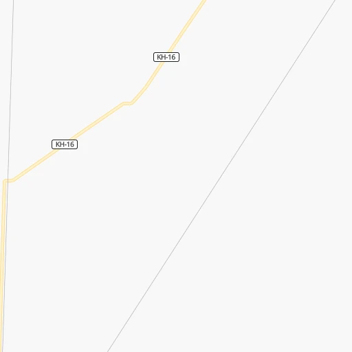
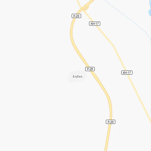
Continue onto KH-16 0h6mn 4.8 kmTurn sharp right onto P-30 1h41mn 47.0 kmTurn left 1h54mn 54.4 kmKeep right 0h3mn 2.8 kmTurn right 0h0mn 38 mArrive at destination 0h0mn 0 m
Travel from Kemer (Zhambyl) to a selection of major cities.
Distances from Kemer to biggest cities in Zhambyl
Other major cities in country :
- Zhezqazghan [12], 104,357 inhabitants. 655 km
- Zhanaozen [09], 103,598 inhabitants. 1,691 km
- Turkestan [10], 97,360 inhabitants. 455 km
- Balqash [12], 81,364 inhabitants. 360 km
- Sarkand [01], 76,919 inhabitants. 516 km
- Baikonur [08], 70,000 inhabitants. 861 km
- Kentau [10], 57,408 inhabitants. 432 km
- Ridder [15], 52,664 inhabitants. 1,038 km
- Qulsary [06], 51,216 inhabitants. 1,589 km
Route from Moyynkum to major cities (Kazakhstan).
- Distance Moyynkum Almaty340 km
- Distance Moyynkum Karagandy614 km
- Distance Moyynkum Shymkent349 km
- Distance Moyynkum Astana776 km
- Distance Moyynkum Pavlodar939 km
- Distance Moyynkum Ust-Kamenogorsk966 km
- Distance Moyynkum Kyzyl-Orda593 km
- Distance Moyynkum Kyzylorda592 km
- Distance Moyynkum Semey878 km
- Distance Moyynkum Aktobe1,359 km
- Distance Moyynkum Kostanay1,204 km
- Distance Moyynkum Petropavl1,209 km
- Distance Moyynkum Oral1,781 km
- Distance Moyynkum Atyrau1,662 km
- Distance Moyynkum Temirtau642 km
- Distance Moyynkum Aktau1,741 km
- Distance Moyynkum Kokshetau1,034 km
- Distance Moyynkum Rudnyy1,205 km
- Distance Moyynkum Ekibastuz847 km
- Distance Moyynkum Taldykorgan438 km
Nearest cities to Kemer :
- Taraz, 358,153 inhabitants. 222 km
- Chu, 39,785 inhabitants. 15 km
- Burunday, 20,996 inhabitants. 245 km
- Merke, 15,934 inhabitants. 109 km
- Mikhaylovka, 15,132 inhabitants. 207 km
- Chemolgan, 13,616 inhabitants. 226 km
- Priozersk, 13,457 inhabitants. 258 km
- Lugovoye, 13,128 inhabitants. 129 km
- Moyynkum, 10,923 inhabitants. 97 km
- Lugovoy, 10,422 inhabitants. 124 km
- Oytal, 9,821 inhabitants. 102 km
- Georgiyevka, 9,821 inhabitants. 102 km
- Bakanas, 6,965 inhabitants. 227 km
- Saryshaghan, 4,365 inhabitants. 268 km
- Ulken, 3,735 inhabitants. 167 km
Location Kemer (Zhambyl) :
| Country flag |  |
| Location | Kemer |
| State | Zhambyl |
| County | |
| Country | Kazakhstan |
| Country code / ISO 2 | KZ |
| Latitude | 43.7155700 |
| Longitude | 73.8618700 |
| Altitude | 0 meters |
| Time zone | Asia/Almaty |
Location Moyynkum (Zhambyl) :
| Country flag | |
| Location | Moyynkum |
| State | Zhambyl |
| County | |
| Country | Kazakhstan |
| Country code / ISO 2 | KZ |
| Latitude | 44.2846100 |
| Longitude | 72.9392000 |
| Altitude | 0 meters |
| Time zone | Asia/Almaty |