
How to get from Lādkhed Railroad Station (Maharashtra) to Kūkatpalli (Telangana)
Calculate route from Lādkhed Railroad Station (Maharashtra, India) to Kūkatpalli (Telangana, India).
The flight distance (as the crow flies) between Lādkhed Railroad Station and Kūkatpalli is 321.6 km.
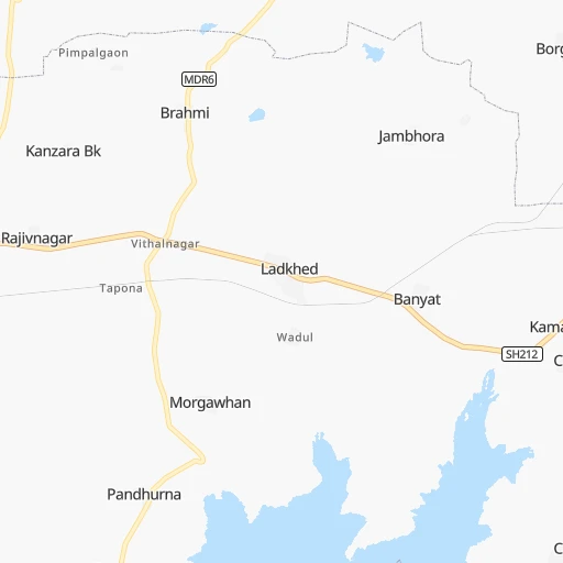
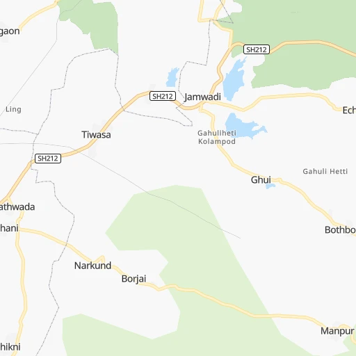
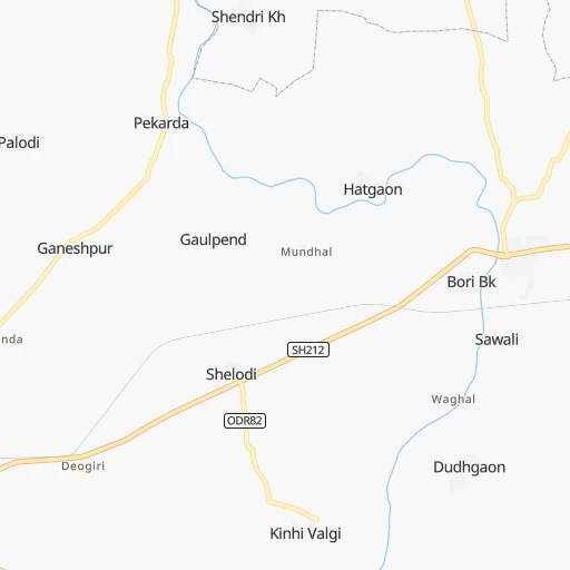
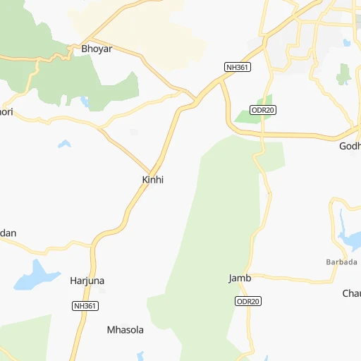
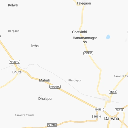
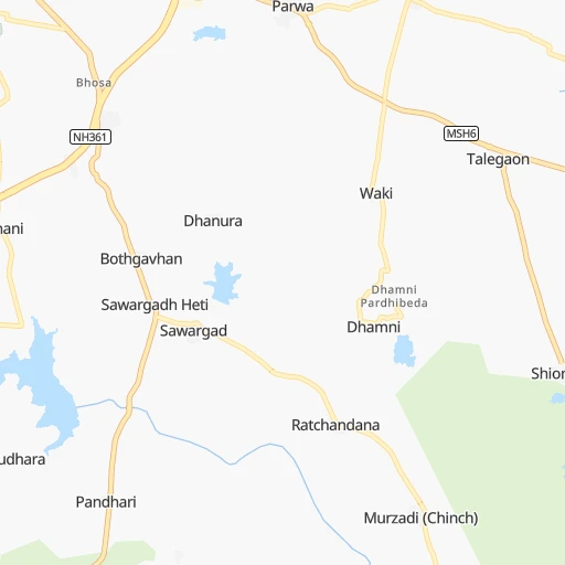
Roadmap (route) to go from Lādkhed Railroad Station to Kūkatpalli detailed above, you can also see the course layout on the map.
While doing trip Lādkhed Railroad Station - Kūkatpalli by car, the calculated route ends at a distance , or more straight.
Distance and duration of the route between Lādkhed Railroad Station and Kūkatpalli
Calculation of distance and route from Kūkatpalli to Lādkhed Railroad Station :
321.6393.4 km6h12mn
Continue onto SH212 0h4mn 4.1 kmTurn sharp right 0h4mn 4.5 kmTurn left 0h5mn 4.5 kmTurn left 0h4mn 3.0 kmTurn sharp left 0h4mn 3.3 kmContinue 0h0mn 425 mTurn right 0h0mn 98 mKeep left 0h0mn 62 mTurn left 0h0mn 115 mTurn right 0h0mn 64 mTurn left 0h0mn 28 mTurn slight right 0h7mn 5.8 kmTurn left onto SH210 0h3mn 2.8 kmTurn right onto SH210 0h0mn 388 mTurn right 0h6mn 3.0 kmTurn left 0h5mn 4.3 kmTurn slight right 0h4mn 3.5 kmTurn right onto MDR29 0h2mn 1.8 kmTurn left 0h16mn 7.9 kmTurn left onto ODR78 0h18mn 14.7 kmTurn right 0h19mn 14.9 kmTurn left onto NH161A 0h23mn 26.6 kmTurn left onto NH161A 0h11mn 12.4 kmContinue onto SH231 0h24mn 26.0 kmTurn left 0h7mn 6.8 kmTurn left 0h0mn 140 mTurn right 0h0mn 54 mTurn right 0h11mn 13.1 kmKeep right onto Old NH7 0h14mn 15.0 kmTurn slight left 0h9mn 10.1 kmKeep left onto Old NH7 0h0mn 81 mTurn right onto NH44 0h14mn 16.8 kmKeep right onto Old NH7 0h5mn 5.8 kmTurn right onto NH44 1h53mn 71.1 kmKeep right onto Old NH7 0h24mn 27.5 kmKeep left onto Old NH7 0h2mn 2.4 kmKeep left onto Old NH7 0h15mn 16.9 kmTurn right onto Chegunta 0h4mn 4.3 kmTurn right onto NH44 1h40mn 47.1 kmTurn right 0h0mn 13 mTurn right onto NH 44 0h0mn 33 mTurn left 0h0mn 9 mTurn left 0h3mn 2.5 kmTurn sharp right onto Pipe Line Road 0h8mn 6.2 kmTurn left 0h1mn 635 mTurn right 0h0mn 331 mTurn right 0h2mn 1.5 kmTurn left 0h0mn 182 mTurn left 0h0mn 27 mTurn right 0h0mn 104 mArrive at destination 0h0mn 0 m
Travel from Lādkhed Railroad Station (Telangana) to a selection of major cities.
Distances from Lādkhed Railroad Station to biggest cities in Maharashtra
- Malegaon,435,362 inhabitants.354 km
- Jalgaon,429,298 inhabitants.257 km
- Akola,428,857 inhabitants.105 km
- Ahmadnagar,367,140 inhabitants.362 km
- Dhulia,366,980 inhabitants.334 km
- Latur,348,967 inhabitants.259 km
- Chanda,328,351 inhabitants.150 km
- Parbhani,289,629 inhabitants.170 km
- Ichalkaranji,274,383 inhabitants.547 km
- Jalna,262,034 inhabitants.220 km
- Amarnath,217,780 inhabitants.514 km
- Bhusaval,183,001 inhabitants.236 km
- Virar,150,357 inhabitants.544 km
- Yavatmal,128,175 inhabitants.22 km
- Panvel,128,046 inhabitants.527 km
- Gondia,124,897 inhabitants.267 km
- Wardha,113,759 inhabitants.83 km
- Satara,112,793 inhabitants.509 km
- Achalpur,111,278 inhabitants.111 km
- Barsi,110,983 inhabitants.332 km
Other major cities in country :
- Faridabad [10], 1,220,229 inhabitants. 900 km
- Ghaziabad [36], 1,199,191 inhabitants. 928 km
- Rajkot [09], 1,177,362 inhabitants. 771 km
- Varanasi [36], 1,164,404 inhabitants. 761 km
- Amritsar [23], 1,092,450 inhabitants. 1,292 km
- Allahabad [36], 1,073,438 inhabitants. 696 km
- Visakhapatnam [02], 1,063,178 inhabitants. 629 km
- Teni [25], 1,034,724 inhabitants. 1,151 km
- Jabalpur [35], 1,030,168 inhabitants. 378 km
- Haora [28], 1,027,672 inhabitants. 1,105 km
- Srinagar [12], 975,857 inhabitants. 1,561 km
- Chandigarh [05], 960,787 inhabitants. 1,163 km
- Coimbatore [25], 959,823 inhabitants. 1,044 km
- Jodhpur [24], 921,476 inhabitants. 829 km
- Madurai [25], 909,908 inhabitants. 1,161 km
- Guwahati [03], 899,094 inhabitants. 1,554 km
- Gwalior [35], 882,458 inhabitants. 656 km
- Vijayawada [02], 874,587 inhabitants. 514 km
- Mysore [19], 868,313 inhabitants. 906 km
- Ranchi [38], 846,454 inhabitants. 833 km
Route from Kūkatpalli to major cities (India).
- Distance Kūkatpalli Mumbai611 km
- Distance Kūkatpalli Delhi1,249 km
- Distance Kūkatpalli Bengaluru510 km
- Distance Kūkatpalli Kolkata1,184 km
- Distance Kūkatpalli Chennai529 km
- Distance Kūkatpalli Ahmedabad866 km
- Distance Kūkatpalli Pune496 km
- Distance Kūkatpalli Surat717 km
- Distance Kūkatpalli Kanpur1,019 km
- Distance Kūkatpalli Jaipur1,084 km
- Distance Kūkatpalli Navi Mumbai596 km
- Distance Kūkatpalli Lucknow1,073 km
- Distance Kūkatpalli Nagpur414 km
- Distance Kūkatpalli Indore642 km
- Distance Kūkatpalli Patna1,139 km
- Distance Kūkatpalli Bhopal651 km
- Distance Kūkatpalli Ludhiana1,517 km
- Distance Kūkatpalli Tirunelveli978 km
- Distance Kūkatpalli Agra1,080 km
- Distance Kūkatpalli Vadodara764 km
Nearest cities to Lādkhed Railroad Station :
- Hyderabad, 3,597,816 inhabitants. 334 km
- Nagpur, 2,228,018 inhabitants. 150 km
- Indore, 1,837,041 inhabitants. 342 km
- Bhopal, 1,599,914 inhabitants. 329 km
- Jabalpur, 1,030,168 inhabitants. 378 km
- Aurangabad, 1,016,441 inhabitants. 275 km
- Solapur, 997,281 inhabitants. 365 km
- Amravati, 603,837 inhabitants. 68 km
- Warangal, 557,802 inhabitants. 314 km
- Nanded, 550,564 inhabitants. 146 km
- Ujjain, 457,346 inhabitants. 387 km
- Ramgundam, 452,261 inhabitants. 235 km
- Jalgaon, 429,298 inhabitants. 257 km
- Akola, 428,857 inhabitants. 105 km
- Punasa, 350,000 inhabitants. 264 km
- Latur, 348,967 inhabitants. 259 km
- Kukatpalli, 341,709 inhabitants. 322 km
- Chanda, 328,351 inhabitants. 150 km
- Nizamabad, 305,438 inhabitants. 187 km
- Parbhani, 289,629 inhabitants. 170 km
- Jalna, 262,034 inhabitants. 220 km
- Lal Bahadur Nagar, 261,987 inhabitants. 340 km
- Dewas, 261,218 inhabitants. 350 km
- Ratlam, 236,843 inhabitants. 447 km
- Ramagundam, 235,000 inhabitants. 240 km
- Karimnagar, 228,745 inhabitants. 247 km
- Quthbullapur, 225,816 inhabitants. 321 km
- Secunderabad, 204,182 inhabitants. 322 km
- Bidar, 204,071 inhabitants. 273 km
- Burhanpur, 202,695 inhabitants. 207 km
- Bhusaval, 183,001 inhabitants. 236 km
- Khandwa, 182,841 inhabitants. 232 km
- Serilingampalle, 150,525 inhabitants. 320 km
- Malkajgiri, 150,000 inhabitants. 328 km
- Chhindwara, 134,847 inhabitants. 218 km
- Yavatmal, 128,175 inhabitants. 22 km
- Gondia, 124,897 inhabitants. 267 km
- Adilabad, 118,526 inhabitants. 98 km
- Uppal Kalan, 118,259 inhabitants. 334 km
- Wardha, 113,759 inhabitants. 83 km
- Achalpur, 111,278 inhabitants. 111 km
- Barsi, 110,983 inhabitants. 332 km
- Hoshangabad, 109,358 inhabitants. 269 km
- Seoni, 101,379 inhabitants. 257 km
- Udgir, 101,064 inhabitants. 233 km
- Itarsi, 100,574 inhabitants. 254 km
- Sehore, 99,284 inhabitants. 330 km
- Jagtial, 99,035 inhabitants. 201 km
- Hinganghat, 97,568 inhabitants. 98 km
- Amalner, 97,369 inhabitants. 309 km
Location Lādkhed Railroad Station (Maharashtra) :
| Country flag |  |
| Location | Lādkhed Railroad Station |
| State | Maharashtra |
| County | Yavatmal |
| Country | India |
| Country code / ISO 2 | IN |
| Latitude | 20.3415200 |
| Longitude | 77.9259900 |
| Altitude | 0 meters |
| Time zone | Asia/Kolkata |
Location Kūkatpalli (Telangana) :
| Country flag | |
| Location | Kūkatpalli |
| State | Telangana |
| County | Rangareddi |
| Country | India |
| Country code / ISO 2 | IN |
| Latitude | 17.4848600 |
| Longitude | 78.4137600 |
| Altitude | 0 meters |
| Time zone | Asia/Kolkata |


