


How to get from Albinia (KwaZulu-Natal) to Driefontein (Mpumalanga)
Calculate route from Albinia (KwaZulu-Natal, South Africa) to Driefontein (Mpumalanga, South Africa).
The flight distance (as the crow flies) between Albinia and Driefontein is 308.9 km.
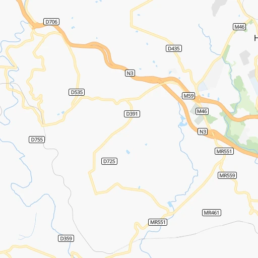
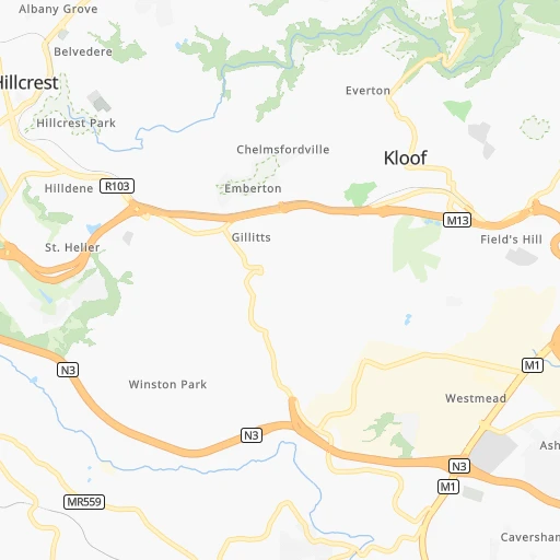
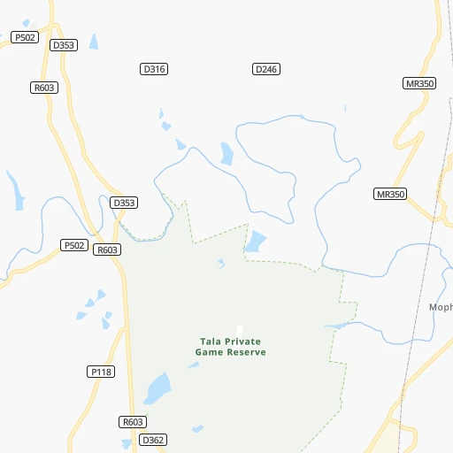
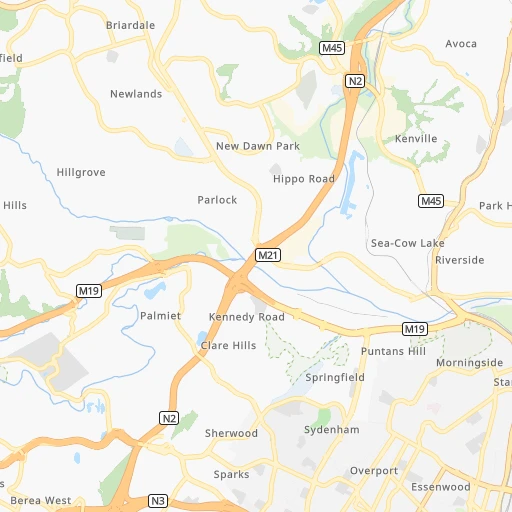
Roadmap (route) to go from Albinia to Driefontein detailed above, you can also see the course layout on the map.
While doing trip Albinia - Driefontein by car, the calculated route ends at a distance , or more straight.
Distance and duration of the route between Albinia and Driefontein
Calculation of distance and route from Driefontein to Albinia :
308.9444.8 km7h53mn
Continue 0h1mn 407 mTurn right onto Springside Road 0h1mn 381 mTurn right onto Stonewall Road 0h1mn 321 mTurn right onto Old Main Road 0h0mn 56 mKeep left toward P505 0h2mn 2.0 kmTurn right and take M13 toward Pietermaritzburg 0h25mn 43.9 kmKeep left toward R103 0h8mn 8.3 kmAt roundabout, take exit 2 onto Peter Brown Drive 0h0mn 142 mKeep left and take N3 toward Harrismith 1h35mn 56.6 kmKeep left and drive toward Mooi River, Greytown 0h28mn 50.4 kmKeep left and take R74 toward Colenso, Bergville 0h1mn 630 mKeep right and take R74 toward Colenso, Bergville 0h0mn 31 mTurn right onto R74 0h18mn 21.0 kmTurn right onto P544 0h11mn 11.4 kmKeep left 0h0mn 87 mTurn slight left onto P325 0h10mn 10.0 kmTurn left onto Helpmekaar 0h5mn 4.7 kmTurn right onto N11 0h4mn 4.3 kmContinue onto N11 2h4mn 144.6 kmTurn right onto De Kock Street 1h32mn 32.1 kmTurn left 0h2mn 1.1 kmKeep right 1h38mn 18.9 kmTurn left 0h21mn 10.6 kmTurn left 0h2mn 942 mTurn right 0h15mn 7.5 kmKeep left 0h18mn 9.1 kmTurn sharp right 0h3mn 1.4 kmTurn left 0h2mn 1.1 kmTurn sharp left 0h2mn 1.0 kmKeep left 0h3mn 1.7 kmArrive at destination 0h0mn 0 m
Travel from Albinia (Mpumalanga) to a selection of major cities.
Distances from Albinia to biggest cities in KwaZulu-Natal
Other major cities in country :
- Uitenhage [05], 228,912 inhabitants. 674 km
- Roodepoort [06], 225,000 inhabitants. 493 km
- Paarl [11], 190,000 inhabitants. 1,199 km
- Springs [06], 186,394 inhabitants. 457 km
- Carletonville [06], 182,304 inhabitants. 505 km
- Klerksdorp [10], 178,921 inhabitants. 518 km
- Midrand [06], 173,009 inhabitants. 496 km
- Westonaria [06], 156,831 inhabitants. 492 km
- Middelburg [07], 154,706 inhabitants. 464 km
- Orkney [10], 145,801 inhabitants. 508 km
- Kimberley [08], 142,089 inhabitants. 595 km
- eMbalenhle [07], 141,741 inhabitants. 398 km
- Nigel [06], 140,644 inhabitants. 436 km
- Bhisho [05], 137,287 inhabitants. 465 km
- Randfontein [06], 133,654 inhabitants. 501 km
- Worcester [11], 127,597 inhabitants. 1,154 km
- Rustenburg [10], 124,064 inhabitants. 575 km
- Polokwane [09], 123,749 inhabitants. 667 km
- Potchefstroom [10], 123,669 inhabitants. 496 km
- Virginia [03], 122,502 inhabitants. 423 km
Route from Driefontein to major cities (South Africa).
- Distance Driefontein Cape Town1,385 km
- Distance Driefontein Durban321 km
- Distance Driefontein Johannesburg256 km
- Distance Driefontein Soweto271 km
- Distance Driefontein Pretoria266 km
- Distance Driefontein Port Elizabeth901 km
- Distance Driefontein Pietermaritzburg289 km
- Distance Driefontein Benoni231 km
- Distance Driefontein Tembisa249 km
- Distance Driefontein East London711 km
- Distance Driefontein Vereeniging254 km
- Distance Driefontein Bloemfontein477 km
- Distance Driefontein Boksburg236 km
- Distance Driefontein Welkom382 km
- Distance Driefontein Newcastle97 km
- Distance Driefontein Krugersdorp286 km
- Distance Driefontein Diepsloot271 km
- Distance Driefontein Randburg265 km
- Distance Driefontein Botshabelo443 km
- Distance Driefontein Brakpan225 km
Nearest cities to Albinia :
- Durban, 3,120,282 inhabitants. 27 km
- Pietermaritzburg, 750,845 inhabitants. 41 km
- Newcastle, 404,838 inhabitants. 240 km
- Richards Bay, 252,968 inhabitants. 166 km
- Vryheid, 150,012 inhabitants. 224 km
- Mpumalanga, 140,121 inhabitants. 13 km
- Dundee, 84,413 inhabitants. 187 km
- Piet Retief, 84,349 inhabitants. 309 km
- Phuthaditjhaba, 84,258 inhabitants. 236 km
- Bethlehem, 83,654 inhabitants. 295 km
- Mthatha, 78,663 inhabitants. 276 km
- Sasolburg, 77,016 inhabitants. 439 km
- Standerton, 74,021 inhabitants. 351 km
- KwaDukuza, 59,899 inhabitants. 72 km
- Heilbron, 55,196 inhabitants. 390 km
- Port Shepstone, 52,793 inhabitants. 111 km
- eSikhaleni, 49,265 inhabitants. 150 km
- Mondlo, 44,922 inhabitants. 200 km
- Volksrust, 43,378 inhabitants. 283 km
- Harrismith, 35,108 inhabitants. 232 km
- Margate, 34,407 inhabitants. 126 km
- Butterworth, 34,353 inhabitants. 378 km
- Richmond, 32,445 inhabitants. 49 km
- Howick, 28,725 inhabitants. 62 km
- Driefontein, 28,127 inhabitants. 309 km
- Empangeni, 28,093 inhabitants. 158 km
- Mpophomeni, 26,229 inhabitants. 61 km
- Kokstad, 25,373 inhabitants. 155 km
- Scottburgh, 23,949 inhabitants. 56 km
- Ulundi, 20,753 inhabitants. 173 km
- eMkhomazi, 20,410 inhabitants. 47 km
- Ballito, 17,218 inhabitants. 51 km
- Reitz, 16,637 inhabitants. 317 km
- Berea, 15,000 inhabitants. 23 km
- Eshowe, 14,786 inhabitants. 121 km
- Vrede, 14,622 inhabitants. 306 km
- Ekuvukeni, 14,331 inhabitants. 158 km
- Greytown, 13,912 inhabitants. 82 km
- Glencoe, 13,547 inhabitants. 189 km
- Sundumbili, 12,455 inhabitants. 95 km
- Deneysville, 12,397 inhabitants. 415 km
- Lindley, 12,000 inhabitants. 350 km
- Elliot, 11,836 inhabitants. 329 km
- Villiers, 11,240 inhabitants. 373 km
- Mooirivier, 10,132 inhabitants. 98 km
- Port Saint John's, 5,939 inhabitants. 236 km
- Utrecht, 3,575 inhabitants. 240 km
Location Albinia (KwaZulu-Natal) :
| Country flag |  |
| Location | Albinia |
| State | KwaZulu-Natal |
| County | eThekwini Metropolitan Municipality |
| Country | South Africa |
| Country code / ISO 2 | ZA |
| Latitude | -29.7833300 |
| Longitude | 30.7666700 |
| Altitude | 0 meters |
| Time zone | Africa/Johannesburg |
Location Driefontein (Mpumalanga) :
| Country flag | |
| Location | Driefontein |
| State | Mpumalanga |
| County | Gert Sibande District Municipality |
| Country | South Africa |
| Country code / ISO 2 | ZA |
| Latitude | -27.0177000 |
| Longitude | 30.4497900 |
| Altitude | 0 meters |
| Time zone | Africa/Johannesburg |