
How to get from Aliwal North (Orange Free State) to Fort Beaufort (Eastern Cape)
Calculate route from Aliwal North (Orange Free State, South Africa) to Fort Beaufort (Eastern Cape, South Africa).
The flight distance (as the crow flies) between Aliwal North and Fort Beaufort is 233.1 km.
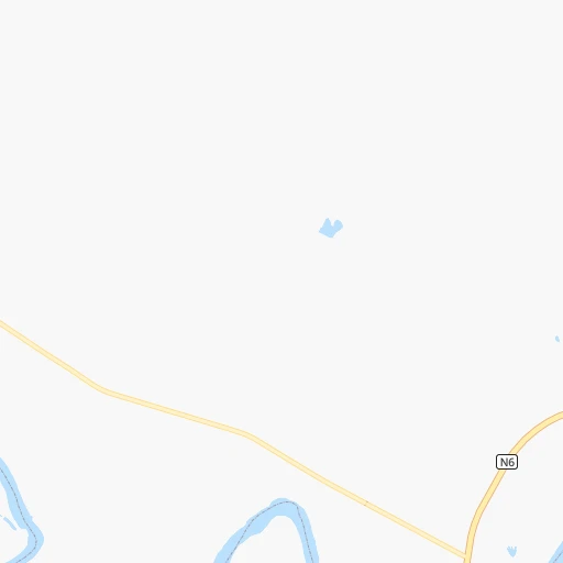
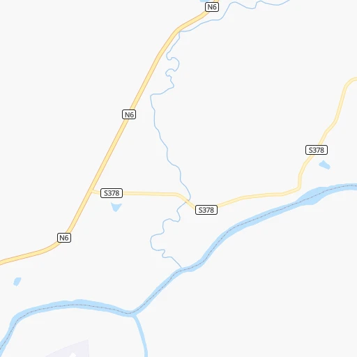
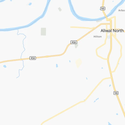
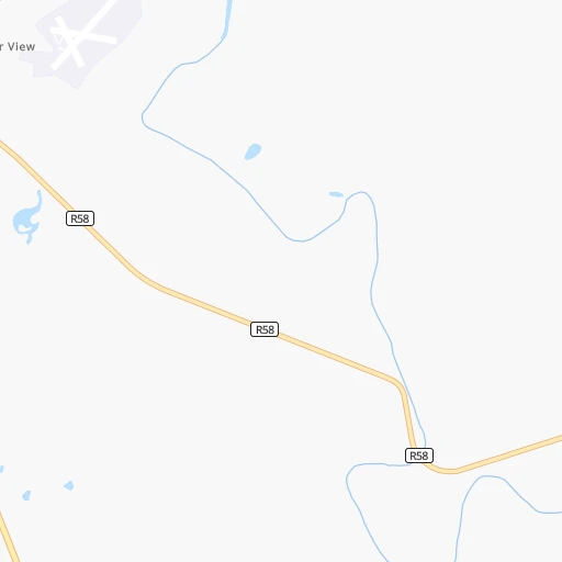
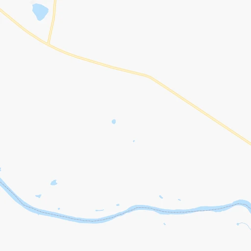
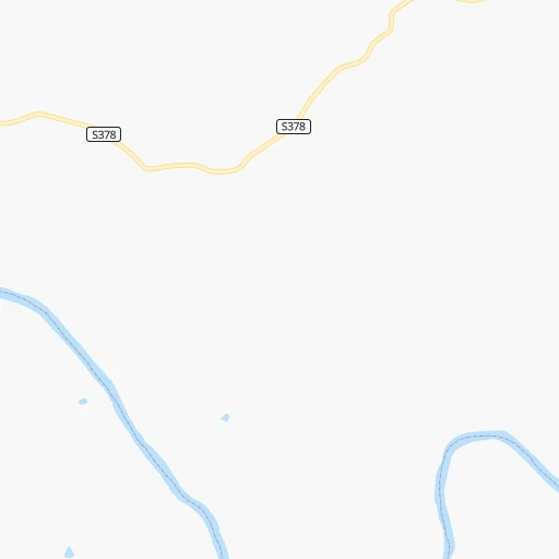
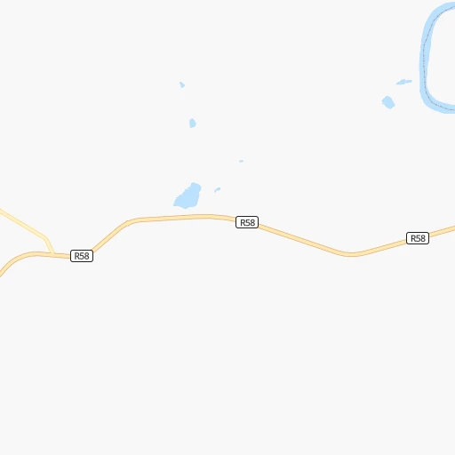
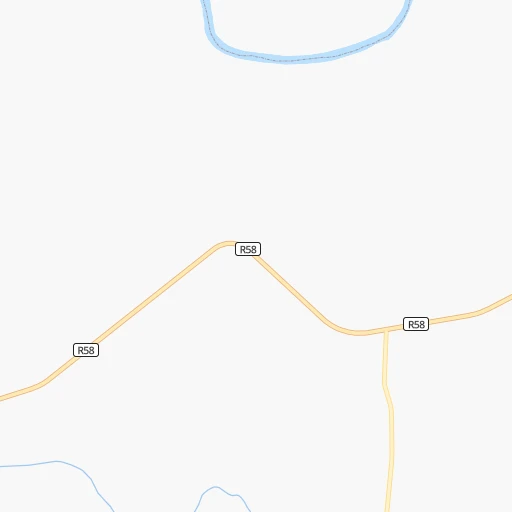
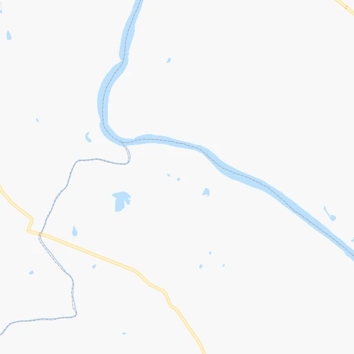
Roadmap (route) to go from Aliwal North to Fort Beaufort detailed above, you can also see the course layout on the map.
While doing trip Aliwal North - Fort Beaufort by car, the calculated route ends at a distance , or more straight.
Distance and duration of the route between Aliwal North and Fort Beaufort
Calculation of distance and route from Fort Beaufort to Aliwal North :
233.1298.9 km4h4mn
Continue 0h2mn 764 mTurn right onto Naude Street 0h0mn 215 mTurn left onto Louis Botha Street 0h1mn 679 mTurn left onto Durban Street 0h2mn 1.4 kmKeep left onto Levy Street 0h1mn 506 mTurn slight left onto Theron Street 0h3mn 2.3 kmTurn left onto Somerset Street 2h54mn 159.6 kmAt roundabout, take exit 2 onto Voortrekker Street 0h2mn 1.9 kmAt roundabout, take exit 1 onto Voortrekker Street 2h59mn 131.4 kmTurn left onto Somerset Street 0h0mn 172 mTurn right onto Durban Street 0h0mn 79 mArrive at destination 0h0mn 0 m
Travel from Aliwal North (Eastern Cape) to a selection of major cities.
Distances from Aliwal North to biggest cities in Orange Free State
Other major cities in country :
- Centurion [06], 233,386 inhabitants. 555 km
- Uitenhage [05], 228,912 inhabitants. 365 km
- Roodepoort [06], 225,000 inhabitants. 515 km
- Paarl [11], 190,000 inhabitants. 805 km
- Springs [06], 186,394 inhabitants. 519 km
- Carletonville [06], 182,304 inhabitants. 485 km
- Klerksdorp [10], 178,921 inhabitants. 426 km
- Midrand [06], 173,009 inhabitants. 540 km
- Westonaria [06], 156,831 inhabitants. 494 km
- Middelburg [07], 154,706 inhabitants. 608 km
- Vryheid [02], 150,012 inhabitants. 511 km
- Orkney [10], 145,801 inhabitants. 412 km
- Kimberley [08], 142,089 inhabitants. 288 km
- eMbalenhle [07], 141,741 inhabitants. 515 km
- Nigel [06], 140,644 inhabitants. 503 km
- Mpumalanga [02], 140,121 inhabitants. 388 km
- Bhisho [05], 137,287 inhabitants. 251 km
- Randfontein [06], 133,654 inhabitants. 509 km
- Worcester [11], 127,597 inhabitants. 761 km
- Rustenburg [10], 124,064 inhabitants. 560 km
Route from Fort Beaufort to major cities (South Africa).
- Distance Fort Beaufort Cape Town774 km
- Distance Fort Beaufort Durban529 km
- Distance Fort Beaufort Johannesburg744 km
- Distance Fort Beaufort Soweto734 km
- Distance Fort Beaufort Pretoria797 km
- Distance Fort Beaufort Pietermaritzburg502 km
- Distance Fort Beaufort Benoni751 km
- Distance Fort Beaufort Tembisa770 km
- Distance Fort Beaufort Vereeniging691 km
- Distance Fort Beaufort Bloemfontein409 km
- Distance Fort Beaufort Boksburg747 km
- Distance Fort Beaufort Welkom534 km
- Distance Fort Beaufort Newcastle642 km
- Distance Fort Beaufort Krugersdorp753 km
- Distance Fort Beaufort Diepsloot773 km
- Distance Fort Beaufort Randburg755 km
- Distance Fort Beaufort Botshabelo391 km
- Distance Fort Beaufort Brakpan747 km
- Distance Fort Beaufort Witbank809 km
- Distance Fort Beaufort Richards Bay681 km
Nearest cities to Aliwal North :
- East London, 478,676 inhabitants. 283 km
- Bloemfontein, 463,064 inhabitants. 180 km
- Welkom, 431,944 inhabitants. 301 km
- Botshabelo, 309,714 inhabitants. 157 km
- Kimberley, 142,089 inhabitants. 288 km
- Bhisho, 137,287 inhabitants. 251 km
- Virginia, 122,502 inhabitants. 287 km
- Queenstown, 105,309 inhabitants. 137 km
- Kutloanong, 95,008 inhabitants. 317 km
- Grahamstown, 91,548 inhabitants. 293 km
- Phuthaditjhaba, 84,258 inhabitants. 314 km
- Bethlehem, 83,654 inhabitants. 313 km
- Mthatha, 78,663 inhabitants. 221 km
- Graaff-Reinet, 62,896 inhabitants. 272 km
- Fort Beaufort, 58,419 inhabitants. 234 km
- Aliwal North, 44,436 inhabitants. 2 km
- Wesselsbron, 42,552 inhabitants. 316 km
- Senekal, 39,584 inhabitants. 277 km
- Thaba Nchu, 38,616 inhabitants. 164 km
- Stutterheim, 35,510 inhabitants. 221 km
- Harrismith, 35,108 inhabitants. 355 km
- Theunissen, 34,718 inhabitants. 252 km
- Butterworth, 34,353 inhabitants. 228 km
- Cradock, 32,898 inhabitants. 196 km
- De Aar, 32,318 inhabitants. 260 km
- Allanridge, 31,700 inhabitants. 326 km
- Kokstad, 25,373 inhabitants. 259 km
- Lady Frere, 25,041 inhabitants. 124 km
- Hennenman, 22,847 inhabitants. 302 km
- Pampierstad, 21,800 inhabitants. 378 km
- Queensdale, 20,009 inhabitants. 135 km
- Middelburg, 18,164 inhabitants. 187 km
- Port Alfred, 17,959 inhabitants. 324 km
- Warrenton, 17,946 inhabitants. 338 km
- Christiana, 17,523 inhabitants. 343 km
- Ladybrand, 17,228 inhabitants. 180 km
- Reitz, 16,637 inhabitants. 360 km
- Somerset East, 16,155 inhabitants. 252 km
- Jan Kempdorp, 13,485 inhabitants. 358 km
- Hoopstad, 12,663 inhabitants. 326 km
- Burgersdorp, 12,548 inhabitants. 52 km
- Zastron, 12,449 inhabitants. 54 km
- Colesberg, 12,423 inhabitants. 156 km
- Clocolan, 12,318 inhabitants. 213 km
- Adelaide, 12,212 inhabitants. 230 km
- Brandfort, 12,091 inhabitants. 222 km
- Whittlesea, 12,080 inhabitants. 167 km
- Lindley, 12,000 inhabitants. 332 km
- Elliot, 11,836 inhabitants. 130 km
- Barkly West, 11,621 inhabitants. 320 km
Location Aliwal North (Orange Free State) :
| Country flag |  |
| Location | Aliwal North |
| State | Orange Free State |
| County | |
| Country | South Africa |
| Country code / ISO 2 | ZA |
| Latitude | -30.6780800 |
| Longitude | 26.7239000 |
| Altitude | 0 meters |
| Time zone | Africa/Johannesburg |
Location Fort Beaufort (Eastern Cape) :
| Country flag | |
| Location | Fort Beaufort |
| State | Eastern Cape |
| County | Amathole District Municipality |
| Country | South Africa |
| Country code / ISO 2 | ZA |
| Latitude | -32.7747700 |
| Longitude | 26.6337600 |
| Altitude | 0 meters |
| Time zone | Africa/Johannesburg |