
How to get from Drummondlea (Limpopo) to Mpumalanga (KwaZulu-Natal)
Calculate route from Drummondlea (Limpopo, South Africa) to Mpumalanga (KwaZulu-Natal, South Africa).
The flight distance (as the crow flies) between Drummondlea and Mpumalanga is 634.4 km.
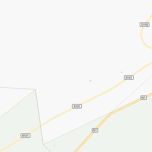
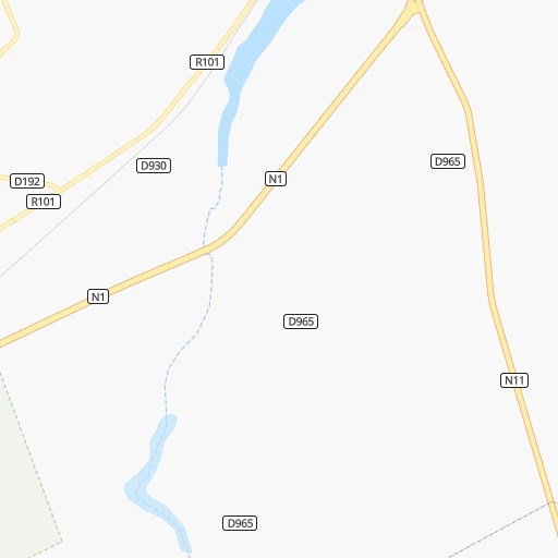
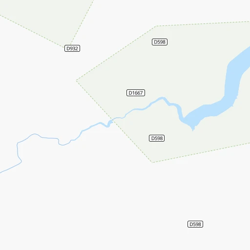
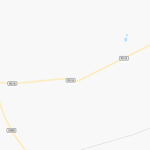
Roadmap (route) to go from Drummondlea to Mpumalanga detailed above, you can also see the course layout on the map.
While doing trip Drummondlea - Mpumalanga by car, the calculated route ends at a distance , or more straight.
Distance and duration of the route between Drummondlea and Mpumalanga
Calculation of distance and route from Mpumalanga to Drummondlea :
634.4751.1 km8h26mn
Continue 0h0mn 60 mTurn left onto Thabo Mbeki Drive 2h58mn 195.6 kmKeep left and take R21 toward Kempton Park, O R Tambo International, Pretoria 0h0mn 217 mKeep left and take R21 South toward Kempton Park, O R Tambo International 0h15mn 26.9 kmKeep left and take R23 toward Benoni 0h1mn 802 mKeep left and take R23 toward Benoni 0h0mn 71 mTurn slight left onto High Road 0h8mn 8.4 kmKeep left toward R23 0h8mn 8.2 kmTurn right onto Range View Road 0h26mn 29.9 kmKeep left and take N3 toward Villiers, Harrismith, Durban 0h14mn 24.0 kmKeep left onto N3 3h8mn 253.9 kmKeep right onto N3 and take N3 toward Durban 2h33mn 159.6 kmKeep left 0h1mn 695 mTurn right onto Peter Brown Drive 0h0mn 371 mAt roundabout, take exit 2 onto Howick Road 0h20mn 29.9 kmKeep left and take R103 toward Cato Ridge, Mpumalanga, Inchanga 0h1mn 875 mKeep right and take R103 toward Mpumalanga 0h0mn 81 mTurn right onto Uitkomst Street 0h8mn 6.8 kmTurn right onto P430, MR430 0h0mn 49 mTurn left onto MR431 0h3mn 2.7 kmTurn left onto Shezi Main Road 0h1mn 970 mAt roundabout, take exit 2 onto Shezi Main Road 0h1mn 824 mTurn sharp right onto 400405 Street 0h0mn 164 mArrive at destination 0h0mn 0 m
Travel from Drummondlea (KwaZulu-Natal) to a selection of major cities.
Distances from Drummondlea to biggest cities in Limpopo
Other major cities in country :
- Witbank [07], 262,491 inhabitants. 177 km
- Richards Bay [02], 252,968 inhabitants. 586 km
- Vanderbijlpark [06], 246,754 inhabitants. 290 km
- Centurion [06], 233,386 inhabitants. 189 km
- Uitenhage [05], 228,912 inhabitants. 1,107 km
- Roodepoort [06], 225,000 inhabitants. 233 km
- Paarl [11], 190,000 inhabitants. 1,427 km
- Springs [06], 186,394 inhabitants. 223 km
- Carletonville [06], 182,304 inhabitants. 276 km
- Klerksdorp [10], 178,921 inhabitants. 364 km
- Midrand [06], 173,009 inhabitants. 204 km
- Westonaria [06], 156,831 inhabitants. 259 km
- Middelburg [07], 154,706 inhabitants. 172 km
- Vryheid [02], 150,012 inhabitants. 428 km
- Orkney [10], 145,801 inhabitants. 375 km
- Kimberley [08], 142,089 inhabitants. 645 km
- eMbalenhle [07], 141,741 inhabitants. 248 km
- Nigel [06], 140,644 inhabitants. 241 km
- Mpumalanga [02], 140,121 inhabitants. 636 km
- Bhisho [05], 137,287 inhabitants. 962 km
Route from Mpumalanga to major cities (South Africa).
- Distance Mpumalanga Cape Town1,241 km
- Distance Mpumalanga Johannesburg476 km
- Distance Mpumalanga Soweto480 km
- Distance Mpumalanga Pretoria513 km
- Distance Mpumalanga Port Elizabeth662 km
- Distance Mpumalanga Benoni463 km
- Distance Mpumalanga Tembisa486 km
- Distance Mpumalanga East London441 km
- Distance Mpumalanga Vereeniging439 km
- Distance Mpumalanga Bloemfontein435 km
- Distance Mpumalanga Boksburg464 km
- Distance Mpumalanga Welkom432 km
- Distance Mpumalanga Krugersdorp501 km
- Distance Mpumalanga Diepsloot503 km
- Distance Mpumalanga Randburg488 km
- Distance Mpumalanga Botshabelo384 km
- Distance Mpumalanga Brakpan456 km
- Distance Mpumalanga Witbank460 km
- Distance Mpumalanga Vanderbijlpark441 km
- Distance Mpumalanga Centurion502 km
Nearest cities to Drummondlea :
- Johannesburg, 2,026,469 inhabitants. 230 km
- Soweto, 1,695,047 inhabitants. 244 km
- Pretoria, 1,619,438 inhabitants. 177 km
- Benoni, 605,344 inhabitants. 219 km
- Tembisa, 511,655 inhabitants. 201 km
- Vereeniging, 474,681 inhabitants. 282 km
- Boksburg, 445,168 inhabitants. 223 km
- Krugersdorp, 378,821 inhabitants. 230 km
- Diepsloot, 350,000 inhabitants. 204 km
- Randburg, 337,053 inhabitants. 220 km
- Brakpan, 305,692 inhabitants. 222 km
- Witbank, 262,491 inhabitants. 177 km
- Vanderbijlpark, 246,754 inhabitants. 290 km
- Centurion, 233,386 inhabitants. 189 km
- Roodepoort, 225,000 inhabitants. 233 km
- Springs, 186,394 inhabitants. 223 km
- Carletonville, 182,304 inhabitants. 276 km
- Klerksdorp, 178,921 inhabitants. 364 km
- Midrand, 173,009 inhabitants. 204 km
- Westonaria, 156,831 inhabitants. 259 km
- Middelburg, 154,706 inhabitants. 172 km
- Orkney, 145,801 inhabitants. 375 km
- eMbalenhle, 141,741 inhabitants. 248 km
- Nigel, 140,644 inhabitants. 241 km
- Randfontein, 133,654 inhabitants. 243 km
- Rustenburg, 124,064 inhabitants. 229 km
- Polokwane, 123,749 inhabitants. 70 km
- Potchefstroom, 123,669 inhabitants. 326 km
- Brits, 122,497 inhabitants. 189 km
- Alberton, 121,536 inhabitants. 233 km
- Nelspruit, 110,159 inhabitants. 243 km
- Phalaborwa, 109,468 inhabitants. 227 km
- Bethal, 101,919 inhabitants. 245 km
- Mokopane, 101,090 inhabitants. 14 km
- Mabopane, 97,417 inhabitants. 157 km
- Stilfontein, 93,110 inhabitants. 357 km
- Delmas, 92,046 inhabitants. 206 km
- Warmbaths, 90,210 inhabitants. 92 km
- Louis Trichardt, 86,854 inhabitants. 171 km
- Piet Retief, 84,349 inhabitants. 354 km
- Sasolburg, 77,016 inhabitants. 301 km
- Standerton, 74,021 inhabitants. 294 km
- Parys, 71,319 inhabitants. 325 km
- Ga-Rankuwa, 68,767 inhabitants. 174 km
- Barberton, 67,927 inhabitants. 269 km
- Lichtenburg, 65,863 inhabitants. 347 km
- Heidelberg, 64,199 inhabitants. 252 km
- Fochville, 62,416 inhabitants. 283 km
- Heilbron, 55,196 inhabitants. 345 km
- Viljoenskroon, 54,955 inhabitants. 380 km
Location Drummondlea (Limpopo) :
| Country flag |  |
| Location | Drummondlea |
| State | Limpopo |
| County | Waterberg District Municipality |
| Country | South Africa |
| Country code / ISO 2 | ZA |
| Latitude | -24.3064700 |
| Longitude | 28.9408800 |
| Altitude | 0 meters |
| Time zone | Africa/Johannesburg |
Location Mpumalanga (KwaZulu-Natal) :
| Country flag | |
| Location | Mpumalanga |
| State | KwaZulu-Natal |
| County | eThekwini Metropolitan Municipality |
| Country | South Africa |
| Country code / ISO 2 | ZA |
| Latitude | -29.8129200 |
| Longitude | 30.6364600 |
| Altitude | 0 meters |
| Time zone | Africa/Johannesburg |
