
How to get from Fouriesburg (Orange Free State) to Standerton (Mpumalanga)
Calculate route from Fouriesburg (Orange Free State, South Africa) to Standerton (Mpumalanga, South Africa).
The flight distance (as the crow flies) between Fouriesburg and Standerton is 213.4 km.
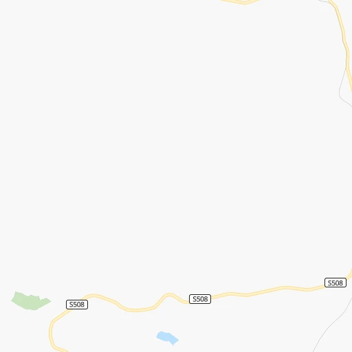
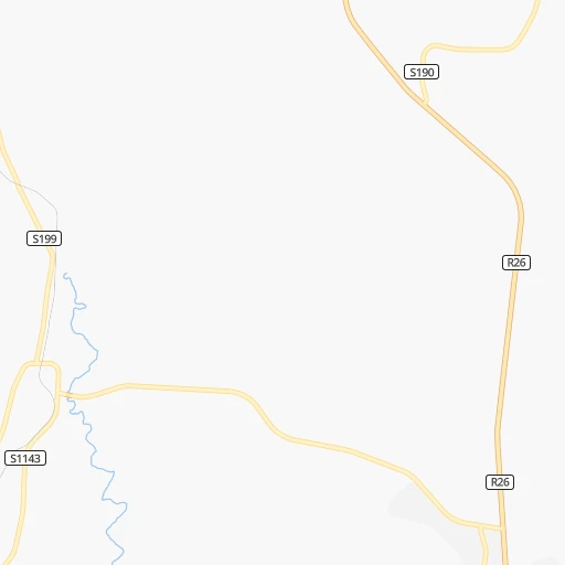
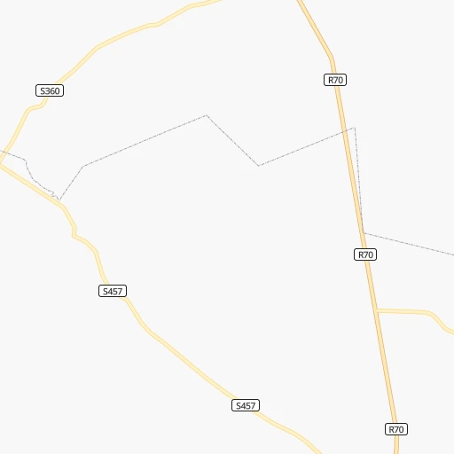
Roadmap (route) to go from Fouriesburg to Standerton detailed above, you can also see the course layout on the map.
While doing trip Fouriesburg - Standerton by car, the calculated route ends at a distance , or more straight.
Distance and duration of the route between Fouriesburg and Standerton
Calculation of distance and route from Standerton to Fouriesburg :
213.4255.1 km4h21mn
Continue 0h0mn 31 mTurn right 0h0mn 187 mTurn right onto S1143 0h0mn 131 mTurn right onto S199 0h12mn 6.4 kmTurn right onto S323 0h9mn 4.3 kmTurn right onto S1047 0h4mn 2.2 kmTurn left onto R26 1h32mn 35.4 kmTurn slight left onto Commissioner Street 0h1mn 1.5 kmTurn right onto Muller Street 0h1mn 1.2 kmKeep left toward R26 0h4mn 4.1 kmKeep right onto R714 1h17mn 76.9 kmTurn left and take N3 toward Villiers 0h1mn 647 mTurn slight left onto N3 0h4mn 4.7 kmKeep left and take R103 toward Vrede 0h2mn 2.0 kmContinue onto R103 1h40mn 40.3 kmTurn right onto R34 0h12mn 13.6 kmContinue onto R546 1h56mn 56.3 kmTurn left onto Dr. Nelson Mandela Drive 0h2mn 2.3 kmTurn sharp right onto Handel Street 0h0mn 176 mTurn left onto Charl Cilliers Street 0h1mn 994 mTurn left onto Schwickard Street 0h0mn 66 mTurn right onto Charl Cilliers Street 0h1mn 1.3 kmTurn right onto Kieser Street 0h0mn 176 mTurn left onto Beyers Naude Street 0h0mn 204 mArrive at destination 0h0mn 0 m
Travel from Fouriesburg (Mpumalanga) to a selection of major cities.
Distances from Fouriesburg to biggest cities in Orange Free State
Other major cities in country :
- Centurion [06], 233,386 inhabitants. 303 km
- Uitenhage [05], 228,912 inhabitants. 632 km
- Roodepoort [06], 225,000 inhabitants. 271 km
- Paarl [11], 190,000 inhabitants. 1,043 km
- Springs [06], 186,394 inhabitants. 261 km
- Carletonville [06], 182,304 inhabitants. 258 km
- Klerksdorp [10], 178,921 inhabitants. 241 km
- Midrand [06], 173,009 inhabitants. 289 km
- Westonaria [06], 156,831 inhabitants. 257 km
- Middelburg [07], 154,706 inhabitants. 339 km
- Vryheid [02], 150,012 inhabitants. 276 km
- Orkney [10], 145,801 inhabitants. 229 km
- Kimberley [08], 142,089 inhabitants. 330 km
- eMbalenhle [07], 141,741 inhabitants. 246 km
- Nigel [06], 140,644 inhabitants. 242 km
- Mpumalanga [02], 140,121 inhabitants. 279 km
- Bhisho [05], 137,287 inhabitants. 479 km
- Randfontein [06], 133,654 inhabitants. 270 km
- Worcester [11], 127,597 inhabitants. 1,001 km
- Rustenburg [10], 124,064 inhabitants. 336 km
Route from Standerton to major cities (South Africa).
- Distance Standerton Cape Town1,296 km
- Distance Standerton Durban370 km
- Distance Standerton Johannesburg144 km
- Distance Standerton Soweto156 km
- Distance Standerton Pretoria169 km
- Distance Standerton Port Elizabeth856 km
- Distance Standerton Pietermaritzburg319 km
- Distance Standerton Benoni124 km
- Distance Standerton Tembisa145 km
- Distance Standerton East London689 km
- Distance Standerton Vereeniging134 km
- Distance Standerton Bloemfontein384 km
- Distance Standerton Boksburg127 km
- Distance Standerton Welkom273 km
- Distance Standerton Newcastle114 km
- Distance Standerton Krugersdorp174 km
- Distance Standerton Diepsloot166 km
- Distance Standerton Randburg155 km
- Distance Standerton Botshabelo358 km
- Distance Standerton Brakpan116 km
Nearest cities to Fouriesburg :
- Durban, 3,120,282 inhabitants. 315 km
- Johannesburg, 2,026,469 inhabitants. 265 km
- Soweto, 1,695,047 inhabitants. 259 km
- Pretoria, 1,619,438 inhabitants. 316 km
- Pietermaritzburg, 750,845 inhabitants. 248 km
- Benoni, 605,344 inhabitants. 267 km
- Tembisa, 511,655 inhabitants. 288 km
- Vereeniging, 474,681 inhabitants. 214 km
- Bloemfontein, 463,064 inhabitants. 196 km
- Boksburg, 445,168 inhabitants. 264 km
- Welkom, 431,944 inhabitants. 153 km
- Newcastle, 404,838 inhabitants. 199 km
- Krugersdorp, 378,821 inhabitants. 280 km
- Diepsloot, 350,000 inhabitants. 295 km
- Randburg, 337,053 inhabitants. 277 km
- Botshabelo, 309,714 inhabitants. 157 km
- Brakpan, 305,692 inhabitants. 262 km
- Witbank, 262,491 inhabitants. 321 km
- Vanderbijlpark, 246,754 inhabitants. 210 km
- Centurion, 233,386 inhabitants. 303 km
- Roodepoort, 225,000 inhabitants. 271 km
- Springs, 186,394 inhabitants. 261 km
- Carletonville, 182,304 inhabitants. 258 km
- Klerksdorp, 178,921 inhabitants. 241 km
- Midrand, 173,009 inhabitants. 289 km
- Westonaria, 156,831 inhabitants. 257 km
- Middelburg, 154,706 inhabitants. 339 km
- Vryheid, 150,012 inhabitants. 276 km
- Orkney, 145,801 inhabitants. 229 km
- eMbalenhle, 141,741 inhabitants. 246 km
- Nigel, 140,644 inhabitants. 242 km
- Mpumalanga, 140,121 inhabitants. 279 km
- Randfontein, 133,654 inhabitants. 270 km
- Rustenburg, 124,064 inhabitants. 336 km
- Potchefstroom, 123,669 inhabitants. 231 km
- Virginia, 122,502 inhabitants. 135 km
- Brits, 122,497 inhabitants. 330 km
- Alberton, 121,536 inhabitants. 258 km
- Kroonstad, 103,992 inhabitants. 136 km
- Bethal, 101,919 inhabitants. 271 km
- Kutloanong, 95,008 inhabitants. 159 km
- Stilfontein, 93,110 inhabitants. 236 km
- Delmas, 92,046 inhabitants. 277 km
- Dundee, 84,413 inhabitants. 211 km
- Piet Retief, 84,349 inhabitants. 317 km
- Phuthaditjhaba, 84,258 inhabitants. 67 km
- Bethlehem, 83,654 inhabitants. 43 km
- Sasolburg, 77,016 inhabitants. 200 km
- Mmabatho, 76,754 inhabitants. 392 km
- Standerton, 74,021 inhabitants. 214 km
Location Fouriesburg (Orange Free State) :
| Country flag |  |
| Location | Fouriesburg |
| State | Orange Free State |
| County | Thabo Mofutsanyana District Municipality |
| Country | South Africa |
| Country code / ISO 2 | ZA |
| Latitude | -28.5839900 |
| Longitude | 28.1318600 |
| Altitude | 0 meters |
| Time zone | Africa/Johannesburg |
Location Standerton (Mpumalanga) :
| Country flag | |
| Location | Standerton |
| State | Mpumalanga |
| County | Gert Sibande District Municipality |
| Country | South Africa |
| Country code / ISO 2 | ZA |
| Latitude | -26.9336600 |
| Longitude | 29.2415200 |
| Altitude | 0 meters |
| Time zone | Africa/Johannesburg |