
How to get from Gerdau (North-West) to Heidelberg (Gauteng)
Calculate route from Gerdau (North-West, South Africa) to Heidelberg (Gauteng, South Africa).
The flight distance (as the crow flies) between Gerdau and Heidelberg is 224.7 km.
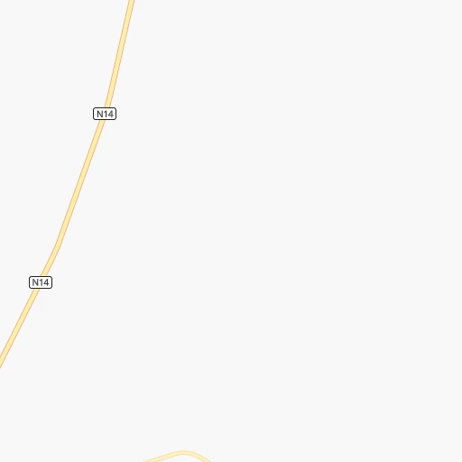
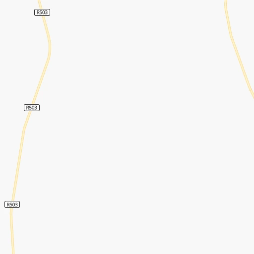
Roadmap (route) to go from Gerdau to Heidelberg detailed above, you can also see the course layout on the map.
While doing trip Gerdau - Heidelberg by car, the calculated route ends at a distance , or more straight.
Distance and duration of the route between Gerdau and Heidelberg
Calculation of distance and route from Heidelberg to Gerdau :
224.7268.4 km4h48mn
Continue 0h1mn 493 mTurn left onto R505 0h7mn 7.2 kmTurn right onto N14 0h18mn 21.0 kmTurn right onto N14 2h59mn 138.5 kmTurn right onto Ventersdorp Road 0h13mn 11.2 kmTurn left onto Lazar Road 0h1mn 937 mKeep left toward r41 0h1mn 807 mTurn right onto Kenneth Road 0h17mn 18.5 kmAt roundabout, take exit 2 onto Main Reef Road 0h13mn 15.4 kmKeep left and take M2 toward Bloemfontein, Sandton, Pretoria, Durban 0h4mn 4.4 kmKeep left toward M31 0h4mn 4.8 kmKeep left and take N17 toward Springs 0h3mn 4.9 kmKeep left toward N3, N17 0h1mn 600 mKeep right and take N3, N17 toward Springs 0h0mn 542 mKeep left and take N3, N17 toward Johannesburg 0h0mn 534 mKeep right and take N3 toward Durban 0h18mn 31.9 kmKeep left and take R23 toward Heidelberg, Benoni 0h1mn 711 mTurn sharp left onto Heidelberg Road 0h0mn 386 mTurn left onto R23 0h3mn 2.9 kmKeep left 0h0mn 110 mContinue onto Louw Street 0h1mn 725 mTurn right onto H.F. Verwoerd Road 0h1mn 900 mTurn left onto Mare Street 0h1mn 681 mTurn left onto Graham Street 0h0mn 83 mArrive at destination 0h0mn 0 m
Travel from Gerdau (Gauteng) to a selection of major cities.
Distances from Gerdau to biggest cities in North-West
Other major cities in country :
- Witbank [07], 262,491 inhabitants. 320 km
- Richards Bay [02], 252,968 inhabitants. 639 km
- Vanderbijlpark [06], 246,754 inhabitants. 175 km
- Centurion [06], 233,386 inhabitants. 219 km
- Uitenhage [05], 228,912 inhabitants. 814 km
- Roodepoort [06], 225,000 inhabitants. 180 km
- Paarl [11], 190,000 inhabitants. 1,059 km
- Springs [06], 186,394 inhabitants. 231 km
- Carletonville [06], 182,304 inhabitants. 130 km
- Midrand [06], 173,009 inhabitants. 210 km
- Westonaria [06], 156,831 inhabitants. 155 km
- Middelburg [07], 154,706 inhabitants. 345 km
- Vryheid [02], 150,012 inhabitants. 487 km
- Kimberley [08], 142,089 inhabitants. 284 km
- eMbalenhle [07], 141,741 inhabitants. 296 km
- Nigel [06], 140,644 inhabitants. 237 km
- Mpumalanga [02], 140,121 inhabitants. 580 km
- Bhisho [05], 137,287 inhabitants. 721 km
- Randfontein [06], 133,654 inhabitants. 163 km
- Worcester [11], 127,597 inhabitants. 1,023 km
Route from Heidelberg to major cities (South Africa).
- Distance Heidelberg Cape Town1,262 km
- Distance Heidelberg Durban456 km
- Distance Heidelberg Port Elizabeth871 km
- Distance Heidelberg Pietermaritzburg400 km
- Distance Heidelberg East London726 km
- Distance Heidelberg Bloemfontein360 km
- Distance Heidelberg Welkom230 km
- Distance Heidelberg Newcastle209 km
- Distance Heidelberg Botshabelo347 km
- Distance Heidelberg Witbank112 km
- Distance Heidelberg Richards Bay443 km
- Distance Heidelberg Uitenhage856 km
- Distance Heidelberg Paarl1,209 km
- Distance Heidelberg Klerksdorp173 km
- Distance Heidelberg Middelburg137 km
- Distance Heidelberg Vryheid279 km
- Distance Heidelberg Orkney176 km
- Distance Heidelberg Kimberley433 km
- Distance Heidelberg eMbalenhle71 km
- Distance Heidelberg Mpumalanga431 km
Nearest cities to Gerdau :
- Johannesburg, 2,026,469 inhabitants. 196 km
- Soweto, 1,695,047 inhabitants. 177 km
- Pretoria, 1,619,438 inhabitants. 224 km
- Benoni, 605,344 inhabitants. 224 km
- Tembisa, 511,655 inhabitants. 219 km
- Vereeniging, 474,681 inhabitants. 183 km
- Bloemfontein, 463,064 inhabitants. 295 km
- Boksburg, 445,168 inhabitants. 217 km
- Welkom, 431,944 inhabitants. 179 km
- Krugersdorp, 378,821 inhabitants. 173 km
- Diepsloot, 350,000 inhabitants. 200 km
- Randburg, 337,053 inhabitants. 194 km
- Botshabelo, 309,714 inhabitants. 317 km
- Brakpan, 305,692 inhabitants. 228 km
- Vanderbijlpark, 246,754 inhabitants. 175 km
- Centurion, 233,386 inhabitants. 219 km
- Roodepoort, 225,000 inhabitants. 180 km
- Springs, 186,394 inhabitants. 231 km
- Carletonville, 182,304 inhabitants. 130 km
- Klerksdorp, 178,921 inhabitants. 70 km
- Midrand, 173,009 inhabitants. 210 km
- Westonaria, 156,831 inhabitants. 155 km
- Orkney, 145,801 inhabitants. 80 km
- Kimberley, 142,089 inhabitants. 284 km
- eMbalenhle, 141,741 inhabitants. 296 km
- Nigel, 140,644 inhabitants. 237 km
- Randfontein, 133,654 inhabitants. 163 km
- Rustenburg, 124,064 inhabitants. 145 km
- Potchefstroom, 123,669 inhabitants. 103 km
- Virginia, 122,502 inhabitants. 197 km
- Brits, 122,497 inhabitants. 192 km
- Alberton, 121,536 inhabitants. 203 km
- Kroonstad, 103,992 inhabitants. 173 km
- Mokopane, 101,090 inhabitants. 387 km
- Mabopane, 97,417 inhabitants. 228 km
- Kutloanong, 95,008 inhabitants. 164 km
- Stilfontein, 93,110 inhabitants. 78 km
- Delmas, 92,046 inhabitants. 260 km
- Warmbaths, 90,210 inhabitants. 282 km
- Phuthaditjhaba, 84,258 inhabitants. 352 km
- Bethlehem, 83,654 inhabitants. 293 km
- Sasolburg, 77,016 inhabitants. 175 km
- Mmabatho, 76,754 inhabitants. 84 km
- Bothaville, 71,934 inhabitants. 114 km
- Parys, 71,319 inhabitants. 143 km
- Schweizer-Reneke, 70,214 inhabitants. 110 km
- Ga-Rankuwa, 68,767 inhabitants. 212 km
- Lichtenburg, 65,863 inhabitants. 36 km
- Heidelberg, 64,199 inhabitants. 225 km
- Fochville, 62,416 inhabitants. 139 km
Location Gerdau (North-West) :
| Country flag |  |
| Location | Gerdau |
| State | North-West |
| County | Ngaka Modiri Molema District Municipality |
| Country | South Africa |
| Country code / ISO 2 | ZA |
| Latitude | -26.4747500 |
| Longitude | 26.1004600 |
| Altitude | 0 meters |
| Time zone | Africa/Johannesburg |
Location Heidelberg (Gauteng) :
| Country flag | |
| Location | Heidelberg |
| State | Gauteng |
| County | Sedibeng District Municipality |
| Country | South Africa |
| Country code / ISO 2 | ZA |
| Latitude | -26.5047600 |
| Longitude | 28.3592100 |
| Altitude | 0 meters |
| Time zone | Africa/Johannesburg |

