

How to get from J & M Farms (airport) (New Mexico) to Las Vegas (New Mexico)
Calculate route from J & M Farms (airport) (New Mexico, United States) to Las Vegas (New Mexico, United States).
The flight distance (as the crow flies) between J & M Farms (airport) and Las Vegas is 136.0 km.
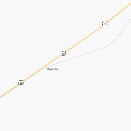
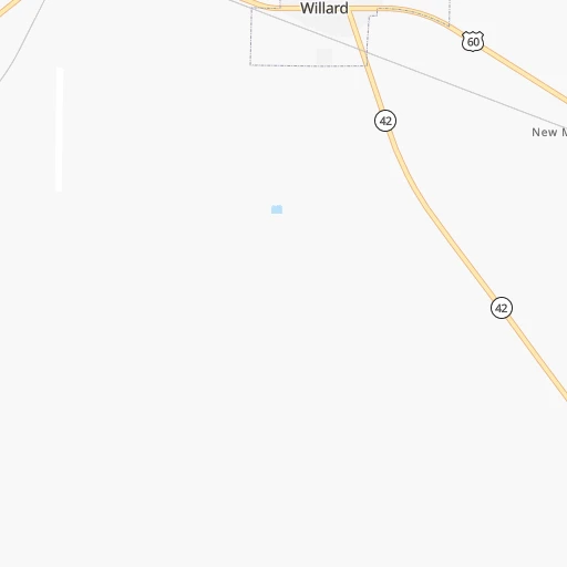
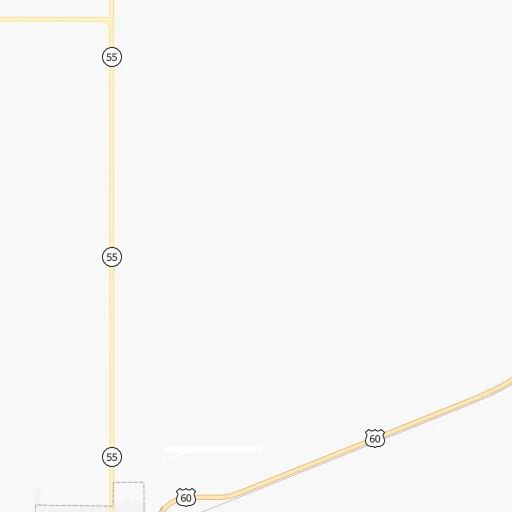
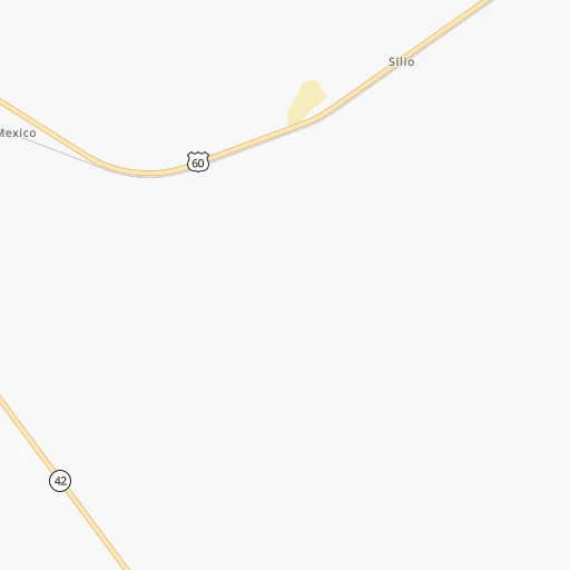
Roadmap (route) to go from J & M Farms Airport to Las Vegas detailed above, you can also see the course layout on the map.
While doing trip J & M Farms (airport) - Las Vegas by car, the calculated route ends at a distance , or more straight.
Distance and duration of the route between J & M Farms (airport) and Las Vegas
Calculation of distance and route from Las Vegas to J & M Farms (airport) :
136.0196.2 km3h34mn
Continue 0h4mn 2.0 kmTurn left 0h2mn 1.1 kmTurn right 0h3mn 1.3 kmTurn sharp left onto Dalies Avenue 0h1mn 364 mTurn left onto 8th Street 0h2mn 2.6 kmTurn right onto NM 41 1h36mn 45.3 kmTurn right 1h31mn 54.8 kmKeep right and take NM 3 toward Encino, Villanueva 0h0mn 349 mTurn left onto NM 3 1h51mn 51.7 kmTurn right 0h18mn 32.9 kmKeep right onto I 25 Business 0h0mn 476 mTurn left onto South Grand Avenue 0h2mn 2.1 kmTurn left onto South Grand Avenue 0h0mn 16 mTurn sharp right onto River Road 0h1mn 310 mTurn slight right 0h1mn 302 mTurn right onto Paseo de Las Escuelis 0h1mn 484 mTurn slight right onto Paseo de Las Escuelis 0h0mn 72 mTurn sharp right onto Bridge Street 0h0mn 21 mArrive at destination 0h0mn 0 m
Travel from J & M Farms (airport) (New Mexico) to a selection of major cities.
Distances from J & M Farms Airport to biggest cities in New Mexico
Other major cities in country :
- Charlotte [NC], 827,097 inhabitants. 2,298 km
- Seattle [WA], 684,451 inhabitants. 1,982 km
- Denver [CO], 682,545 inhabitants. 582 km
- El Paso [TX], 681,124 inhabitants. 317 km
- Detroit [MI], 677,116 inhabitants. 2,176 km
- Boston [MA], 667,137 inhabitants. 3,147 km
- Memphis [TN], 655,770 inhabitants. 1,463 km
- New South Memphis [TN], 641,608 inhabitants. 1,463 km
- Portland [OR], 632,309 inhabitants. 1,860 km
- Oklahoma City [OK], 631,346 inhabitants. 786 km
- Las Vegas [NV], 623,747 inhabitants. 841 km
- Baltimore [MD], 621,849 inhabitants. 2,661 km
- Washington, D.C. [DC], 601,723 inhabitants. 2,623 km
- Milwaukee [WI], 600,155 inhabitants. 1,830 km
- South Boston [MA], 571,281 inhabitants. 3,148 km
- Tucson [AZ], 531,641 inhabitants. 522 km
- Nashville [TN], 530,852 inhabitants. 1,757 km
- Fresno [CA], 520,052 inhabitants. 1,261 km
- Sacramento [CA], 490,712 inhabitants. 1,446 km
- Kansas City [MO], 475,378 inhabitants. 1,140 km
Route from Las Vegas to major cities (United States).
- Distance Las Vegas New York City2,776 km
- Distance Las Vegas Los Angeles1,201 km
- Distance Las Vegas Chicago1,674 km
- Distance Las Vegas Brooklyn2,781 km
- Distance Las Vegas Houston1,128 km
- Distance Las Vegas Queens2,790 km
- Distance Las Vegas Philadelphia2,676 km
- Distance Las Vegas Phoenix672 km
- Distance Las Vegas Manhattan2,780 km
- Distance Las Vegas San Antonio933 km
- Distance Las Vegas San Diego1,145 km
- Distance Las Vegas The Bronx2,788 km
- Distance Las Vegas Dallas835 km
- Distance Las Vegas San Jose1,503 km
- Distance Las Vegas Austin916 km
- Distance Las Vegas Jacksonville2,272 km
- Distance Las Vegas San Francisco1,552 km
- Distance Las Vegas Columbus2,009 km
- Distance Las Vegas Fort Worth795 km
- Distance Las Vegas Indianapolis1,739 km
Nearest cities to J & M Farms (airport) :
- El Paso, 681,124 inhabitants. 317 km
- Albuquerque, 559,121 inhabitants. 76 km
- Las Cruces, 101,643 inhabitants. 262 km
- Enchanted Hills, 87,521 inhabitants. 96 km
- Rio Rancho, 87,521 inhabitants. 90 km
- Santa Fe, 84,099 inhabitants. 123 km
- Roswell, 48,544 inhabitants. 195 km
- Farmington, 42,871 inhabitants. 307 km
- South Valley, 40,976 inhabitants. 73 km
- Clovis, 39,480 inhabitants. 264 km
- Hobbs, 38,416 inhabitants. 344 km
- Socorro, 33,222 inhabitants. 327 km
- Alamogordo, 30,753 inhabitants. 188 km
- Carlsbad, 28,957 inhabitants. 296 km
- Socorro Mission Number 1 Colonia, 28,637 inhabitants. 329 km
- Gallup, 23,240 inhabitants. 265 km
- Horizon City, 19,288 inhabitants. 322 km
- Durango, 18,006 inhabitants. 341 km
- Sunland Park, 15,940 inhabitants. 314 km
- Los Lunas, 15,336 inhabitants. 65 km
- Chaparral, 14,631 inhabitants. 287 km
- Deming, 14,522 inhabitants. 302 km
- Las Vegas, 13,386 inhabitants. 136 km
- Artesia, 12,036 inhabitants. 248 km
- Los Alamos, 12,019 inhabitants. 146 km
- Portales, 11,995 inhabitants. 256 km
- Lovington, 11,800 inhabitants. 312 km
- North Valley, 11,333 inhabitants. 82 km
- Espanola, 10,224 inhabitants. 156 km
- Silver City, 10,004 inhabitants. 287 km
- Alamosa, 9,819 inhabitants. 321 km
- Anthony, 9,293 inhabitants. 292 km
- Grants, 9,239 inhabitants. 174 km
- Bernalillo, 8,843 inhabitants. 91 km
- Socorro, 8,722 inhabitants. 95 km
- Cortez, 8,715 inhabitants. 382 km
- Fort Bliss, 8,591 inhabitants. 310 km
- Corrales, 8,502 inhabitants. 87 km
- Shiprock, 8,295 inhabitants. 340 km
- Trinidad, 8,153 inhabitants. 321 km
- Kirtland, 7,875 inhabitants. 316 km
- Ruidoso, 7,739 inhabitants. 145 km
- Bloomfield, 7,314 inhabitants. 293 km
- Homestead Meadows South, 7,247 inhabitants. 309 km
- Belen, 7,152 inhabitants. 65 km
- Kermit, 6,434 inhabitants. 412 km
- Canutillo, 6,321 inhabitants. 302 km
- Zuni Pueblo, 6,302 inhabitants. 259 km
- Raton, 6,187 inhabitants. 297 km
- Aztec, 6,147 inhabitants. 303 km
Location J & M Farms (airport) (New Mexico) :
| Country flag |  |
| Location | J & M Farms (airport) |
| State | New Mexico |
| County | Torrance County |
| Country | United States |
| Country code / ISO 2 | US |
| Latitude | 34.5869600 |
| Longitude | -106.0747100 |
| Altitude | 1876 meters |
| Time zone | America/Denver |
Location Las Vegas (New Mexico) :
| Country flag | |
| Location | Las Vegas |
| State | New Mexico |
| County | San Miguel County |
| Country | United States |
| Country code / ISO 2 | US |
| Latitude | 35.5939300 |
| Longitude | -105.2239000 |
| Altitude | 1958 meters |
| Time zone | America/Denver |


