


How to get from Plows & Props (airport) (Wisconsin) to De Pere (Wisconsin)
Calculate route from Plows & Props (airport) (Wisconsin, United States) to De Pere (Wisconsin, United States).
The flight distance (as the crow flies) between Plows & Props (airport) and De Pere is 202.5 km.
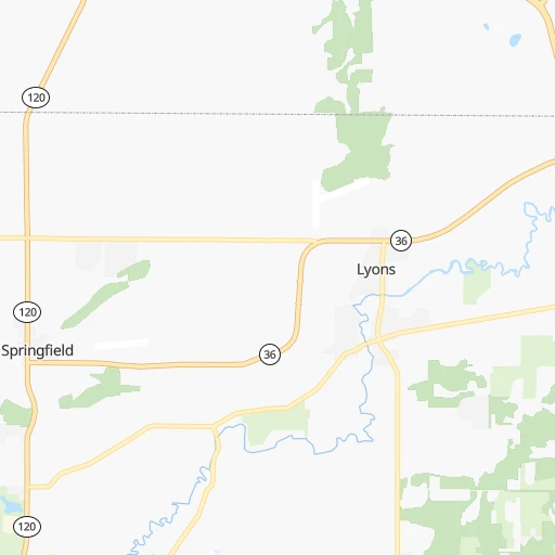
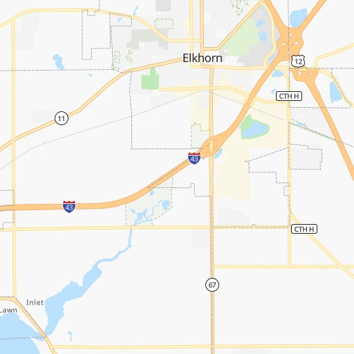
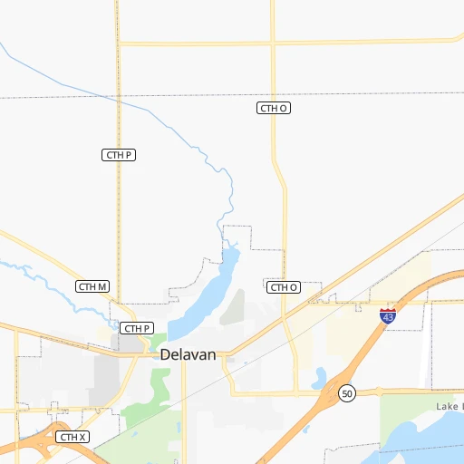
Roadmap (route) to go from Plows & Props Airport to De Pere detailed above, you can also see the course layout on the map.
While doing trip Plows & Props (airport) - De Pere by car, the calculated route ends at a distance , or more straight.
Distance and duration of the route between Plows & Props (airport) and De Pere
Calculation of distance and route from De Pere to Plows & Props (airport) :
202.5230.3 km3h11mn
Continue onto State Highway 36 0h1mn 1.2 kmTurn right onto State Highway 120 0h12mn 14.9 kmTurn right 0h7mn 10.9 kmKeep right and take WI 83 toward Mukwonago 0h0mn 425 mKeep left and take I 43 North Alternate, WI 83 North toward Mukwonago 0h0mn 66 mTurn left onto South Rochester Street 0h8mn 8.5 kmAt roundabout, take exit 2 onto State Highway 83 0h1mn 1.3 kmAt roundabout, take exit 2 onto State Highway 83 0h3mn 2.9 kmAt roundabout, take exit 2 onto State Highway 83 0h4mn 4.2 kmAt roundabout, take exit 2 onto State Highway 83 0h2mn 2.7 kmAt roundabout, take exit 2 onto North Wales Road 0h10mn 11.0 kmTurn left onto Campus Drive 0h23mn 25.1 kmTurn right onto Grand Avenue 0h2mn 1.1 kmTurn right onto Union Street 0h8mn 8.0 kmTurn right onto County Highway S 0h1mn 813 mTurn left onto County Highway W 0h3mn 4.1 kmTurn sharp right onto Main Street 0h1mn 718 mTurn left and take I 41 North, US 41 North toward Appleton 0h22mn 36.9 kmKeep right and take US 151 toward Madison, Manitowoc 0h1mn 638 mKeep right 0h29mn 34.0 kmKeep left onto US 151 0h19mn 19.1 kmTurn left onto State Highway 114 0h4mn 4.1 kmAt roundabout, take exit 1 onto State Highway 55 0h3mn 2.5 kmAt roundabout, take exit 2 onto State Highway 55 0h3mn 3.6 kmAt roundabout, take exit 2 onto Crooks Avenue 0h2mn 1.7 kmAt roundabout, take exit 2 onto Crooks Avenue 0h1mn 727 mTurn right onto Crooks Avenue 0h0mn 46 mTurn slight right onto Crooks Avenue 0h6mn 5.0 kmAt roundabout, take exit 1 0h12mn 20.5 kmKeep right toward CTH G 0h0mn 484 mKeep right 0h0mn 197 mAt roundabout, take exit 2 onto West Main Avenue 0h2mn 1.7 kmTurn left onto 3rd Street 0h0mn 63 mKeep right onto WI 32 0h0mn 77 mTurn slight right onto Main Avenue 0h1mn 571 mAt roundabout, take exit 3 onto WI 57 0h0mn 227 mArrive at destination 0h0mn 0 m
Travel from Plows & Props (airport) (Wisconsin) to a selection of major cities.
Distances from Plows & Props Airport to biggest cities in Wisconsin
- Beloit,36,891 inhabitants.54 km
- Franklin,36,222 inhabitants.40 km
- Menomonee Falls,36,119 inhabitants.64 km
- Oak Creek,35,243 inhabitants.51 km
- Manitowoc,33,010 inhabitants.172 km
- Sun Prairie,32,365 inhabitants.90 km
- West Bend,31,695 inhabitants.89 km
- Fitchburg,27,996 inhabitants.94 km
- Stevens Point,26,604 inhabitants.230 km
- Superior,26,579 inhabitants.540 km
- Mount Pleasant,26,272 inhabitants.45 km
- Neenah,25,792 inhabitants.172 km
- Muskego,24,755 inhabitants.36 km
- De Pere,24,724 inhabitants.203 km
- Caledonia,24,684 inhabitants.43 km
- Watertown,23,819 inhabitants.67 km
- Mequon,23,132 inhabitants.70 km
- South Milwaukee,21,233 inhabitants.53 km
- Pleasant Prairie,20,726 inhabitants.39 km
Other major cities in country :
- Charlotte [NC], 827,097 inhabitants. 1,052 km
- Seattle [WA], 684,451 inhabitants. 2,699 km
- Denver [CO], 682,545 inhabitants. 1,424 km
- El Paso [TX], 681,124 inhabitants. 2,003 km
- Detroit [MI], 677,116 inhabitants. 441 km
- Boston [MA], 667,137 inhabitants. 1,421 km
- Memphis [TN], 655,770 inhabitants. 846 km
- New South Memphis [TN], 641,608 inhabitants. 853 km
- Portland [OR], 632,309 inhabitants. 2,739 km
- Oklahoma City [OK], 631,346 inhabitants. 1,121 km
- Las Vegas [NV], 623,747 inhabitants. 2,398 km
- Baltimore [MD], 621,849 inhabitants. 1,058 km
- Washington, D.C. [DC], 601,723 inhabitants. 1,044 km
- South Boston [MA], 571,281 inhabitants. 1,422 km
- Albuquerque [NM], 559,121 inhabitants. 1,787 km
- Tucson [AZ], 531,641 inhabitants. 2,294 km
- Nashville [TN], 530,852 inhabitants. 734 km
- Fresno [CA], 520,052 inhabitants. 2,749 km
- Sacramento [CA], 490,712 inhabitants. 2,815 km
- Kansas City [MO], 475,378 inhabitants. 653 km
Route from De Pere to major cities (United States).
- Distance De Pere New York City1,223 km
- Distance De Pere Los Angeles2,827 km
- Distance De Pere Chicago291 km
- Distance De Pere Brooklyn1,230 km
- Distance De Pere Houston1,757 km
- Distance De Pere Queens1,237 km
- Distance De Pere Philadelphia1,174 km
- Distance De Pere Phoenix2,399 km
- Distance De Pere Manhattan1,223 km
- Distance De Pere San Antonio1,909 km
- Distance De Pere San Diego2,829 km
- Distance De Pere The Bronx1,227 km
- Distance De Pere Dallas1,503 km
- Distance De Pere San Jose2,932 km
- Distance De Pere Austin1,793 km
- Distance De Pere Jacksonville1,669 km
- Distance De Pere San Francisco2,952 km
- Distance De Pere Columbus651 km
- Distance De Pere Fort Worth1,531 km
- Distance De Pere Indianapolis544 km
Nearest cities to Plows & Props (airport) :
- Chicago, 2,720,546 inhabitants. 108 km
- Indianapolis, 829,718 inhabitants. 371 km
- Milwaukee, 600,155 inhabitants. 60 km
- Madison, 248,951 inhabitants. 95 km
- Aurora, 200,661 inhabitants. 98 km
- Grand Rapids, 195,097 inhabitants. 226 km
- Rockford, 148,278 inhabitants. 71 km
- Joliet, 147,861 inhabitants. 127 km
- Naperville, 147,100 inhabitants. 98 km
- Springfield, 116,565 inhabitants. 333 km
- Peoria, 115,070 inhabitants. 238 km
- North Peoria, 113,004 inhabitants. 236 km
- Elgin, 112,111 inhabitants. 68 km
- Green Bay, 105,207 inhabitants. 211 km
- Davenport, 102,582 inhabitants. 219 km
- South Bend, 101,516 inhabitants. 207 km
- Kenosha, 99,858 inhabitants. 48 km
- Carmel, 88,713 inhabitants. 353 km
- Waukegan, 88,475 inhabitants. 55 km
- West Town, 86,429 inhabitants. 102 km
- Champaign, 86,096 inhabitants. 282 km
- Near North Side, 85,711 inhabitants. 104 km
- Cicero, 83,886 inhabitants. 103 km
- Belmont Cragin, 79,159 inhabitants. 95 km
- Bloomington, 78,292 inhabitants. 245 km
- Racine, 77,742 inhabitants. 51 km
- Hammond, 77,614 inhabitants. 139 km
- Gary, 77,156 inhabitants. 146 km
- Fishers, 76,794 inhabitants. 359 km
- Kalamazoo, 76,041 inhabitants. 234 km
- Arlington Heights, 75,926 inhabitants. 71 km
- Evanston, 75,527 inhabitants. 89 km
- Wyoming, 75,275 inhabitants. 222 km
- Schaumburg, 74,693 inhabitants. 73 km
- Bolingbrook, 74,306 inhabitants. 109 km
- Appleton, 74,139 inhabitants. 180 km
- South Lawndale, 73,826 inhabitants. 105 km
- Logan Square, 73,702 inhabitants. 99 km
- Decatur, 73,254 inhabitants. 315 km
- West Ridge, 72,211 inhabitants. 92 km
- Waukesha, 71,970 inhabitants. 43 km
- Lafayette, 71,111 inhabitants. 278 km
- Palatine, 69,308 inhabitants. 66 km
- Lincoln Park, 66,959 inhabitants. 101 km
- Oshkosh, 66,555 inhabitants. 154 km
- Portage Park, 64,841 inhabitants. 92 km
- Skokie, 64,821 inhabitants. 87 km
- Janesville, 64,123 inhabitants. 51 km
- West Allis, 60,620 inhabitants. 52 km
- Noblesville, 59,093 inhabitants. 351 km
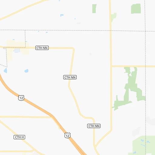
Location Plows & Props (airport) (Wisconsin) :
| Country flag |  |
| Location | Plows & Props (airport) |
| State | Wisconsin |
| County | Walworth County |
| Country | United States |
| Country code / ISO 2 | US |
| Latitude | 42.6427900 |
| Longitude | -88.3987100 |
| Altitude | 254 meters |
| Time zone | America/Chicago |
Location De Pere (Wisconsin) :
| Country flag | |
| Location | De Pere |
| State | Wisconsin |
| County | Brown County |
| Country | United States |
| Country code / ISO 2 | US |
| Latitude | 44.4488800 |
| Longitude | -88.0603800 |
| Altitude | 183 meters |
| Time zone | America/Chicago |


