

How to get from Alp İstasyonu (Erzincan) to Cimin (Erzincan)
Calculate route from Alp İstasyonu (Erzincan, Turkey) to Cimin (Erzincan, Turkey).
The flight distance (as the crow flies) between Alp İstasyonu and Cimin is 44.6 km.
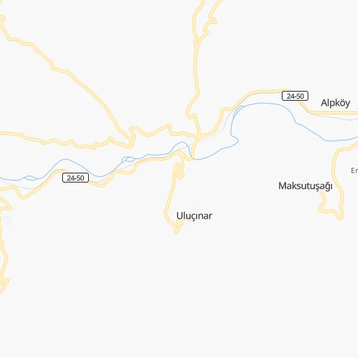
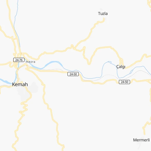
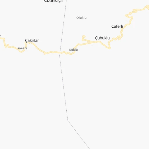
Roadmap (route) to go from Alp İstasyonu to Cimin detailed above, you can also see the course layout on the map.
While doing trip Alp İstasyonu - Cimin by car, the calculated route ends at a distance , or more straight.
Distance and duration of the route between Alp İstasyonu and Cimin
Calculation of distance and route from Cimin to Alp İstasyonu :
44.651.6 km1h51mn
Continue onto Erzincan - Kemah yolu 0h28mn 27.9 kmTurn right onto Sivas-Erzincan yolu 0h14mn 16.8 kmTurn left 0h4mn 3.4 kmTurn right onto Şehir Yolu Caddesi 0h1mn 546 mKeep left onto Şehir Yolu Caddesi 0h3mn 2.7 kmTurn right 0h0mn 149 mTurn sharp left onto Erzincan Bulvarı 0h0mn 139 mTurn right 0h0mn 32 mArrive at destination 0h0mn 0 m
Travel from Alp İstasyonu (Erzincan) to a selection of major cities.
Distances from Alp İstasyonu to biggest cities in Erzincan
Other major cities in country :
- Sanliurfa [63], 449,549 inhabitants. 275 km
- Malatya [44], 441,805 inhabitants. 160 km
- Sultangazi [34], 436,935 inhabitants. 891 km
- Maltepe [34], 427,040 inhabitants. 864 km
- Erzurum [25], 420,691 inhabitants. 181 km
- Samsun [55], 394,050 inhabitants. 304 km
- Batman [76], 381,990 inhabitants. 256 km
- Kahramanmaras [46], 376,045 inhabitants. 300 km
- Van [65], 371,713 inhabitants. 383 km
- Atasehir [34], 361,615 inhabitants. 868 km
- Sisli [34], 314,684 inhabitants. 880 km
- Denizli [20], 313,238 inhabitants. 901 km
- Batikent [68], 300,000 inhabitants. 554 km
- Elazig [23], 298,004 inhabitants. 105 km
- Zeytinburnu [34], 288,743 inhabitants. 886 km
- Adapazari [54], 286,787 inhabitants. 758 km
- Sultanbeyli [34], 286,622 inhabitants. 855 km
- Gebze [41], 281,436 inhabitants. 840 km
- Merkezefendi [20], 280,341 inhabitants. 904 km
- Sivas [58], 264,022 inhabitants. 187 km
Route from Cimin to major cities (Turkey).
- Distance Cimin Istanbul923 km
- Distance Cimin Ankara586 km
- Distance Cimin Izmir1,094 km
- Distance Cimin Bursa909 km
- Distance Cimin Adana486 km
- Distance Cimin Gaziantep358 km
- Distance Cimin Konya658 km
- Distance Cimin Cankaya585 km
- Distance Cimin Antalya846 km
- Distance Cimin Bagcilar931 km
- Distance Cimin Diyarbakir205 km
- Distance Cimin Kayseri379 km
- Distance Cimin UEskuedar917 km
- Distance Cimin Bahcelievler930 km
- Distance Cimin Umraniye908 km
- Distance Cimin Mersin547 km
- Distance Cimin Esenler929 km
- Distance Cimin Eskisehir785 km
- Distance Cimin Karabaglar1,096 km
- Distance Cimin Muratpasa841 km
Nearest cities to Alp İstasyonu :
- Gaziantep, 1,065,975 inhabitants. 326 km
- Diyarbakir, 644,763 inhabitants. 210 km
- Sanliurfa, 449,549 inhabitants. 275 km
- Malatya, 441,805 inhabitants. 160 km
- Erzurum, 420,691 inhabitants. 181 km
- Samsun, 394,050 inhabitants. 304 km
- Batman, 381,990 inhabitants. 256 km
- Kahramanmaras, 376,045 inhabitants. 300 km
- Elazig, 298,004 inhabitants. 105 km
- Sivas, 264,022 inhabitants. 187 km
- Trabzon, 244,083 inhabitants. 161 km
- Adiyaman, 223,744 inhabitants. 221 km
- Osmaniye, 202,837 inhabitants. 382 km
- Siverek, 175,341 inhabitants. 208 km
- Viransehir, 154,163 inhabitants. 271 km
- Kiziltepe, 150,174 inhabitants. 296 km
- Tokat, 129,702 inhabitants. 238 km
- Ordu, 116,788 inhabitants. 187 km
- Siirt, 114,034 inhabitants. 304 km
- Erzincan, 114,027 inhabitants. 29 km
- Giresun, 98,864 inhabitants. 160 km
- Rize, 92,772 inhabitants. 193 km
- Nusaybin, 88,977 inhabitants. 334 km
- Mus, 82,536 inhabitants. 221 km
- Nizip, 82,308 inhabitants. 315 km
- Kilis, 82,301 inhabitants. 371 km
- Fatsa, 82,160 inhabitants. 213 km
- Cizre, 80,992 inhabitants. 365 km
- Bingol, 80,568 inhabitants. 139 km
- Elbistan, 80,456 inhabitants. 234 km
- UEnye, 77,585 inhabitants. 234 km
- Midyat, 76,268 inhabitants. 308 km
- Bismil, 74,493 inhabitants. 235 km
- Kahta, 73,105 inhabitants. 210 km
- Mardin, 71,373 inhabitants. 290 km
- Ardesen, 67,965 inhabitants. 232 km
- Silvan, 65,956 inhabitants. 228 km
- Dortyol, 56,513 inhabitants. 403 km
- Ergani, 52,684 inhabitants. 158 km
- Erbaa, 52,185 inhabitants. 252 km
- Carsamba, 50,459 inhabitants. 273 km
- Niksar, 49,865 inhabitants. 219 km
- Sebin Karahisar, 47,360 inhabitants. 99 km
- Suruc, 46,694 inhabitants. 302 km
- Bitlis, 46,111 inhabitants. 286 km
- Akcaabat, 45,105 inhabitants. 159 km
- Birecik, 44,284 inhabitants. 307 km
- Bulancak, 43,635 inhabitants. 168 km
- Besni, 41,892 inhabitants. 244 km
- Afsin, 39,613 inhabitants. 249 km
Location Alp İstasyonu (Erzincan) :
| Country flag |  |
| Location | Alp İstasyonu |
| State | Erzincan |
| County | |
| Country | Turkey |
| Country code / ISO 2 | TR |
| Latitude | 39.6183800 |
| Longitude | 39.1919400 |
| Altitude | 0 meters |
| Time zone | Europe/Istanbul |
Location Cimin (Erzincan) :
| Country flag | |
| Location | Cimin |
| State | Erzincan |
| County | |
| Country | Turkey |
| Country code / ISO 2 | TR |
| Latitude | 39.7094700 |
| Longitude | 39.7001500 |
| Altitude | 0 meters |
| Time zone | Europe/Istanbul |