
How to get from Çayhan İstasyonu (Konya) to Hadim (Konya)
Calculate route from Çayhan İstasyonu (Konya, Turkey) to Hadim (Konya, Turkey).
The flight distance (as the crow flies) between Çayhan İstasyonu and Hadim is 176.5 km.
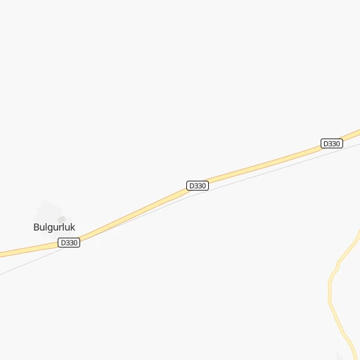
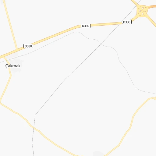
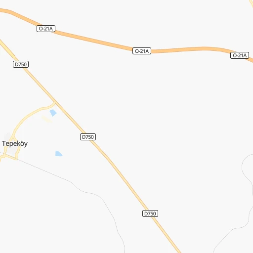
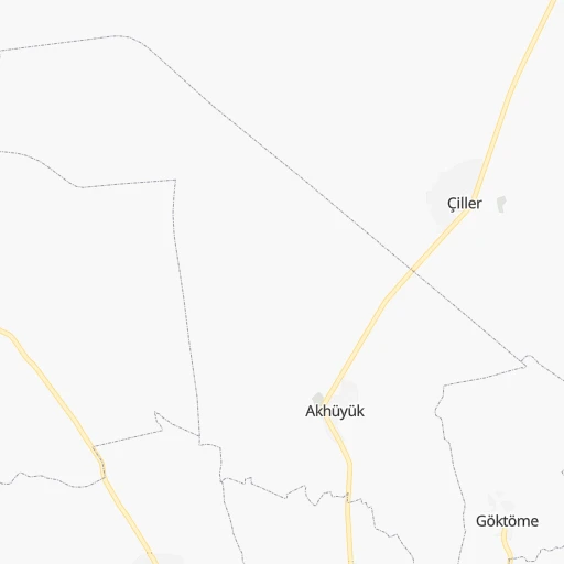
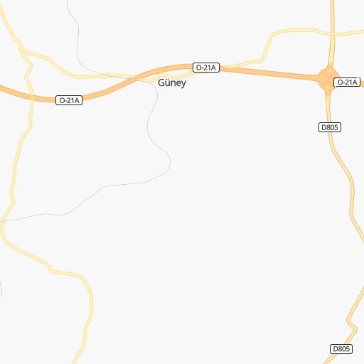
Roadmap (route) to go from Çayhan İstasyonu to Hadim detailed above, you can also see the course layout on the map.
While doing trip Çayhan İstasyonu - Hadim by car, the calculated route ends at a distance , or more straight.
Distance and duration of the route between Çayhan İstasyonu and Hadim
Calculation of distance and route from Hadim to Çayhan İstasyonu :
176.5209.9 km3h9mn
Continue 0h0mn 209 mTurn slight right 0h0mn 38 mTurn sharp left onto Konya-Adana yolu 0h20mn 23.0 kmAt roundabout, take exit 2 0h0mn 356 mTurn right 0h1mn 675 mKeep left 0h0mn 26 mTurn right 0h1mn 685 mTurn right 0h1mn 1.1 kmTurn right onto İnönü Caddesi 0h0mn 20 mKeep left 0h0mn 17 mTurn slight right 0h1mn 535 mTurn left 0h1mn 608 mTurn right 0h0mn 12 mKeep left 0h0mn 31 mTurn left 0h0mn 67 mKeep right 0h2mn 1.6 kmKeep right 1h53mn 62.0 kmKeep right onto Karaman-Ereğli Yolu 0h1mn 1.1 kmKeep right onto D350 0h5mn 6.2 kmKeep right onto Karaman-Ereğli Yolu 0h3mn 3.3 kmKeep right onto Karaman-Ereğli Yolu 0h2mn 1.8 kmKeep right onto Karaman-Ereğli Yolu 0h2mn 1.8 kmContinue onto Karaman-Ereğli Yolu 0h2mn 2.5 kmKeep right onto D350 0h2mn 2.1 kmKeep right 0h3mn 3.7 kmKeep right onto Atatürk Caddesi 0h4mn 4.1 kmKeep right onto Konya - Karaman yolu 0h15mn 17.1 kmTurn left onto Kazimkarabekir-Mecidiye Yolu 0h0mn 291 mTurn right 0h10mn 8.2 kmTurn left 0h14mn 14.4 kmKeep right onto 15 Temmuz Şehitleri Caddesi 0h1mn 1.2 kmKeep left onto 15 Temmuz Şehitleri Caddesi 0h0mn 48 mTurn left onto Güneysınır Caddesi 0h16mn 17.2 kmAt roundabout, take exit 2 onto Konya-Hadim yolu 0h30mn 32.7 kmKeep right onto Atatürk Caddesi 0h1mn 621 mKeep right 0h1mn 256 mTurn left onto Namık Kemal Caddesi 0h0mn 204 mArrive at destination 0h0mn 0 m
Travel from Çayhan İstasyonu (Konya) to a selection of major cities.
Distances from Çayhan İstasyonu to biggest cities in Konya
Other major cities in country :
- Malatya [44], 441,805 inhabitants. 363 km
- Sultangazi [34], 436,935 inhabitants. 606 km
- Maltepe [34], 427,040 inhabitants. 575 km
- Erzurum [25], 420,691 inhabitants. 658 km
- Samsun [55], 394,050 inhabitants. 443 km
- Batman [76], 381,990 inhabitants. 603 km
- Kahramanmaras [46], 376,045 inhabitants. 233 km
- Van [65], 371,713 inhabitants. 803 km
- Atasehir [34], 361,615 inhabitants. 581 km
- Sisli [34], 314,684 inhabitants. 595 km
- Denizli [20], 313,238 inhabitants. 458 km
- Batikent [68], 300,000 inhabitants. 294 km
- Elazig [23], 298,004 inhabitants. 448 km
- Zeytinburnu [34], 288,743 inhabitants. 596 km
- Adapazari [54], 286,787 inhabitants. 485 km
- Sultanbeyli [34], 286,622 inhabitants. 570 km
- Gebze [41], 281,436 inhabitants. 548 km
- Merkezefendi [20], 280,341 inhabitants. 462 km
- Sivas [58], 264,022 inhabitants. 335 km
- Tarsus [32], 256,482 inhabitants. 95 km
Route from Hadim to major cities (Turkey).
- Distance Hadim Istanbul541 km
- Distance Hadim Ankara328 km
- Distance Hadim Izmir494 km
- Distance Hadim Bursa463 km
- Distance Hadim Adana255 km
- Distance Hadim Gaziantep438 km
- Distance Hadim Cankaya328 km
- Distance Hadim Antalya157 km
- Distance Hadim Bagcilar548 km
- Distance Hadim Diyarbakir693 km
- Distance Hadim Kayseri329 km
- Distance Hadim UEskuedar538 km
- Distance Hadim Bahcelievler544 km
- Distance Hadim Umraniye533 km
- Distance Hadim Mersin195 km
- Distance Hadim Esenler547 km
- Distance Hadim Eskisehir353 km
- Distance Hadim Karabaglar493 km
- Distance Hadim Muratpasa151 km
- Distance Hadim Sanliurfa563 km
Nearest cities to Çayhan İstasyonu :
- Ankara, 3,517,182 inhabitants. 284 km
- Adana, 1,248,988 inhabitants. 115 km
- Konya, 875,530 inhabitants. 161 km
- Cankaya, 792,189 inhabitants. 284 km
- Kayseri, 592,840 inhabitants. 162 km
- Mersin, 537,842 inhabitants. 96 km
- Kahramanmaras, 376,045 inhabitants. 233 km
- Batikent, 300,000 inhabitants. 294 km
- Sivas, 264,022 inhabitants. 335 km
- Tarsus, 256,482 inhabitants. 95 km
- Kirikkale, 211,138 inhabitants. 256 km
- Antakya, 210,000 inhabitants. 229 km
- Osmaniye, 202,837 inhabitants. 184 km
- Corum, 183,418 inhabitants. 331 km
- Iskenderun, 159,965 inhabitants. 203 km
- Aksaray, 152,201 inhabitants. 86 km
- Tokat, 129,702 inhabitants. 358 km
- Karaman, 120,399 inhabitants. 107 km
- Alanya, 112,969 inhabitants. 236 km
- Turhal, 110,884 inhabitants. 345 km
- Manavgat, 99,254 inhabitants. 269 km
- Ceyhan, 96,303 inhabitants. 151 km
- Kirsehir, 94,336 inhabitants. 170 km
- Polatli, 93,262 inhabitants. 286 km
- Eregli, 92,117 inhabitants. 25 km
- Nigde, 91,039 inhabitants. 51 km
- Kozan, 88,115 inhabitants. 136 km
- Yozgat, 87,881 inhabitants. 248 km
- Kilis, 82,301 inhabitants. 270 km
- Elbistan, 80,456 inhabitants. 264 km
- Nevsehir, 75,527 inhabitants. 117 km
- Silifke, 75,315 inhabitants. 142 km
- Khanjarah, 71,379 inhabitants. 336 km
- Kadirli, 70,248 inhabitants. 162 km
- Aksehir, 64,446 inhabitants. 265 km
- Sorgun, 62,862 inhabitants. 256 km
- Cubuk, 62,602 inhabitants. 311 km
- Kirikhan, 60,916 inhabitants. 223 km
- Anamur, 57,128 inhabitants. 215 km
- Reyhanli, 56,995 inhabitants. 253 km
- Dortyol, 56,513 inhabitants. 193 km
- Zile, 55,680 inhabitants. 329 km
- Seydisehir, 51,089 inhabitants. 217 km
- Niksar, 49,865 inhabitants. 403 km
- Keskin, 49,679 inhabitants. 235 km
- Karapinar, 49,509 inhabitants. 66 km
- Mut, 49,397 inhabitants. 133 km
- Kulu, 47,037 inhabitants. 195 km
- Erdemli, 46,570 inhabitants. 114 km
- Cumra, 45,657 inhabitants. 133 km
Location Çayhan İstasyonu (Konya) :
| Country flag |  |
| Location | Çayhan İstasyonu |
| State | Konya |
| County | |
| Country | Turkey |
| Country code / ISO 2 | TR |
| Latitude | 37.6245700 |
| Longitude | 34.2866100 |
| Altitude | 0 meters |
| Time zone | Europe/Istanbul |
Location Hadim (Konya) :
| Country flag | |
| Location | Hadim |
| State | Konya |
| County | |
| Country | Turkey |
| Country code / ISO 2 | TR |
| Latitude | 36.9877600 |
| Longitude | 32.4567400 |
| Altitude | 0 meters |
| Time zone | Europe/Istanbul |