

How to get from Stantsiya Pes’yanka (Altai Krai) to Yarovoye (Altai Krai)
Calculate route from Stantsiya Pes’yanka (Altai Krai, Russia) to Yarovoye (Altai Krai, Russia).
The flight distance (as the crow flies) between Stantsiya Pes’yanka and Yarovoye is 391.7 km.
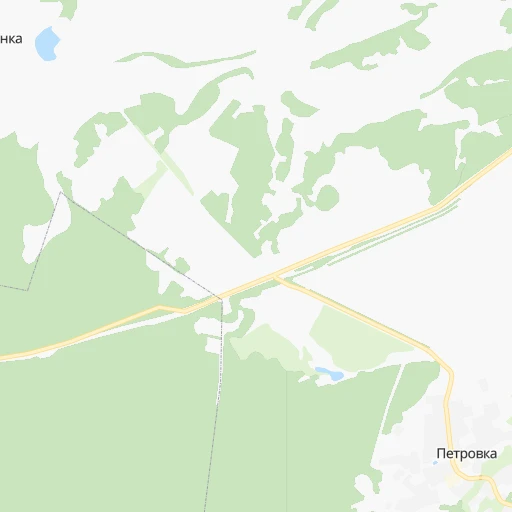
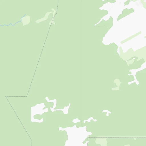
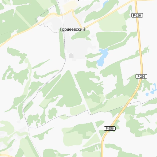
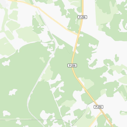
Roadmap (route) to go from Stantsiya Pes’yanka to Yarovoye detailed above, you can also see the course layout on the map.
While doing trip Stantsiya Pes’yanka - Yarovoye by car, the calculated route ends at a distance , or more straight.
Distance and duration of the route between Stantsiya Pes’yanka and Yarovoye
Calculation of distance and route from Yarovoye to Stantsiya Pes’yanka :
391.7495.2 km10h53mn
Continue 0h2mn 228 mTurn left 0h1mn 137 mTurn right onto 01Н-5104 0h21mn 17.5 kmTurn right onto Молодёжный переулок 0h0mn 9 mKeep left onto Молодёжный переулок 0h1mn 396 mTurn right onto 01Н-5104 0h1mn 681 mTurn left onto 01Н-5104 0h3mn 2.2 kmKeep left onto 01Н-5104 0h0mn 31 mTurn left onto «Чуйский тракт» 1h53mn 63.1 kmKeep right 0h1mn 756 mKeep right and drive toward Барнаул (Новосибирский тракт) 0h0mn 188 mContinue 0h10mn 11.1 kmTurn right onto улица Воровского 0h1mn 1.3 kmTurn slight left onto Комсомольский проспект 0h1mn 525 mTurn right onto улица Профинтерна 0h1mn 560 mTurn left onto проспект Калинина 0h0mn 349 mTurn left onto проспект Ленина 0h0mn 60 mKeep right onto проспект Строителей 1h49mn 52.4 kmTurn left 0h0mn 137 mTurn right 0h1mn 417 mContinue 0h8mn 7.7 kmAt roundabout, take exit 3 onto 01К-02 0h0mn 218 mTurn slight right onto 01К-02 1h5mn 71.1 kmTurn left onto Юдиха — Славгород 1h31mn 31.2 kmContinue onto Октябрьская улица 0h0mn 41 mContinue onto Октябрьская улица 0h1mn 1.1 kmTurn left onto Каменская улица 0h0mn 281 mKeep right 0h0mn 31 mTurn left onto Андроновская улица 2h33mn 55.8 kmContinue onto улица Ленина 0h18mn 10.8 kmKeep left 0h6mn 3.1 kmTurn right onto Боровая улица 0h0mn 60 mTurn left onto 01К-22 1h56mn 28.7 kmTurn left onto Мельниковка — Александровка 0h21mn 17.7 kmTurn right onto Мельниковка — Александровка 0h1mn 1.2 kmTurn sharp right onto Благовещенка — Нижняя Суетка 0h6mn 7.9 kmTurn sharp left 0h0mn 7 mTurn right 0h0mn 160 mTurn slight left onto 01К-22 2h34mn 66.5 kmKeep right 0h3mn 2.2 kmContinue onto 01К-22 0h24mn 23.8 kmTurn left onto улица Титова 0h8mn 5.1 kmKeep right 0h7mn 7.5 kmTurn right onto Кулундинская улица 0h1mn 719 mTurn right onto улица Кирова 0h1mn 257 mTurn right onto Барнаульская улица 0h0mn 64 mArrive at destination 0h0mn 0 m
Travel from Stantsiya Pes’yanka (Altai Krai) to a selection of major cities.
Distances from Stantsiya Pes’yanka to biggest cities in Altai Krai
Other major cities in country :
- Yaroslavl [88], 606,730 inhabitants. 2,812 km
- Vladivostok [59], 587,022 inhabitants. 3,623 km
- Irkutsk [20], 586,695 inhabitants. 1,339 km
- Khabarovsk [30], 579,000 inhabitants. 3,526 km
- Khabarovsk Vtoroy [30], 578,303 inhabitants. 3,531 km
- Orenburg [55], 550,204 inhabitants. 1,983 km
- Novokuznetsk [29], 539,616 inhabitants. 193 km
- Ryazan' [62], 520,173 inhabitants. 2,893 km
- Tyumen [78], 519,119 inhabitants. 1,282 km
- Lipetsk [43], 515,655 inhabitants. 2,968 km
- Penza [57], 512,602 inhabitants. 2,600 km
- Naberezhnyye Chelny [73], 509,870 inhabitants. 2,077 km
- Kalininskiy [42], 504,641 inhabitants. 3,306 km
- Astrakhan [07], 502,533 inhabitants. 2,692 km
- Makhachkala [17], 497,959 inhabitants. 2,930 km
- Tomsk [75], 485,519 inhabitants. 383 km
- Kemerovo [29], 477,090 inhabitants. 274 km
- Tula [76], 468,825 inhabitants. 3,036 km
- Kirov [33], 457,383 inhabitants. 2,231 km
- Cheboksary [16], 446,781 inhabitants. 2,392 km
Route from Yarovoye to major cities (Russia).
- Distance Yarovoye Moscow2,638 km
- Distance Yarovoye Saint Petersburg2,998 km
- Distance Yarovoye Novosibirsk370 km
- Distance Yarovoye Yekaterinburg1,226 km
- Distance Yarovoye Nizhniy Novgorod2,236 km
- Distance Yarovoye Samara1,890 km
- Distance Yarovoye Omsk411 km
- Distance Yarovoye Kazan1,922 km
- Distance Yarovoye Rostov-na-Donu2,810 km
- Distance Yarovoye Chelyabinsk1,145 km
- Distance Yarovoye Ufa1,492 km
- Distance Yarovoye Volgograd2,418 km
- Distance Yarovoye Perm1,510 km
- Distance Yarovoye Krasnoyarsk984 km
- Distance Yarovoye Saratov2,207 km
- Distance Yarovoye Voronezh2,652 km
- Distance Yarovoye Tol'yatti1,936 km
- Distance Yarovoye Krasnodar2,981 km
- Distance Yarovoye Ulyanovsk1,984 km
- Distance Yarovoye Izhevsk1,672 km
Nearest cities to Stantsiya Pes’yanka :
- Novosibirsk, 1,419,007 inhabitants. 240 km
- Barnaul, 599,579 inhabitants. 55 km
- Novokuznetsk, 539,616 inhabitants. 193 km
- Kemerovo, 477,090 inhabitants. 274 km
- Prokop'yevsk, 219,000 inhabitants. 178 km
- Biysk, 215,430 inhabitants. 79 km
- Leninsk-Kuznetsky, 109,023 inhabitants. 210 km
- Kiselevsk, 104,000 inhabitants. 180 km
- Berdsk, 90,250 inhabitants. 207 km
- Yurga, 84,220 inhabitants. 297 km
- Belovo, 75,764 inhabitants. 194 km
- Iskitim, 61,827 inhabitants. 190 km
- Novoaltaysk, 61,050 inhabitants. 49 km
- Berezovskiy, 55,000 inhabitants. 304 km
- Gorno-Altaysk, 54,917 inhabitants. 159 km
- Zarinsk, 52,209 inhabitants. 79 km
- Akademgorodok, 50,000 inhabitants. 217 km
- Osinniki, 48,919 inhabitants. 204 km
- Topki, 30,572 inhabitants. 258 km
- Polysayevo, 28,026 inhabitants. 208 km
- Aleysk, 28,019 inhabitants. 128 km
- Kaltan, 25,903 inhabitants. 194 km
- Gur'yevsk, 25,000 inhabitants. 167 km
- Tayga, 24,328 inhabitants. 342 km
- Ob', 24,238 inhabitants. 241 km
- Toguchin, 21,886 inhabitants. 241 km
- Linevo, 21,816 inhabitants. 170 km
- Cherepanovo, 20,125 inhabitants. 146 km
- Yuzhnyy, 19,515 inhabitants. 54 km
- Tal'menka, 18,900 inhabitants. 101 km
- Kedrovka, 17,752 inhabitants. 294 km
- Bolotnoye, 17,704 inhabitants. 290 km
- Promyshlennaya, 17,216 inhabitants. 220 km
- Krasnoobsk, 16,894 inhabitants. 227 km
- Kochenevo, 16,446 inhabitants. 262 km
- Gornyak, 15,668 inhabitants. 308 km
- Mayma, 15,428 inhabitants. 154 km
- Suzun, 15,365 inhabitants. 162 km
- Novosilikatnyy, 15,241 inhabitants. 60 km
- Yashkino, 15,197 inhabitants. 319 km
- Pavlovsk, 14,827 inhabitants. 101 km
- Belokurikha, 14,733 inhabitants. 125 km
- Bachatskiy, 14,618 inhabitants. 176 km
- Gramoteino, 14,010 inhabitants. 208 km
- Altayskoye, 13,852 inhabitants. 138 km
- Pospelikha, 13,586 inhabitants. 219 km
- Inskoy, 13,326 inhabitants. 201 km
- Maslyanino, 13,000 inhabitants. 143 km
- Sibirskiy, 11,952 inhabitants. 72 km
- Krasnobrodskiy, 11,565 inhabitants. 180 km
Location Stantsiya Pes’yanka (Altai Krai) :
| Country flag |  |
| Location | Stantsiya Pes’yanka |
| State | Altai Krai |
| County | |
| Country | Russia |
| Country code / ISO 2 | RU |
| Latitude | 53.0686100 |
| Longitude | 84.4344400 |
| Altitude | 0 meters |
| Time zone | Asia/Barnaul |
Location Yarovoye (Altai Krai) :
| Country flag | |
| Location | Yarovoye |
| State | Altai Krai |
| County | |
| Country | Russia |
| Country code / ISO 2 | RU |
| Latitude | 52.9273000 |
| Longitude | 78.5800000 |
| Altitude | 0 meters |
| Time zone | Asia/Barnaul |