
How to get from Mugma (Jharkhand) to Gosāba (West Bengal)
Calculate route from Mugma (Jharkhand, India) to Gosāba (West Bengal, India).
The flight distance (as the crow flies) between Mugma and Gosāba is 274.2 km.
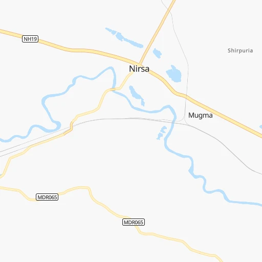
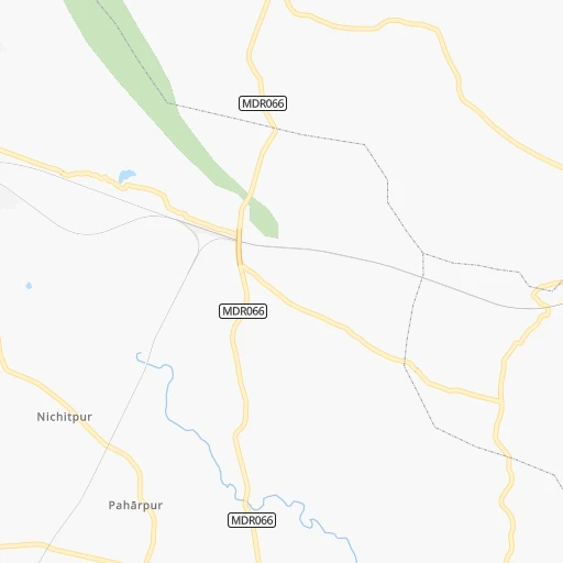
Roadmap (route) to go from Mugma to Gosāba detailed above, you can also see the course layout on the map.
While doing trip Mugma - Gosāba by car, the calculated route ends at a distance , or more straight.
Distance and duration of the route between Mugma and Gosāba
Calculation of distance and route from Gosāba to Mugma :
274.2325.0 km6h37mn
Continue 0h0mn 81 mTurn slight right 0h0mn 118 mTurn slight right 0h0mn 39 mTurn right 0h1mn 659 mTurn left 0h2mn 847 mTurn right onto Grand Trunk Road 0h5mn 5.5 kmAt roundabout, take exit 1 onto Grand Trunk Road 0h15mn 16.3 kmAt roundabout, take exit 2 onto Grand Trunk Road 0h2mn 2.7 kmContinue onto Grand Trunk Road 0h3mn 3.3 kmTurn slight left onto Grand Trunk Road 0h1mn 675 mTurn left onto Grand Trunk Road 0h0mn 36 mTurn right onto NH19 2h42mn 121.0 kmKeep right onto NH19 1h58mn 67.2 kmKeep left onto NH19 0h1mn 983 mKeep left onto SH2 0h0mn 438 mKeep left onto SH2 0h0mn 13 mAt roundabout, take exit 1 onto SH2 0h4mn 4.4 kmAt roundabout, take exit 1 onto SH2 0h0mn 165 mAt roundabout, take exit 3 0h1mn 668 mTurn left onto Deshbandhu Road 0h1mn 1.2 kmTurn right onto Gopal Lal Tagore Road 0h5mn 3.8 kmTurn left 0h1mn 560 mTurn right 0h0mn 224 mTurn left 0h1mn 1.0 kmTurn sharp right 0h0mn 120 mTurn sharp left 0h0mn 82 mTurn left onto Canal Circular Road 0h3mn 2.3 kmTurn sharp left onto 1st Avenue 0h0mn 26 mTurn sharp right 0h5mn 4.0 kmTurn left 0h1mn 467 mTurn left 0h3mn 2.7 kmTurn right 0h2mn 1.2 kmKeep left 0h0mn 60 mTurn slight right 0h0mn 194 mTurn slight right 0h0mn 202 mTurn sharp left onto Basanti Highway 0h3mn 2.9 kmTurn right 0h2mn 2.4 kmTurn left onto Kheyadaha Road 0h0mn 162 mTurn left 0h9mn 7.2 kmTurn right 0h4mn 3.4 kmTurn sharp left 0h1mn 602 mTurn right 0h1mn 313 mTurn left 0h2mn 1.9 kmTurn left onto Chakberia to Ghutiary Sharif Road 0h10mn 9.0 kmContinue 0h2mn 1.2 kmTurn left 0h0mn 25 mTurn right 0h2mn 833 mKeep right 0h1mn 451 mTurn slight right 0h3mn 1.5 kmTurn sharp left onto Baruipur-Canning Road 0h14mn 13.6 kmTurn right 0h1mn 625 mTurn right onto Basanti Highway 0h22mn 23.8 kmTurn left 0h0mn 30 mTurn right 0h0mn 48 mTurn left 0h9mn 932 mTurn right 0h0mn 186 mTurn right 0h0mn 114 mTurn right 0h9mn 4.7 kmKeep left 0h2mn 819 mTurn left 0h0mn 72 mTurn right 0h0mn 121 mTurn left 0h11mn 455 mTurn right 0h1mn 298 mKeep left 0h1mn 445 mTurn right 0h0mn 35 mContinue 0h1mn 650 mContinue 0h0mn 25 mKeep right 0h6mn 3.0 kmTurn left 0h0mn 97 mArrive at destination 0h0mn 0 m
Travel from Mugma (West Bengal) to a selection of major cities.
Distances from Mugma to biggest cities in Jharkhand
- Pakur,45,840 inhabitants.149 km
- Pathardih,45,276 inhabitants.34 km
- Gumla,44,951 inhabitants.239 km
- Godda,43,658 inhabitants.129 km
- Garhwa,40,662 inhabitants.303 km
- Chakradharpur,40,599 inhabitants.166 km
- Ghatsila,40,018 inhabitants.133 km
- Simdega,38,732 inhabitants.262 km
- Jamadoba,34,774 inhabitants.36 km
- Mushabani,32,761 inhabitants.141 km
- Sijua,31,537 inhabitants.43 km
- Gomoh,31,395 inhabitants.62 km
- Khunti,31,366 inhabitants.168 km
- Gobindpur,27,066 inhabitants.142 km
- Husainabad,26,184 inhabitants.292 km
- Jamtara,24,388 inhabitants.24 km
- Barki Saria,24,134 inhabitants.99 km
- Latehar,20,769 inhabitants.229 km
- Dugda,20,400 inhabitants.59 km
Other major cities in country :
- Vadodara [09], 1,409,476 inhabitants. 1,396 km
- Gorakhpur [10], 1,324,570 inhabitants. 1,271 km
- Nashik [16], 1,289,497 inhabitants. 1,401 km
- Pimpri [16], 1,284,606 inhabitants. 1,459 km
- Kalyan [16], 1,262,255 inhabitants. 1,496 km
- Thane [16], 1,261,517 inhabitants. 1,514 km
- Meerut [36], 1,223,184 inhabitants. 1,073 km
- Nowrangapur [21], 1,220,946 inhabitants. 665 km
- Faridabad [10], 1,220,229 inhabitants. 1,076 km
- Ghaziabad [36], 1,199,191 inhabitants. 1,078 km
- Dombivli [16], 1,193,000 inhabitants. 1,502 km
- Rajkot [09], 1,177,362 inhabitants. 1,642 km
- Varanasi [36], 1,164,404 inhabitants. 417 km
- Amritsar [23], 1,092,450 inhabitants. 1,460 km
- Allahabad [36], 1,073,438 inhabitants. 531 km
- Visakhapatnam [02], 1,063,178 inhabitants. 770 km
- Teni [25], 1,034,724 inhabitants. 1,819 km
- Jabalpur [35], 1,030,168 inhabitants. 697 km
- Haora [28], 1,027,672 inhabitants. 207 km
- Aurangabad [16], 1,016,441 inhabitants. 1,255 km
Route from Gosāba to major cities (India).
- Distance Gosāba Mumbai1,693 km
- Distance Gosāba Delhi1,368 km
- Distance Gosāba Bengaluru1,568 km
- Distance Gosāba Chennai1,355 km
- Distance Gosāba Ahmedabad1,668 km
- Distance Gosāba Hyderabad1,207 km
- Distance Gosāba Pune1,611 km
- Distance Gosāba Surat1,655 km
- Distance Gosāba Kanpur981 km
- Distance Gosāba Jaipur1,419 km
- Distance Gosāba Navi Mumbai1,680 km
- Distance Gosāba Lucknow952 km
- Distance Gosāba Nagpur1,011 km
- Distance Gosāba Indore1,335 km
- Distance Gosāba Patna534 km
- Distance Gosāba Bhopal1,176 km
- Distance Gosāba Ludhiana1,614 km
- Distance Gosāba Tirunelveli1,911 km
- Distance Gosāba Agra1,225 km
- Distance Gosāba Vadodara1,606 km
Nearest cities to Mugma :
- Kolkata, 4,631,392 inhabitants. 212 km
- Patna, 1,599,920 inhabitants. 262 km
- Haora, 1,027,672 inhabitants. 207 km
- Ranchi, 846,454 inhabitants. 154 km
- Jamshedpur, 616,338 inhabitants. 120 km
- Raurkela, 536,450 inhabitants. 257 km
- Durgapur, 518,872 inhabitants. 63 km
- Shiliguri, 515,574 inhabitants. 370 km
- Asansol, 504,271 inhabitants. 25 km
- Bhatpara, 483,129 inhabitants. 196 km
- Shyamnagar, 441,956 inhabitants. 195 km
- Nangi, 440,894 inhabitants. 204 km
- Gaya, 423,692 inhabitants. 212 km
- Bokaro, 418,533 inhabitants. 81 km
- Panihati, 378,705 inhabitants. 204 km
- Bhagalpur, 361,548 inhabitants. 168 km
- Muzaffarpur, 333,200 inhabitants. 297 km
- Kamarhati, 332,965 inhabitants. 205 km
- Kulti, 305,405 inhabitants. 10 km
- Barddhaman, 301,725 inhabitants. 126 km
- Barasat, 298,127 inhabitants. 211 km
- Bali, 296,973 inhabitants. 204 km
- Darbhanga, 287,150 inhabitants. 281 km
- Baranagar, 260,072 inhabitants. 208 km
- Naihati, 253,221 inhabitants. 195 km
- Bihar Sharif, 244,230 inhabitants. 203 km
- Barasat, 237,783 inhabitants. 244 km
- Shrirampur, 226,317 inhabitants. 197 km
- Arrah, 223,676 inhabitants. 291 km
- Gosaba, 222,764 inhabitants. 275 km
- Kharagpur, 219,665 inhabitants. 168 km
- Dhanbad, 219,636 inhabitants. 32 km
- Monghyr, 203,163 inhabitants. 183 km
- Chapra, 201,597 inhabitants. 303 km
- Purnia, 198,453 inhabitants. 237 km
- Katihar, 192,555 inhabitants. 216 km
- Kultali, 187,942 inhabitants. 267 km
- Chandannagar, 180,623 inhabitants. 193 km
- Baharampur, 180,547 inhabitants. 158 km
- Hugli, 177,005 inhabitants. 193 km
- Haldia, 170,695 inhabitants. 234 km
- Raiganj, 170,252 inhabitants. 250 km
- Ingraj Bazar, 170,039 inhabitants. 199 km
- Sambalpur, 162,887 inhabitants. 382 km
- Madhyamgram, 161,126 inhabitants. 210 km
- Jamuria, 160,242 inhabitants. 34 km
- Medinipur, 153,349 inhabitants. 159 km
- Dinapore, 152,940 inhabitants. 271 km
- Shantipur, 149,983 inhabitants. 181 km
- Barakpur, 148,174 inhabitants. 198 km
Location Mugma (Jharkhand) :
| Country flag |  |
| Location | Mugma |
| State | Jharkhand |
| County | Dhānbād |
| Country | India |
| Country code / ISO 2 | IN |
| Latitude | 23.7514100 |
| Longitude | 86.7476100 |
| Altitude | 0 meters |
| Time zone | Asia/Kolkata |
Location Gosāba (West Bengal) :
| Country flag | |
| Location | Gosāba |
| State | West Bengal |
| County | North 24 Parganas |
| Country | India |
| Country code / ISO 2 | IN |
| Latitude | 22.1654700 |
| Longitude | 88.8007000 |
| Altitude | 0 meters |
| Time zone | Asia/Kolkata |
